
Trail of Memories
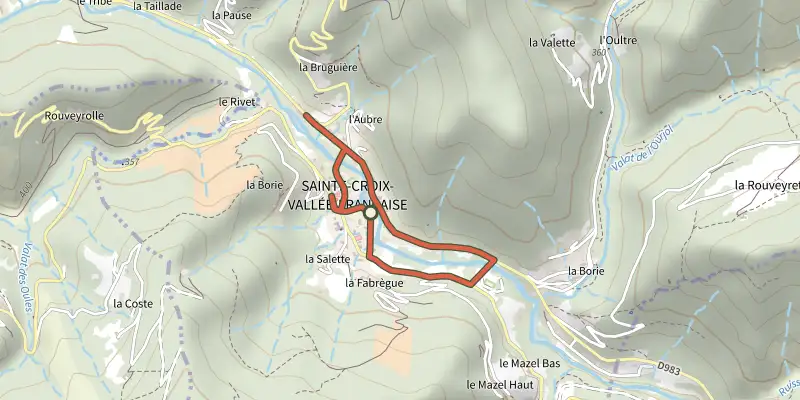
Key facts
- Distance
- 2.2 km
- Ascent
- +40 m
- Descent
- −10 m
- Estimated time
- 30 min
- hiking
- Difficulty
- Very easy
- official rating
- Route
- Loop
- back to the start
Profile and gradient
- under 10%
- 10 to 20%
- over 20%
Gradient along the route: 2.2 km under 10%. Elevation from 334 m to 348 m over 2.2 km.
Description
A circuit that explores life in the village of Sainte-Croix-Vallée-Française in the 1930s. In the 1930s, Sainte-Croix-Vallée-Française was a hive of activity: crafting, farming and festivities. The Gardon river reflected the houses, and set the rhythm of life. A circuit of 21 audio points lets you to explore the villagers’ daily life as told by oral history. Some 30 works by regional artists illustrate the economic activity of the time.
Difficulty
Official rating: very easy, by Parc national des Cévennes.
Before you go
- To hear the oral history accounts in their entirety: either directly via a smartphone (QR code on the panels) or on audioguides available at the tourist office. Excerpts of the accounts are broadcast directly on the platform Destination Cévennes.
Getting there
Start: Office de tourisme, Sainte-Croix-Vallée-Française (48).
Sources
- Track: Parc national des Cévennes, Licence Ouverte 1.0, Licence Ouverte 1.0 (Etalab) (destination.cevennes-parcnational.fr/trek/38033-Chemin-de-memoires). Time estimated by GPX Path with the Mac app rule, breaks not included.
- Official elevation gain: 40 m, Parc national des Cévennes
Nearby tracks

 Plan IGN © IGN 2026CastelvielCévennes, Saint-Martin-de-Lansuscle (48) · LoopOfficial rating by Parc national des Cévennes
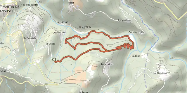 Plan IGN © IGN 2026Béal des AbritsCévennes, Saint-Martin-de-Lansuscle (48) · LoopOfficial rating by Parc national des Cévennes
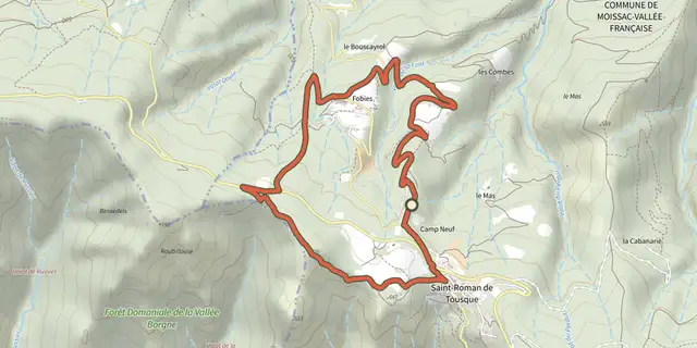 Plan IGN © IGN 2026Saint-RomanCévennes, Moissac-Vallée-Française (48) · LoopOfficial rating by Parc national des Cévennes
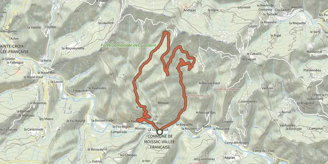 Plan IGN © IGN 2026La Carrière, sur les pas des MaquisardsCévennes, Moissac-Vallée-Française (48) · LoopOfficial rating by Parc national des Cévennes
 Plan IGN © IGN 2026A steep climbCévennes, Saint-André-de-Valborgne (30) · LoopOfficial rating by Parc national des Cévennes
 Plan IGN © IGN 2026Lique SerCévennes, Saint-André-de-Valborgne (30) · LoopOfficial rating by Parc national des Cévennes