
Hiking GPX tracks in Auvergne (page 8)
439 GPX tracks in Auvergne, with distance, elevation gain and time for each track. Filter by department, sport, distance, elevation gain and time.
All GPX tracks in Auvergne


 Plan IGN © IGN 2026La vallée de la GrailleAuvergne, Perpezat (63) · Loop
 Plan IGN © IGN 2026La Vallee de LacotAuvergne, Saint-Maigner (63) · Loop
 Plan IGN © IGN 2026La Vallee des parcellesAuvergne, Saint-Martin-des-Plains (63) · Loop
 Plan IGN © IGN 2026La Vallee des PradesAuvergne, Châtel-Guyon (63) · Loop
 Plan IGN © IGN 2026La Vallee des RouetsAuvergne, Thiers (63) · Point to point
 Plan IGN © IGN 2026La Vallee des SaintsAuvergne, Boudes (63) · Loop
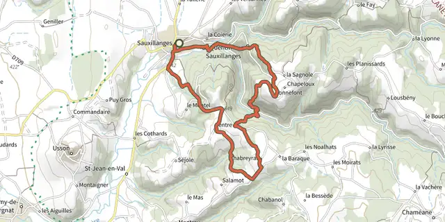 Plan IGN © IGN 2026La Vallee du CivadouxAuvergne, Sauxillanges (63) · Loop
 Plan IGN © IGN 2026La Vallee du FossatAuvergne, Job (63) · Loop
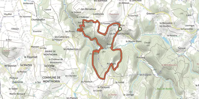 Plan IGN © IGN 2026La Vallee du MadetAuvergne, Égliseneuve-près-Billom (63) · Loop
 Plan IGN © IGN 2026La Vallee du Sans-SouciAuvergne, Châtel-Guyon (63) · Loop
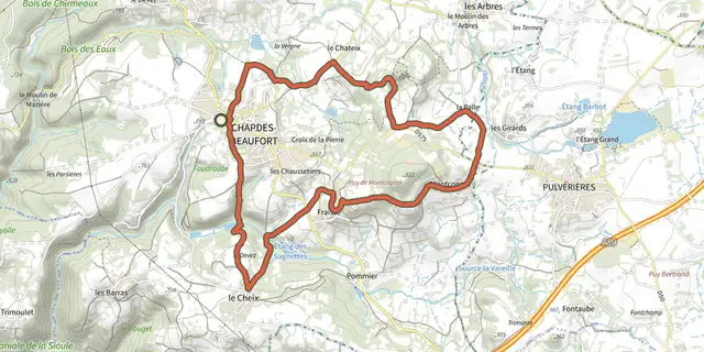 Plan IGN © IGN 2026La Vierge de BeaufortAuvergne, Chapdes-Beaufort (63) · Loop
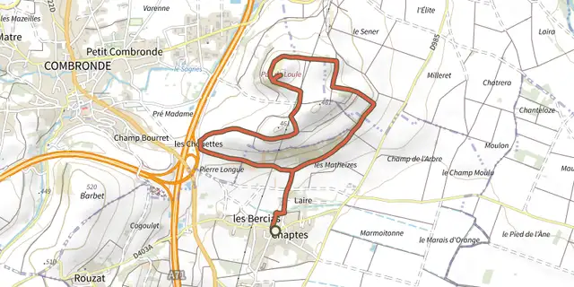 Plan IGN © IGN 2026La vigne du Puy de l'OuleAuvergne, Beauregard-Vendon (63) · Loop
 Plan IGN © IGN 2026La VisadeAuvergne, Égliseneuve-d'Entraigues (63) · Loop
 Plan IGN © IGN 2026La voie d'AgrippaAuvergne, Voingt (63) · Loop
 Plan IGN © IGN 2026La Voie dite Romaine et le Bois de RegheatAuvergne, Pionsat (63) · Loop
 Plan IGN © IGN 2026Lac ChambonAuvergne, Chambon-sur-Lac (63) · Loop
 Plan IGN © IGN 2026Lac et sous BoisAuvergne, Aubusson-d'Auvergne (63) · Loop
 Plan IGN © IGN 2026Le barrage du ChalasAuvergne, Arlanc (63) · Loop
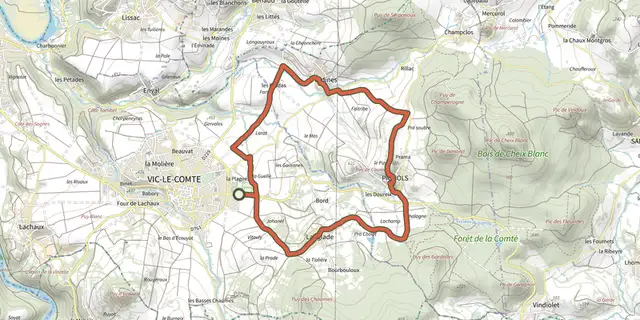 Plan IGN © IGN 2026Le Bassin de VIc-le-ComteAuvergne, Vic-le-Comte (63) · Loop
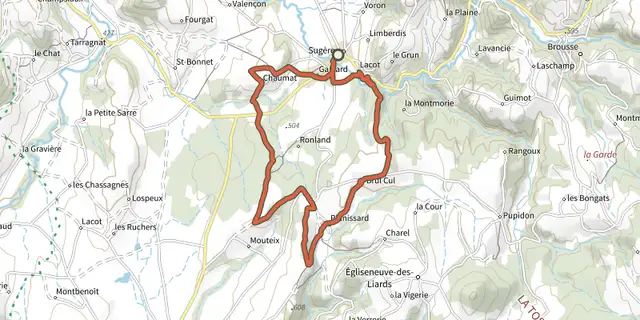 Plan IGN © IGN 2026Le Bois de BordAuvergne, Sugères (63) · Loop
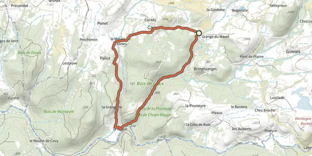 Plan IGN © IGN 2026Le Bois de CauxAuvergne, Saint-Donat (63) · Loop
 Plan IGN © IGN 2026Le Bois de la BarreAuvergne, Anzat-le-Luguet (63) · Loop
 Plan IGN © IGN 2026Le Bois de la GardeAuvergne, Pionsat (63) · Loop
 Plan IGN © IGN 2026Le bois de la MasseAuvergne, Chastreix (63) · Loop