
Hiking GPX tracks in Auvergne (page 19)
439 GPX tracks in Auvergne, with distance, elevation gain and time for each track. Filter by department, sport, distance, elevation gain and time.
All GPX tracks in Auvergne


 Plan IGN © IGN 2026Tour des vaches rouges Variante 63Auvergne, Compains (63) · Point to point
 Plan IGN © IGN 2026Tour du lac de ServieresAuvergne, Orcival (63) · Loop
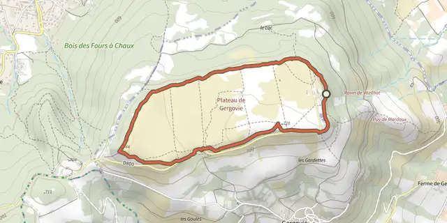 Plan IGN © IGN 2026Tour du plateau de GergovieAuvergne, La Roche-Blanche (63) · Loop
 Plan IGN © IGN 2026TournoelAuvergne, Volvic (63) · Loop
 Plan IGN © IGN 2026Villeneuve, Boudes, ChalusAuvergne, Villeneuve (63) · Loop
 Plan IGN © IGN 2026Vodable et ColamineAuvergne, Mareugheol (63) · Loop
 Plan IGN © IGN 2026VoissièresAuvergne, Chambon-sur-Lac (63) · Loop