
Hiking GPX tracks in Auvergne (page 7)
439 GPX tracks in Auvergne, with distance, elevation gain and time for each track. Filter by department, sport, distance, elevation gain and time.
All GPX tracks in Auvergne


 Plan IGN © IGN 2026La LigonneAuvergne, Viverols (63) · Loop
 Plan IGN © IGN 2026La MaziereAuvergne, Saint-Priest-des-Champs (63) · Loop
 Plan IGN © IGN 2026La MorilleAuvergne, Ravel (63) · Loop
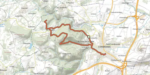 Plan IGN © IGN 2026La Pierre BranlanteAuvergne, Combronde (63) · Loop
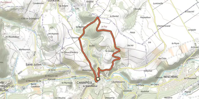 Plan IGN © IGN 2026La Pierre FichadeAuvergne, Champeix (63) · Loop
 Plan IGN © IGN 2026La Pointe du JourAuvergne, Cunlhat (63) · Loop
 Plan IGN © IGN 2026La RamadeAuvergne, Giat (63) · Loop
 Plan IGN © IGN 2026La RenaudieAuvergne, Larodde (63) · Loop
 Plan IGN © IGN 2026La ResistanceAuvergne, Gouttières (63) · Loop
 Plan IGN © IGN 2026 · track © OpenStreetMapLa Roche Branlante d'OrcivalAuvergne, Rochefort-Montagne (63) · Loop
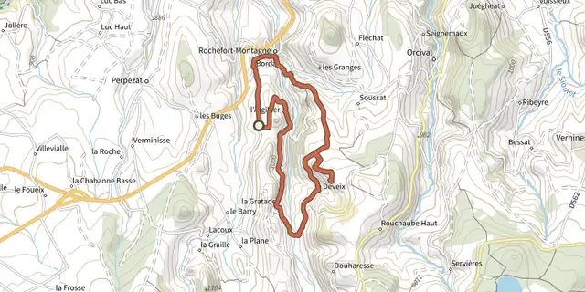 Plan IGN © IGN 2026La Roche Branlante d'OrcivalAuvergne, Rochefort-Montagne (63) · Loop
 Plan IGN © IGN 2026La Roche d'AgouxAuvergne, Saint-Maurice-près-Pionsat (63) · Loop
 Plan IGN © IGN 2026La Roche de SauterreAuvergne, Manzat (63) · Loop
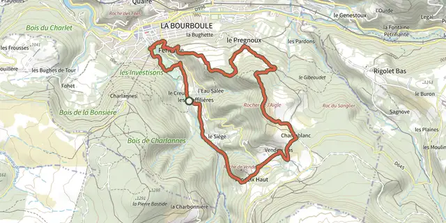 Plan IGN © IGN 2026La Roche de VendeixAuvergne, La Bourboule (63) · Loop
 Plan IGN © IGN 2026La Roche-NitéeAuvergne, Valbeleix (63) · Loop
 Plan IGN © IGN 2026La ronde des fruitsAuvergne, Domaize (63) · Loop
 Plan IGN © IGN 2026La Ronde des SuquetsAuvergne, Saint-Étienne-sur-Usson (63) · Loop
 Plan IGN © IGN 2026La ronde du méandre au viaducAuvergne, Queuille (63) · Loop
 Plan IGN © IGN 2026La SaunadeAuvergne, Landogne (63) · Loop
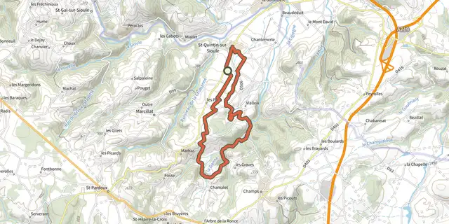 Plan IGN © IGN 2026La source de CharponneAuvergne, Saint-Quintin-sur-Sioule (63) · Loop
 Plan IGN © IGN 2026La Tour de CourcourtAuvergne, Seychalles (63) · Loop
 Plan IGN © IGN 2026La Vallée de BilleyreAuvergne, Valcivières (63) · Loop
 Plan IGN © IGN 2026La Vallée de ChaudefourAuvergne, Chambon-sur-Lac (63) · Loop
 Plan IGN © IGN 2026La Vallee de la ClidaneAuvergne, Bourg-Lastic (63) · Loop