
GPX tracks in Auvergne-Rhône-Alpes (page 9)
551 GPX tracks in Auvergne-Rhône-Alpes, with distance, elevation gain and time for each track. Filter by department, sport, distance, elevation gain and time.
All GPX tracks in Auvergne-Rhône-Alpes


 Plan IGN © IGN 2026La ResistanceAuvergne, Gouttières (63) · Loop
 Plan IGN © IGN 2026 · track © OpenStreetMapLa Roche Branlante d'OrcivalAuvergne, Rochefort-Montagne (63) · Loop
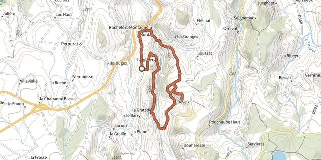 Plan IGN © IGN 2026La Roche Branlante d'OrcivalAuvergne, Rochefort-Montagne (63) · Loop
 Plan IGN © IGN 2026La Roche d'AgouxAuvergne, Saint-Maurice-près-Pionsat (63) · Loop
 Plan IGN © IGN 2026La Roche de SauterreAuvergne, Manzat (63) · Loop
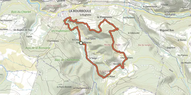 Plan IGN © IGN 2026La Roche de VendeixAuvergne, La Bourboule (63) · Loop
 Plan IGN © IGN 2026Touret RockÉcrins, Chantepérier (38) · Out and backOfficial rating by Parc national des Écrins
 Plan IGN © IGN 2026La Roche-NitéeAuvergne, Valbeleix (63) · Loop
 Plan IGN © IGN 2026La ronde des fruitsAuvergne, Domaize (63) · Loop
 Plan IGN © IGN 2026La Ronde des SuquetsAuvergne, Saint-Étienne-sur-Usson (63) · Loop
 Plan IGN © IGN 2026La ronde du méandre au viaducAuvergne, Queuille (63) · Loop
 Plan IGN © IGN 2026La SaunadeAuvergne, Landogne (63) · Loop
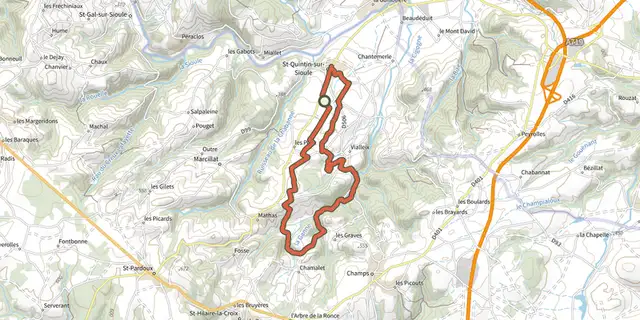 Plan IGN © IGN 2026La source de CharponneAuvergne, Saint-Quintin-sur-Sioule (63) · Loop
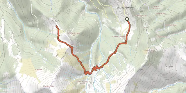 Plan IGN © IGN 2026Tête de Louis XVI via Col de CorbièreÉcrins, Villard-Reymond (38) · Out and backOfficial rating by Parc national des Écrins
 Plan IGN © IGN 2026La Tour de CourcourtAuvergne, Seychalles (63) · Loop
 Plan IGN © IGN 2026La Vallée de BilleyreAuvergne, Valcivières (63) · Loop
 Plan IGN © IGN 2026La Vallée de ChaudefourAuvergne, Chambon-sur-Lac (63) · Loop
 Plan IGN © IGN 2026La Vallee de la ClidaneAuvergne, Bourg-Lastic (63) · Loop
 Plan IGN © IGN 2026La vallée de la GrailleAuvergne, Perpezat (63) · Loop
 Plan IGN © IGN 2026La Vallee de LacotAuvergne, Saint-Maigner (63) · Loop
 Plan IGN © IGN 2026La Vallee des parcellesAuvergne, Saint-Martin-des-Plains (63) · Loop
 Plan IGN © IGN 2026La Vallee des PradesAuvergne, Châtel-Guyon (63) · Loop
 Plan IGN © IGN 2026La Vallee des RouetsAuvergne, Thiers (63) · Point to point
 Plan IGN © IGN 2026La Vallee des SaintsAuvergne, Boudes (63) · Loop