
Touret Rock

Key facts
- Distance
- 7.2 km
- Ascent
- +666 m
- Descent
- −650 m
- Estimated time
- 3 hr 35
- hiking
- Difficulty
- Easy
- official rating
- Route
- Out and back
- same way back
Profile and gradient
- under 10%
- 10 to 20%
- over 20%
Gradient along the route: 2.5 km under 10%, 1.4 km at 10 to 20% and 3.2 km over 20%. Elevation from 905 m to 1,545 m over 7.2 km.
Surface and path types
- Surface
- Paved 5%
- Dirt & gravel 92%
- Unknown 3%
- Path types
- Trail 88%
- Track 4%
- Road 5%
- Off-network 3%
Description
The magnificent belvedere on the agricultural plain and Périer village will be the reward for this hike. This well traced track leads to the hamlet of Salce which was inhabited until 1958. Next, it is steeper crossing a dry beech forest in order to reach an old hayfield at the Touret mountain pass which dominates the Tourot canyons. In the village of Périer, pass in front of the old Alpinistes hotel and go right into rue de la Scierie left of the wash house.. Over the sawmill cross Tourot bridge and go up a few bends onto a limestone slope.. Pass two ruins, the elevated path above the Tourot canyons, come out near to Salce farm. At a fork situated at the summit of the prairies, take the itinerary to the left.. Near to the mountain pass, the old hayfields are now pastures for chamois goats and deer. On the ridge, take a path to the left penetrating the little fir tree wood to reach the Roche du Touret, a magnificent belvedere over the valley and the Grand Armet mountain range to the West. Return using the same itinerary.
Difficulty
Official rating: easy, by Parc national des Écrins.
Before you go
- The track leading up to the Touret mountain pass is steep in places.
Getting there
Start: Le Périer, Chantepérier (38).
Sources
- Track: Parc national des Écrins, Licence Ouverte 2.0, Licence Ouverte 2.0 (Etalab) (destination.ecrins-parcnational.fr/trek/903939-La-roche-du-Touret). Time estimated by GPX Path with the Mac app rule, breaks not included.
- Surface and path types: © OpenStreetMap contributors, ODbL, extract of 28 October 2026, matched to the track every 10 m (openstreetmap.org/copyright)
- Official elevation gain: 666 m, Parc national des Écrins
Nearby tracks
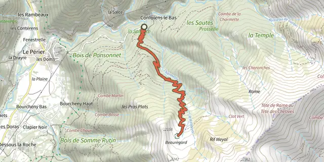
 Plan IGN © IGN 2026La cabane de Rif MeyolÉcrins, Chantepérier (38) · Out and backOfficial rating by Parc national des Écrins
 Plan IGN © IGN 2026Jas des Agneaux via Pissard des AiguillesÉcrins, Chantepérier (38) · Out and backOfficial rating by Parc national des Écrins
 Plan IGN © IGN 2026Lac Gary via le VetÉcrins, Entraigues (38) · Out and backOfficial rating by Parc national des Écrins
 Plan IGN © IGN 2026The jas des Agneaux by the Combe des RobertsÉcrins, Entraigues (38) · Out and backOfficial rating by Parc national des Écrins
 Plan IGN © IGN 2026Tour of Pic de ValsenestreÉcrins, Valjouffrey (38) · Point to pointOfficial rating by Parc national des Écrins
 Plan IGN © IGN 2026Labarre LakeÉcrins, Valjouffrey (38) · Out and backOfficial rating by Parc national des Écrins