
GPX tracks in Auvergne-Rhône-Alpes (page 28)
669 GPX tracks in Auvergne-Rhône-Alpes, with distance, elevation gain and time for each track. Filter by department, sport, distance, elevation gain and time.
All GPX tracks in Auvergne-Rhône-Alpes

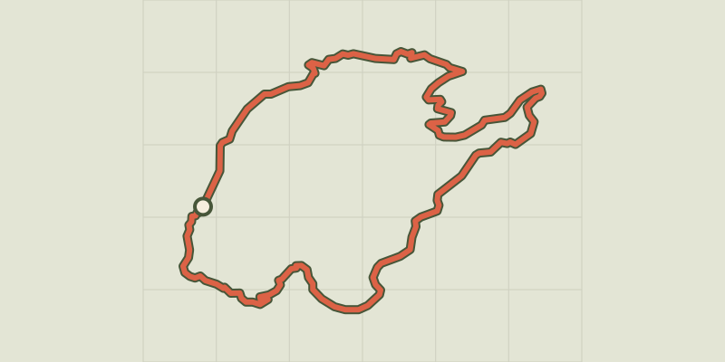
 Plan IGN © IGN 2026 · track © OpenStreetMapTour du Mont Lachat de ChâtillonAuvergne-Rhône-Alpes, Le Grand-Bornand (74) · Loop
 Plan IGN © IGN 2026 · track © OpenStreetMapTour du Mont PeneyAuvergne-Rhône-Alpes, Saint-Jean-d'Arvey (73) · Loop
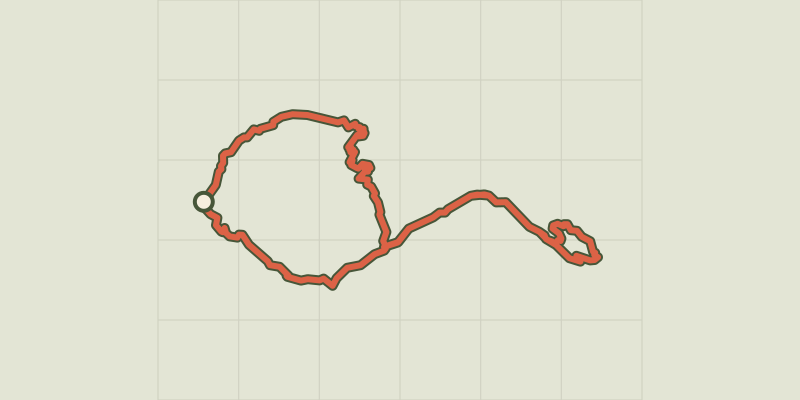 Plan IGN © IGN 2026Tour of Pic de ValsenestreÉcrins, Valjouffrey (38) · Point to pointOfficial rating by Parc national des Écrins
 Plan IGN © IGN 20264-day tour of the Plateau d'Emparis from MizoënÉcrins, Mizoën (38) · Point to pointOfficial rating by Parc national des Écrins
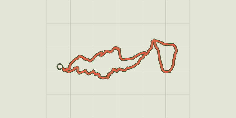 Plan IGN © IGN 20263-day Tour of the Emparis PlateauÉcrins, Mizoën (38) · Point to pointOfficial rating by Parc national des Écrins
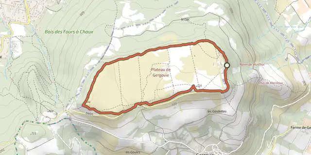 Plan IGN © IGN 2026Tour du plateau de GergovieAuvergne, La Roche-Blanche (63) · Loop
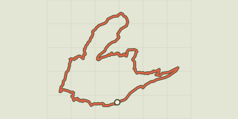 Plan IGN © IGN 2026 · track © OpenStreetMapTour du Roc des Tours et Lac de LessyAuvergne-Rhône-Alpes, Le Grand-Bornand (74) · Loop
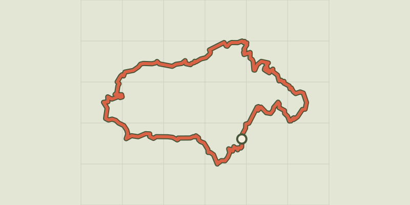 Plan IGN © IGN 20264-day Tour du TailleferAuvergne-Rhône-Alpes, Chantepérier (38) · Point to pointOfficial rating by Parc national des Écrins
 Plan IGN © IGN 20267-day Tour du TailleferAuvergne-Rhône-Alpes, La Morte (38) · Point to pointOfficial rating by Parc national des Écrins
 Plan IGN © IGN 2026Tour GourmandÉcrins, Les Deux Alpes (38) · Point to pointOfficial rating by Parc national des Écrins
 Plan IGN © IGN 2026TournoelAuvergne, Volvic (63) · Loop
 Plan IGN © IGN 2026Travers des lacs par l'Alpe du PinÉcrins, Saint-Christophe-en-Oisans (38) · LoopOfficial rating by Parc national des Écrins
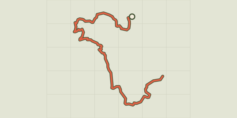 Plan IGN © IGN 2026 · track © OpenStreetMapTraversée de la ferme DurandVercors, Sassenage (38) · Point to point
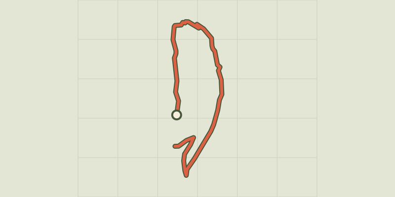 Plan IGN © IGN 2026 · track © OpenStreetMapVallon de l'OrgèreAuvergne-Rhône-Alpes, Villarodin-Bourget (73) · Point to point
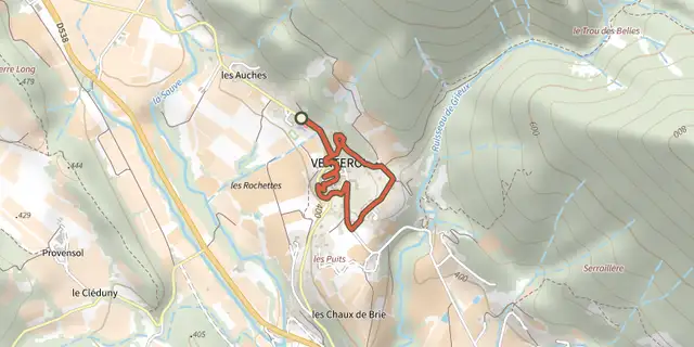 Plan IGN © IGN 2026Venterol - Un village de santonsAuvergne-Rhône-Alpes, Venterol (26) · LoopOfficial rating by Parcs naturels régionaux de Provence-Alpes-Côte d'Azur
 Plan IGN © IGN 2026Vignoble du RevermontAuvergne-Rhône-Alpes, Saint-Martin-du-Mont (01) · LoopOfficial rating by Département de l'Ain
 Plan IGN © IGN 2026Villeneuve, Boudes, ChalusAuvergne, Villeneuve (63) · Loop
 Plan IGN © IGN 2026Villeperdrix - Sentier des oliviersAuvergne-Rhône-Alpes, Villeperdrix (26) · LoopOfficial rating by Parcs naturels régionaux de Provence-Alpes-Côte d'Azur
 Plan IGN © IGN 2026Vodable et ColamineAuvergne, Mareugheol (63) · Loop
 Plan IGN © IGN 2026 · track © OpenStreetMapVoie Verte de L'Argentière à Saint-SerninAuvergne-Rhône-Alpes, Largentière (07) · Point to point
 Plan IGN © IGN 2026VoissièresAuvergne, Chambon-sur-Lac (63) · Loop