
GPX tracks in Auvergne-Rhône-Alpes (page 24)
669 GPX tracks in Auvergne-Rhône-Alpes, with distance, elevation gain and time for each track. Filter by department, sport, distance, elevation gain and time.
All GPX tracks in Auvergne-Rhône-Alpes
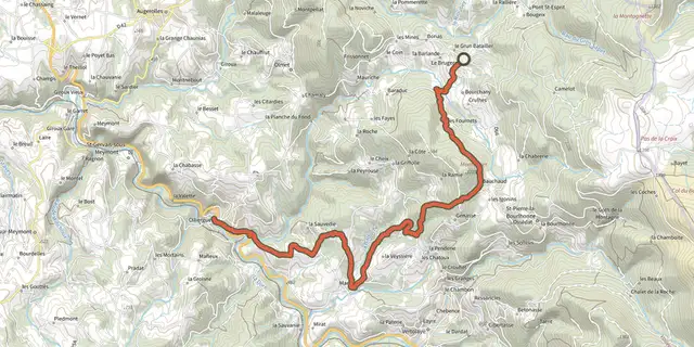
 Plan IGN © IGN 2026Olliergues - Le BrugeronAuvergne, Le Brugeron (63) · Point to point
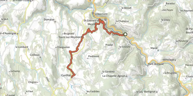 Plan IGN © IGN 2026Olliergues / CunlhatAuvergne, Olliergues (63) · Point to point
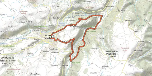 Plan IGN © IGN 2026OurcièreAuvergne, Besse-et-Saint-Anastaise (63) · Loop
 Plan IGN © IGN 2026 · track © OpenStreetMapParcours N°11 | Lacs du ChardonnetAuvergne-Rhône-Alpes, Tignes (73) · Point to point
 Plan IGN © IGN 2026 · track © OpenStreetMapPas de l'AiguilleVercors, Chichilianne (38) · Loop
 Plan IGN © IGN 2026 · track © OpenStreetMapPetit Balcon SudChamonix-Mont-Blanc, Chamonix-Mont-Blanc (74) · Point to point
 Plan IGN © IGN 2026Peyre-MayouAuvergne, Saint-Pierre-la-Bourlhonne (63) · Loop
 Plan IGN © IGN 2026Pierre PamoleAuvergne, Vollore-Montagne (63) · Loop
 Plan IGN © IGN 2026 · track © OpenStreetMapPilat Nº2: Bourg-Argental - Le Grand BoisAuvergne-Rhône-Alpes, Bourg-Argental (42) · Loop
 Plan IGN © IGN 2026 · track © OpenStreetMapPlaine de DranAnnecy and its lake, Fillière (74) · Loop
 Plan IGN © IGN 2026Plateau de la Chavade et la Roche NitéAuvergne, Valbeleix (63) · Loop
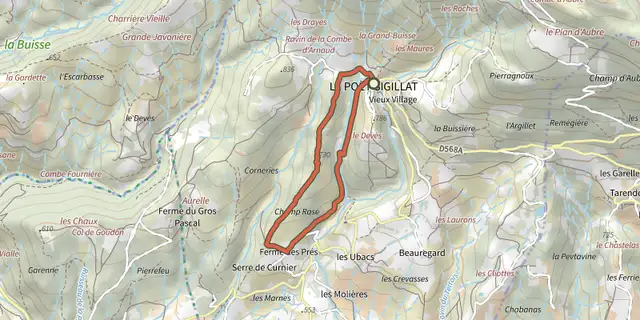 Plan IGN © IGN 2026Pause TrailAuvergne-Rhône-Alpes, Le Poët-Sigillat (26) · LoopOfficial rating by Parcs naturels régionaux de Provence-Alpes-Côte d'Azur
 Plan IGN © IGN 2026 · track © OpenStreetMapPointe de Pelluaz par Chalets d'OcheAuvergne-Rhône-Alpes, Bernex (74) · Loop
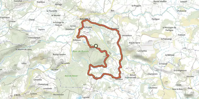 Plan IGN © IGN 2026PonchetAuvergne, Bagnols (63) · Loop
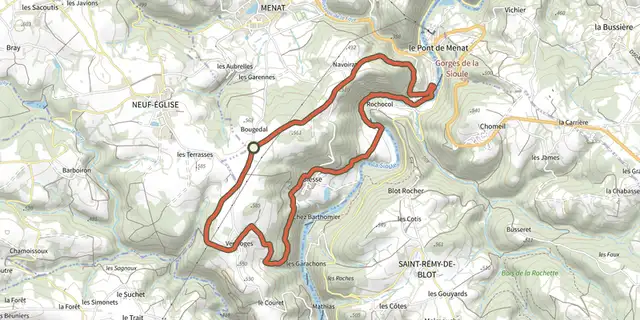 Plan IGN © IGN 2026Pont de MenatAuvergne, Menat (63) · Loop
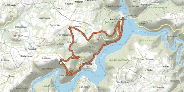 Plan IGN © IGN 2026Pont du BouchetAuvergne, Miremont (63) · Loop
 Plan IGN © IGN 2026Projet boucle Pédestre NordAuvergne-Rhône-Alpes, Vaulx (74) · Point to point

 Plan IGN © IGN 2026Projet sentier VTT rougeAuvergne-Rhône-Alpes, Rumilly (74) · Point to point
 Plan IGN © IGN 2026Puy de Combegrasse et narse d'EspinasseAuvergne, Saulzet-le-Froid (63) · Loop
 Plan IGN © IGN 2026RandolAuvergne, Saint-Saturnin (63) · Loop
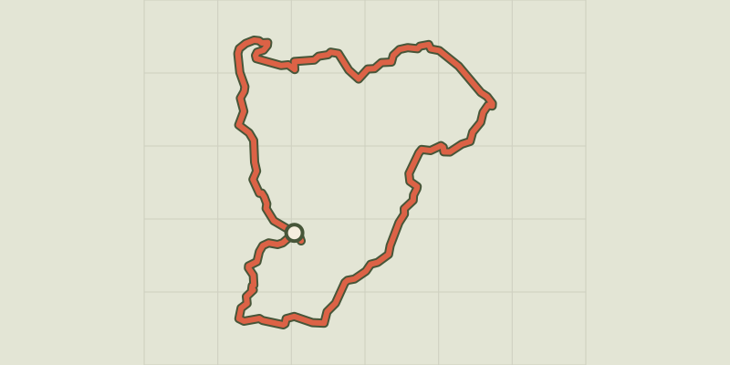 Plan IGN © IGN 2026 · track © OpenStreetMapRandonnée des 4 MontagnesAuvergne-Rhône-Alpes, Cenves (69) · Loop
 Plan IGN © IGN 2026RedonAuvergne, Ceyrat (63) · Loop
 Plan IGN © IGN 2026Lavey Refuge, Muande ValleyÉcrins, Saint-Christophe-en-Oisans (38) · LoopOfficial rating by Parc national des Écrins
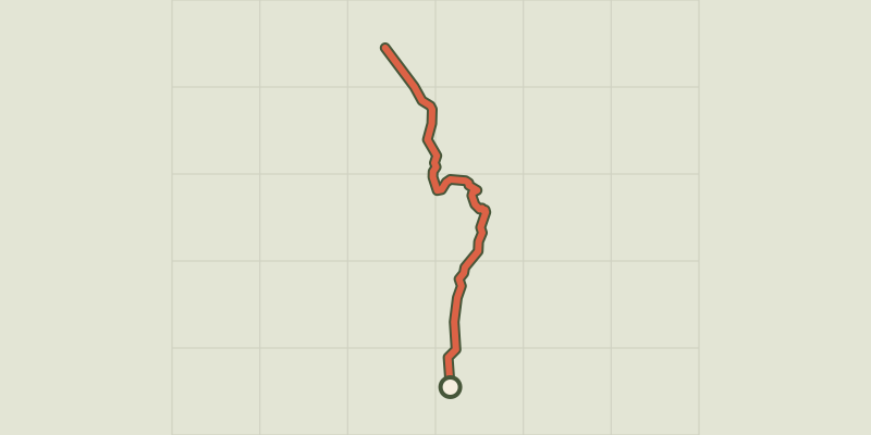 Plan IGN © IGN 2026Refuge et lac de la VogealleAuvergne-Rhône-Alpes, Sixt-Fer-à-Cheval (74) · Point to point