
GPX tracks in Auvergne-Rhône-Alpes (page 13)
669 GPX tracks in Auvergne-Rhône-Alpes, with distance, elevation gain and time for each track. Filter by department, sport, distance, elevation gain and time.
All GPX tracks in Auvergne-Rhône-Alpes


 Plan IGN © IGN 2026Le barrage du ChalasAuvergne, Arlanc (63) · Loop
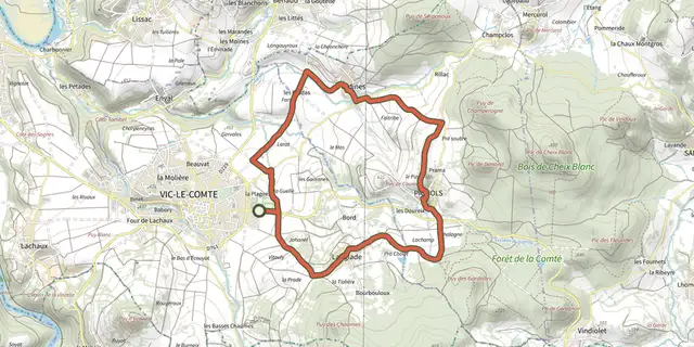 Plan IGN © IGN 2026Le Bassin de VIc-le-ComteAuvergne, Vic-le-Comte (63) · Loop
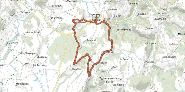 Plan IGN © IGN 2026Le Bois de BordAuvergne, Sugères (63) · Loop
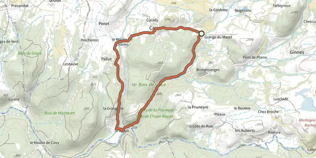 Plan IGN © IGN 2026Le Bois de CauxAuvergne, Saint-Donat (63) · Loop
 Plan IGN © IGN 2026Le Bois de la BarreAuvergne, Anzat-le-Luguet (63) · Loop
 Plan IGN © IGN 2026Le Bois de la GardeAuvergne, Pionsat (63) · Loop
 Plan IGN © IGN 2026Le bois de la MasseAuvergne, Chastreix (63) · Loop
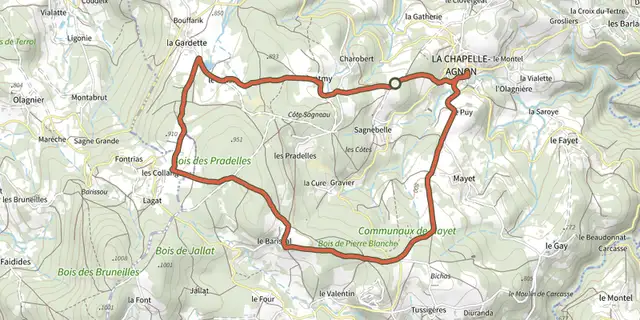 Plan IGN © IGN 2026Le Bois de Pierre-BlancheAuvergne, La Chapelle-Agnon (63) · Loop
 Plan IGN © IGN 2026Le bois de PlayAuvergne, Espinchal (63) · Loop
 Plan IGN © IGN 2026Le Bois de RochemaveAuvergne, Cros (63) · Loop
 Plan IGN © IGN 2026Le bois des BourellesAuvergne, Orcival (63) · Loop
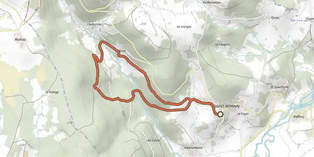 Plan IGN © IGN 2026Le bonheur est dans le boisAuvergne, Saint-Romain (63) · Loop
 Plan IGN © IGN 2026Le Brugeron - Aubusson-d'AuvergneAuvergne, Le Brugeron (63) · Point to point
 Plan IGN © IGN 2026Le Brugeron / Chalet-de-la-RocheAuvergne, Le Brugeron (63) · Point to point
 Plan IGN © IGN 2026Le BurandouAuvergne, La Tour-d'Auvergne (63) · Loop
 Plan IGN © IGN 2026 · track © OpenStreetMapLe Capucin et le Puy de CliergueAuvergne, Mont-Dore (63) · Loop
 Plan IGN © IGN 2026Le Château de la FayeAuvergne, Olmet (63) · Loop
 Plan IGN © IGN 2026Le Château de la FayetteAuvergne, Aix-la-Fayette (63) · Loop
 Plan IGN © IGN 2026Le Château de LibertyAuvergne, Condat-lès-Montboissier (63) · Loop
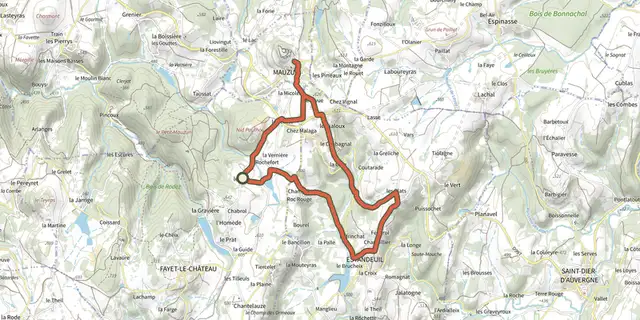 Plan IGN © IGN 2026Le Chateau de MauzunAuvergne, Fayet-le-Château (63) · Loop
 Plan IGN © IGN 2026Le Château de MonsAuvergne, Arlanc (63) · Loop
 Plan IGN © IGN 2026Le Chateau de TournoelAuvergne, Volvic (63) · Loop
 Plan IGN © IGN 2026Le ChâtelleretÉcrins, Saint-Christophe-en-Oisans (38) · Out and backOfficial rating by Parc national des Écrins
 Plan IGN © IGN 2026Le CheixAuvergne, Saint-Diéry (63) · Loop