
GPX tracks in the Vosges (page 17)
695 GPX tracks in the Vosges, with distance, elevation gain and time for each track. Filter by department, sport, distance, elevation gain and time.
All GPX tracks in the Vosges

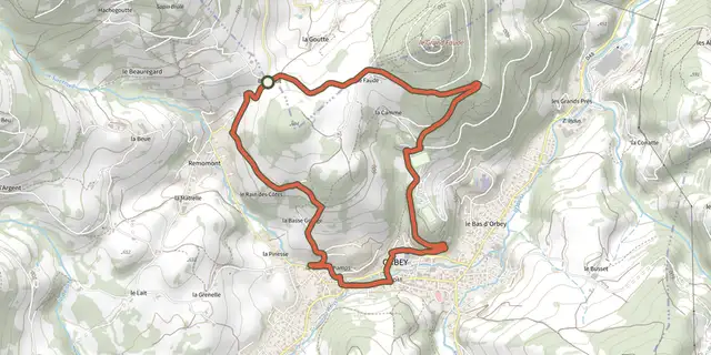
 Plan IGN © IGN 2026 · track © OpenStreetMapFaudéVosges, Orbey (68) · Loop
 Plan IGN © IGN 2026 · track © OpenStreetMapGrand Circuit autour de Wingen-sur-ModerVosges, Wingen-sur-Moder (67) · Loop
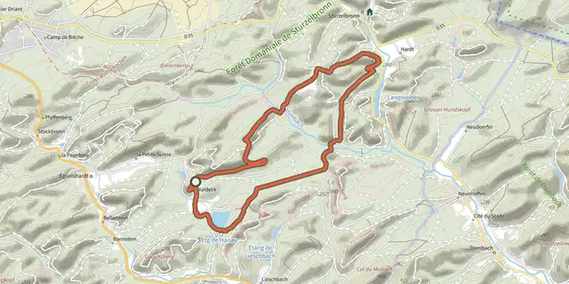 Plan IGN © IGN 2026 · track © OpenStreetMapGrand circuit de l'étang de HanauVosges, Éguelshardt (57) · Loop
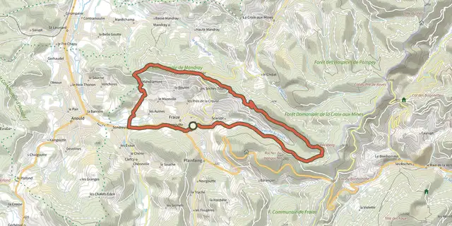 Plan IGN © IGN 2026 · track © OpenStreetMapGrand tour de FraizeVosges, Fraize (88) · Loop
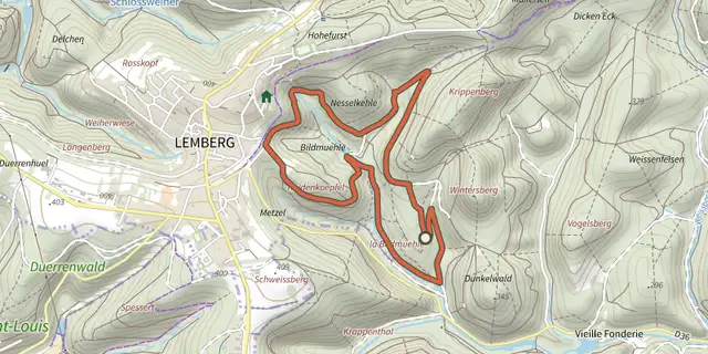 Plan IGN © IGN 2026 · track © OpenStreetMapGrand Tour de la BildmuehleVosges, Mouterhouse (57) · Loop
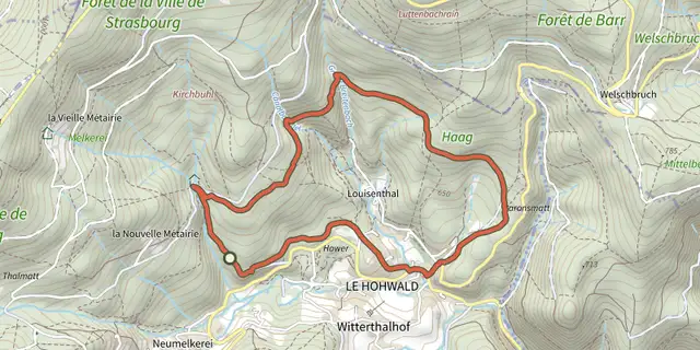 Plan IGN © IGN 2026 · track © OpenStreetMapGrande boucleVosges, Le Hohwald (67) · Loop

 Plan IGN © IGN 2026 · track © OpenStreetMapGrande RocheVosges, Cornimont (88) · Loop
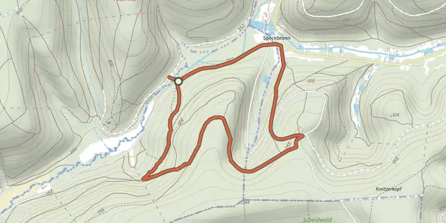 Plan IGN © IGN 2026 · track © OpenStreetMapGreen dotVosges, Ratzwiller (67) · Loop
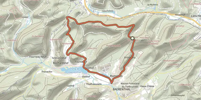 Plan IGN © IGN 2026 · track © OpenStreetMapGreen ringVosges, Baerenthal (57) · Loop
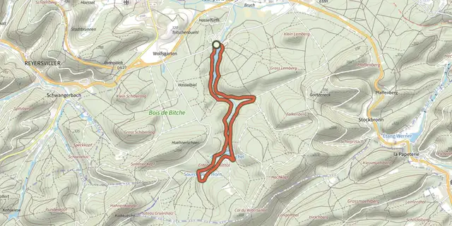 Plan IGN © IGN 2026 · track © OpenStreetMapGreen ringVosges, Bitche (57) · Loop
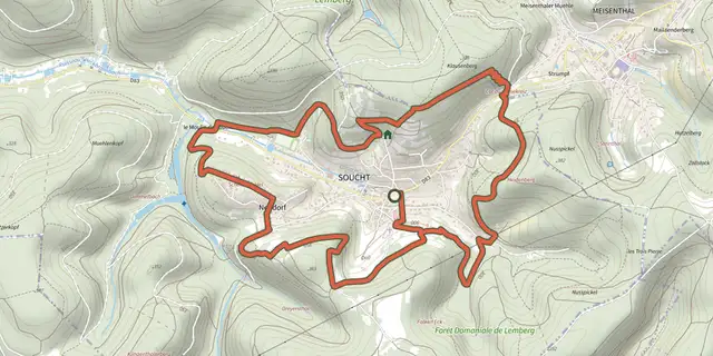 Plan IGN © IGN 2026 · track © OpenStreetMapGreen ringVosges, Soucht (57) · Loop
 Plan IGN © IGN 2026 · track © OpenStreetMapHaute Bruche - Chaume FrancisVosges, La Bresse (88) · Loop
 Plan IGN © IGN 2026 · track © OpenStreetMapHirschenbachVosges, Saint-Amarin (68) · Loop
 Plan IGN © IGN 2026 · track © OpenStreetMapKarsprung versant sudVosges, Willer-sur-Thur (68) · Loop
 Plan IGN © IGN 2026 · track © OpenStreetMapL'A Vall'ToutVosges, Laveline-du-Houx (88) · Loop
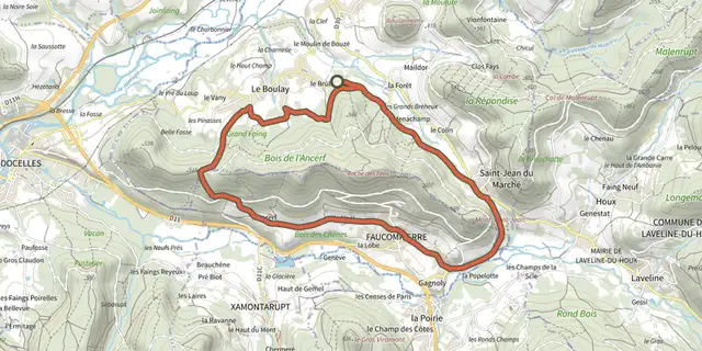 Plan IGN © IGN 2026 · track © OpenStreetMapL'AncerfVosges, La Neuveville-devant-Lépanges (88) · Loop
 Plan IGN © IGN 2026 · track © OpenStreetMapL'EnversVosges, Saulxures-sur-Moselotte (88) · Loop
 Plan IGN © IGN 2026 · track © OpenStreetMapL'étang du VillerainVosges, Girmont-Val-d'Ajol (88) · Loop
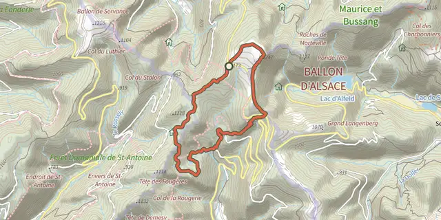 Plan IGN © IGN 2026 · track © OpenStreetMapLa balade des points de vueVosges, Saint-Maurice-sur-Moselle (88) · Loop
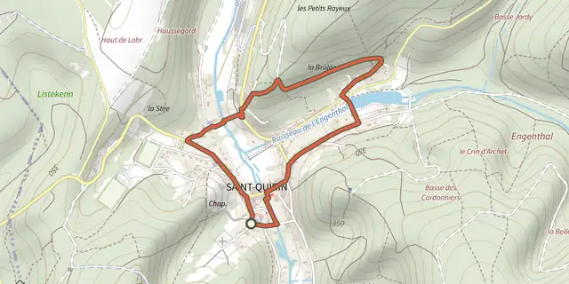 Plan IGN © IGN 2026 · track © OpenStreetMapLa Balade IrisVosges, Saint-Quirin (57) · Loop
 Plan IGN © IGN 2026 · track © OpenStreetMapLa Baraque carrée - le Chemin des BornesVosges, Saint-Quirin (57) · Loop
 Plan IGN © IGN 2026 · track © OpenStreetMapLa Belle RocheVosges, Saint-Quirin (57) · Loop
 Plan IGN © IGN 2026 · track © OpenStreetMapLa Beuille, sur la ligne de partage des eauxVosges, Girmont-Val-d'Ajol (88) · Loop
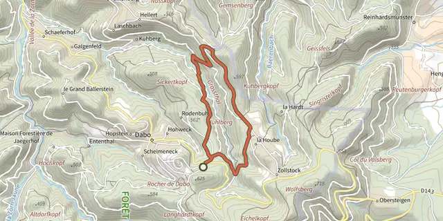 Plan IGN © IGN 2026 · track © OpenStreetMapLa borne Saint-MartinVosges, Dabo (57) · Loop