
Hiking GPX tracks in the Vosges (page 17)
548 GPX tracks in the Vosges, with distance, elevation gain and time for each track. Filter by department, sport, distance, elevation gain and time.
All GPX tracks in the Vosges


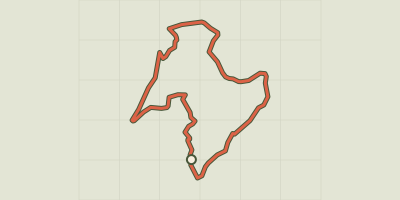
 Plan IGN © IGN 2026 · track © OpenStreetMapLe RosièraVosges, La Rosière (70) · Loop
 Plan IGN © IGN 2026 · track © OpenStreetMapLe sentier de la VerrerieVosges, Servance-Miellin (70) · Loop
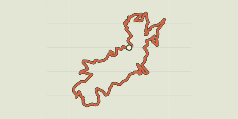 Plan IGN © IGN 2026 · track © OpenStreetMapLe sentier des 4 collinesVosges, Moosch (68) · Loop
 Plan IGN © IGN 2026 · track © OpenStreetMapLe Sentier des Demoiselles de PierreVosges, Mollkirch (67) · Point to point
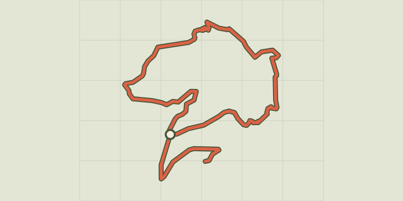 Plan IGN © IGN 2026 · track © OpenStreetMapLe sentier des genêtsVosges, Malmerspach (68) · Loop
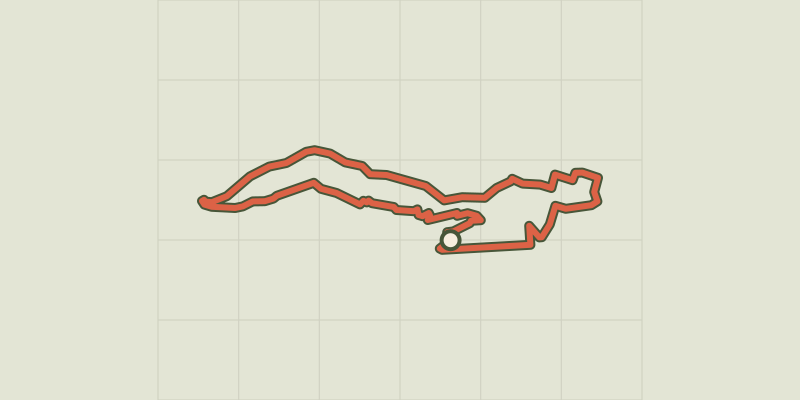 Plan IGN © IGN 2026 · track © OpenStreetMapLe sentier des poètes alsaciens de Munster Anneau jauneVosges, Munster (68) · Loop
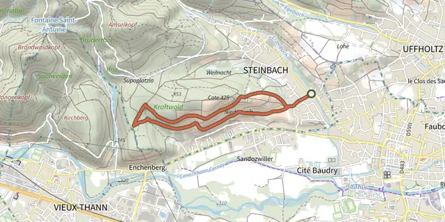 Plan IGN © IGN 2026 · track © OpenStreetMapLe sentier viticole "Cote 425"Vosges, Steinbach (68) · Point to point
 Plan IGN © IGN 2026 · track © OpenStreetMapLe sentier viticole coteaux du Vieil-ArmandVosges, Uffholtz (68) · Point to point
 Plan IGN © IGN 2026 · track © OpenStreetMapLe SickertkopfVosges, Dabo (57) · Loop
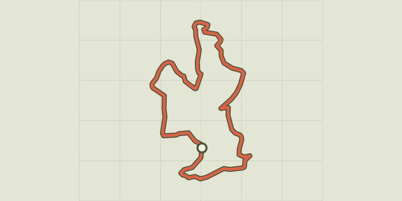 Plan IGN © IGN 2026 · track © OpenStreetMapLe Tour de BelfahyVosges, Belfahy (70) · Loop
 Plan IGN © IGN 2026 · track © OpenStreetMapLe tour de StorckensohnVosges, Storckensohn (68) · Loop
 Plan IGN © IGN 2026 · track © OpenStreetMapLe Vignoble du BildstoeckleVosges, Obermorschwihr (68) · Loop
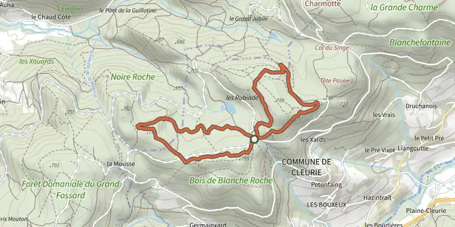 Plan IGN © IGN 2026 · track © OpenStreetMapLes Abris sous rochesVosges, Cleurie (88) · Loop
 Plan IGN © IGN 2026 · track © OpenStreetMapLes BrimbellesVosges, Belfahy (70) · Loop
 Plan IGN © IGN 2026 · track © OpenStreetMapLes carrières de BuhlVosges, Buhl (68) · Point to point
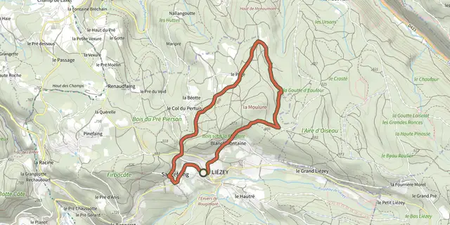 Plan IGN © IGN 2026 · track © OpenStreetMapLes Croix le chemin de LiézeyVosges, Liézey (88) · Loop
 Plan IGN © IGN 2026 · track © OpenStreetMapLes ÉpoissetsVosges, Écromagny (70) · Loop
 Plan IGN © IGN 2026 · track © OpenStreetMapLes ÉtangsVosges, Beulotte-Saint-Laurent (70) · Loop
 Plan IGN © IGN 2026 · track © OpenStreetMapLes Étangs du GirmontVosges, Girmont-Val-d'Ajol (88) · Loop
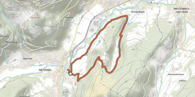 Plan IGN © IGN 2026 · track © OpenStreetMapLes GenetsVosges, Metzeral (68) · Loop
 Plan IGN © IGN 2026 · track © OpenStreetMapLes JonquillesVosges, Metzeral (68) · Loop
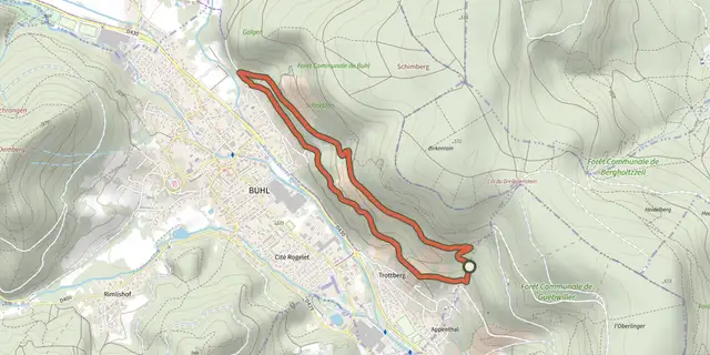 Plan IGN © IGN 2026 · track © OpenStreetMapLes Menhirs de l'AppenthalVosges, Guebwiller (68) · Loop
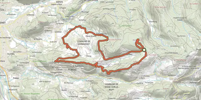 Plan IGN © IGN 2026 · track © OpenStreetMapLes PlateauxVosges, Gerbamont (88) · Loop
 Plan IGN © IGN 2026 · track © OpenStreetMapLes PrimevèresVosges, Metzeral (68) · Loop