
Hiking GPX tracks in the Vosges (page 11)
483 GPX tracks in the Vosges, with distance, elevation gain and time for each track. Filter by department, sport, distance, elevation gain and time.
All GPX tracks in the Vosges


 Plan IGN © IGN 2026 · track © OpenStreetMapCircuit Le LinquenyVosges, Ramonchamp (88) · Loop
 Plan IGN © IGN 2026 · track © OpenStreetMapCircuit Le SchlueckVosges, Aubure (68) · Loop
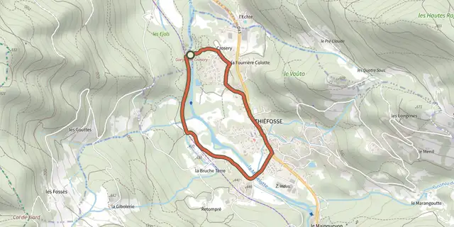 Plan IGN © IGN 2026 · track © OpenStreetMapCircuit Les Gorges de CroseryVosges, Thiéfosse (88) · Loop
 Plan IGN © IGN 2026 · track © OpenStreetMapCircuit Les PlacesVosges, Ventron (88) · Loop
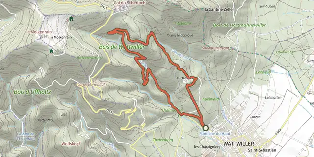 Plan IGN © IGN 2026 · track © OpenStreetMapCircuit Mémoire de la guerre 14-18Vosges, Wattwiller (68) · Loop
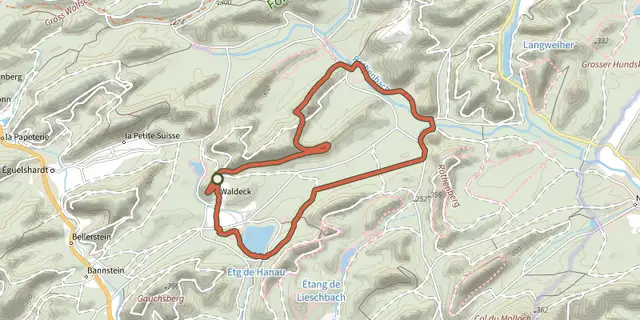 Plan IGN © IGN 2026 · track © OpenStreetMapCircuit moyen de l'étang de HanauVosges, Éguelshardt (57) · Loop
 Plan IGN © IGN 2026 · track © OpenStreetMapCircuit Musée du TextileVosges, Ventron (88) · Loop
 Plan IGN © IGN 2026 · track © OpenStreetMapCircuit NarrensteinVosges, Munster (68) · Loop
 Plan IGN © IGN 2026 · track © OpenStreetMapCircuit Niedermorschwihr - KatzenthalVosges, Niedermorschwihr (68) · Loop
 Plan IGN © IGN 2026 · track © OpenStreetMapCircuit Obschel - Croix de WihrVosges, Turckheim (68) · Loop
 Plan IGN © IGN 2026 · track © OpenStreetMapCircuit panoramiqueVosges, Ventron (88) · Loop
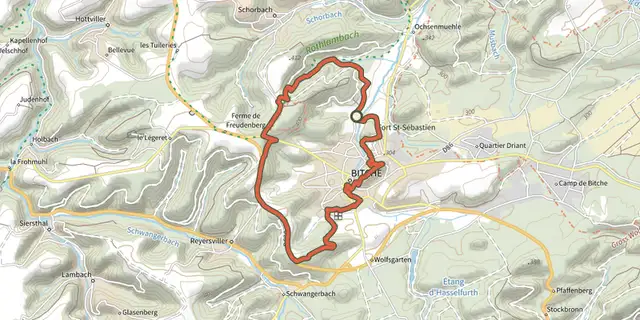 Plan IGN © IGN 2026 · track © OpenStreetMapCircuit panoramique autour de BitcheVosges, Bitche (57) · Loop
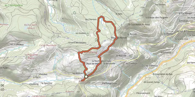 Plan IGN © IGN 2026 · track © OpenStreetMapCircuit panoramique du RondfaingVosges, Cornimont (88) · Loop
 Plan IGN © IGN 2026 · track © OpenStreetMapCircuit Panoramique SittlerVosges, Soultz-Haut-Rhin (68) · Loop
 Plan IGN © IGN 2026 · track © OpenStreetMapCircuit Plan DieboldVosges, Thann (68) · Loop
 Plan IGN © IGN 2026 · track © OpenStreetMapCircuit RiegelbourgVosges, Thann (68) · Loop
 Plan IGN © IGN 2026 · track © OpenStreetMapCircuit RochelotteVosges, Bussang (88) · Loop
 Plan IGN © IGN 2026 · track © OpenStreetMapCircuit rouge du FrenzVosges, Kruth (68) · Loop
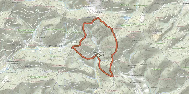 Plan IGN © IGN 2026 · track © OpenStreetMapCircuit sur les Hauts de LamadeleineVosges, Lamadeleine-Val-des-Anges (90) · Loop
 Plan IGN © IGN 2026 · track © OpenStreetMapCircuit touristique de LeimbachVosges, Leimbach (68) · Loop
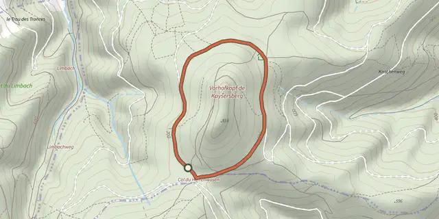 Plan IGN © IGN 2026 · track © OpenStreetMapCircuit VorhofkopfVosges, Kaysersberg Vignoble (68) · Loop
 Plan IGN © IGN 2026 · track © OpenStreetMapCircuit WineckwaldVosges, Ammerschwihr (68) · Loop
 Plan IGN © IGN 2026 · track © OpenStreetMapCircuit Wingen - ZittersheimVosges, Wingen-sur-Moder (67) · Loop
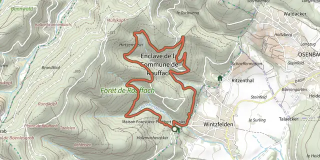 Plan IGN © IGN 2026 · track © OpenStreetMapCircuit WintzfeldenVosges, Rouffach (68) · Loop