
The banks of the lake

Key facts
- Distance
- 17.2 km
- Ascent
- +445 m
- Descent
- −346 m
- Estimated time
- 2 hr 05
- trail running
- Difficulty
- Moderate
- official rating
- Route
- Loop
- back to the start
Profile and gradient
- under 10%
- 10 to 20%
- over 20%
Gradient along the route: 16.8 km under 10% and 0.4 km at 10 to 20%. Elevation from 779 m to 942 m over 17.2 km.
Surface and path types
- Surface
- Paved 41%
- Dirt & gravel 58%
- Unknown 1%
- Path types
- Trail 37%
- Track 22%
- Road 40%
- Off-network 1%
Description
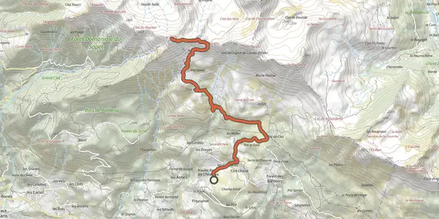
This easy route winds its way through Mediterranean flora along the paths that border the Lac de Serre-Ponçon. “The sections along the lakeshore really give you the impression of running beside the sea, with the smell of the pine trees, the sound of the waves and the bright sunshine, but with the added bonus of mountain views". - From the forecourt of the Tourist Office, head opposite onto Route du Fein. Pass under the bridge over the main road, then turn left until you cross the D3. Cross it and continue to the right along the pavement. - Leave the main road and turn left onto the secondary road. Stay on this route over the railway line and pass the hamlet of Pré Long. At the intersection, take the track on the left. At the next crossroads, continue uphill to the right to reach "Champ de Gorny". - Take a left fork onto the path, passing 2 chicanes, then take a direct right uphill to join a track. Continue left up the hill. At the crow's-foot intersection, leave the main track and continue right on the flat. Pass under the power lines twice, then leave the main path and turn left onto a downhill path. - Continue left along the track until you reach some fields. At the signpost, continue straight ahead through marl until you reach Les Trémouilles. Bear left onto the lakeside path past Pra de l'Ase. - At the crossroads, continue left on the flat and stay on it until you reach the "serre de l'aigle" post. From here, continue straight ahead on the path until you reach the hamlet of Chanteloube. Cross it downhill, then turn right in front of the chapel to join an uphill track. Stay on this path until you reach the hamlet of Pré Long. - From there, the return journey takes the same route.
Difficulty
Official rating: moderate, by Parc national des Écrins.
Getting there
Start: Office de Tourisme, Chorges, Chorges (05).
Sources
- Track: Parc national des Écrins, Licence Ouverte 2.0, Licence Ouverte 2.0 (Etalab) (destination.ecrins-parcnational.fr/trek/995640-Les-rives-du-lac). Time estimated by GPX Path with the Mac app rule, breaks not included.
- Surface and path types: © OpenStreetMap contributors, ODbL, extract of 28 October 2026, matched to the track every 10 m (openstreetmap.org/copyright)
- Official elevation gain: 445 m, Parc national des Écrins
Nearby tracks

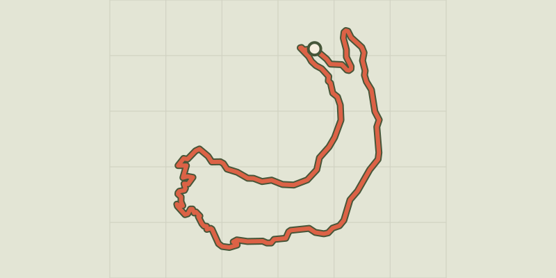
 Plan IGN © IGN 2026Le petit boisProvence-Alpes-Côte d'Azur, Chorges (05) · LoopOfficial rating by Parc national des Écrins
 Plan IGN © IGN 2026Le Piolit vertical kilometreProvence-Alpes-Côte d'Azur, Chorges (05) · Out and backOfficial rating by Parc national des Écrins
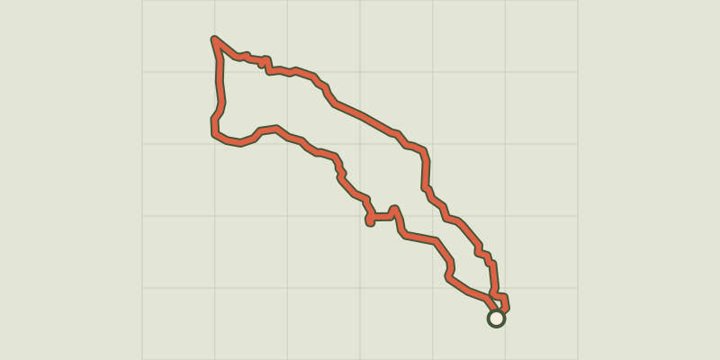
 Plan IGN © IGN 2026Saint-Apollinaire lakeÉcrins, Réallon (05) · LoopOfficial rating by Parc national des Écrins
 Plan IGN © IGN 2026Aiguilles de ChabrièresÉcrins, Réallon (05) · LoopOfficial rating by Parc national des Écrins
 Plan IGN © IGN 2026The hamlet of VaucluseÉcrins, Réallon (05) · LoopOfficial rating by Parc national des Écrins
 Plan IGN © IGN 2026Pierre-ArnouxÉcrins, Savines-le-Lac (05) · LoopOfficial rating by Parc national des Écrins