
Petit et Gros Calans

Key facts
- Distance
- 13.3 km
- Ascent
- +307 m
- Descent
- −269 m
- Estimated time
- 3 hr 30
- hiking
- Difficulty
- Moderate
- official rating
- Route
- Loop
- back to the start
Profile and gradient
- under 10%
- 10 to 20%
- over 20%
Gradient along the route: 12.6 km under 10% and 0.7 km at 10 to 20%. Elevation from 99 m to 299 m over 13.3 km.
Surface and path types
- Surface
- Paved 20%
- Dirt & gravel 80%
- Path types
- Trail 10%
- Track 73%
- Road 17%
Description
Climb the heights of Eygalières, to appreciate the beauty ofthe Calans of the Alpilles massif ! The Calans, emblematic of the northern facade of the Alpilles, offer you their imposing reliefs. After passing the Badon Arboretum, be surprised by a geology and breathtaking views. From the parking, follow the D24b towards the city center. At the crossroads, turn right. Then leave the town hall on the left. 50 m further, leave the Monument to the dead on the left and continue along the road. 1- Turn left on the path Ludovic Souvestre, and take the first right. Cross the locality of the 4 vents and continue on the path. Once at the Badon Arboretum, go around it on the left and follow the trail. 200 m after the barrier, take the small rocky path on the left. 2- At the directional sign "Balade du Gros Calan", turn left and follow the massif on the stony path. In the bend, continue on the path, leaving the small path on the left. 3- Go past the green tank in the hairpin bend, then turn right immediately onto the gently sloping trail at the concrete tank. Follow it to the junction with the D25. 4- Cross the departmental and take the path on the right in the pine forest. Then walk along the road for 350 meters (Caution, traffic!). Leave the road after the turn to take the wide path that goes on the right. Continue for 200 meters until you reach a fork, then go right up the path that continues towards the hill. Follow this zig-zag path for 1.5 km. 5- Engage in the small path that sinks to the right of the path. The latter leads to a new trail. Leave the different paths that leave from both sides to join the D25. Cross it again. Then climb the main path after crossing the barrier. 6- At the height of the tank, continue straight on the track which descends gently. After the bend, take the left path at the next junction. Follow this path along the Petit Calan then continue in the forest. 7- Cross the barrier and take the small path on the right that runs along the road for about 700 m. Turn right at the crossroads, and continue on the path. Go past the well and continue on the main road to the D24b. 8- Cross the departmental road and continue on Mario Prassinos road. Go behind the cemetery and enter Eygalières. At the top of the small hill, turn right. Possibility to fork then directly to the parking lot or to walk in the village.
Difficulty
Official rating: moderate, by Parcs naturels régionaux de Provence-Alpes-Côte d'Azur.
Before you go
- For your safety, and for the preservation of forest areas, access to natural areas is regulated from June to September. Inquire during the summer period on 08 11 20 13 13 (price of a local call) or on www.bouches-du-rhone.pref.gouv.fr. Download the free MYPROVENCE ENVIE DE BALADE app (available on Appstore and Android Market).
Getting there
Start: Parking du stade, Eygalières, Eygalières (13).
Sources
- Track: Parcs naturels régionaux de Provence-Alpes-Côte d'Azur (Chemins des Parcs), Licence Ouverte 2.0, Licence Ouverte 2.0 (Etalab) (www.cheminsdesparcs.fr/trek/61068-EYGALIERES---Petit-et-Gros-Calans). Time estimated by GPX Path with the Mac app rule, breaks not included.
- Surface and path types: © OpenStreetMap contributors, ODbL, extract of 28 October 2026, matched to the track every 10 m (openstreetmap.org/copyright)
- Official elevation gain: 307 m, Parcs naturels régionaux de Provence-Alpes-Côte d'Azur
Nearby tracks
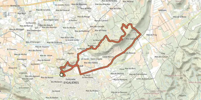
 Plan IGN © IGN 2026Eygalieres - Du Contras à la chapelle Saint-SixteProvence-Alpes-Côte d'Azur, Eygalières (13) · LoopOfficial rating by Parcs naturels régionaux de Provence-Alpes-Côte d'Azur
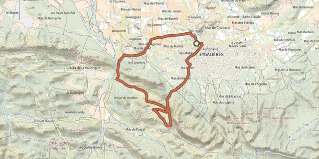 Plan IGN © IGN 2026Stroll of the Petit CalanProvence-Alpes-Côte d'Azur, Eygalières (13) · LoopOfficial rating by Parcs naturels régionaux de Provence-Alpes-Côte d'Azur
 Plan IGN © IGN 2026A Mediterranean bird festivalProvence-Alpes-Côte d'Azur, Aureille (13) · Out and backOfficial rating by Parcs naturels régionaux de Provence-Alpes-Côte d'Azur
 Plan IGN © IGN 2026La VallongueProvence-Alpes-Côte d'Azur, Aureille (13) · LoopOfficial rating by Parcs naturels régionaux de Provence-Alpes-Côte d'Azur
 Plan IGN © IGN 2026Orgon - La boucle de ValditionProvence-Alpes-Côte d'Azur, Orgon (13) · LoopOfficial rating by Parcs naturels régionaux de Provence-Alpes-Côte d'Azur
 Plan IGN © IGN 2026La Pierre trailProvence-Alpes-Côte d'Azur, Orgon (13) · LoopOfficial rating by Parcs naturels régionaux de Provence-Alpes-Côte d'Azur