
La Vallongue

Key facts
- Distance
- 11.0 km
- Ascent
- +323 m
- Descent
- −282 m
- Estimated time
- 3 hr 05
- hiking
- Difficulty
- Moderate
- official rating
- Route
- Loop
- back to the start
Profile and gradient
- under 10%
- 10 to 20%
- over 20%
Gradient along the route: 9.9 km under 10% and 1.1 km at 10 to 20%. Elevation from 128 m to 318 m over 11.0 km.
Surface and path types
- Surface
- Paved 19%
- Dirt & gravel 81%
- Path types
- Trail 24%
- Track 57%
- Road 19%
Description
Climb the foothills of the Alpilles, to admire Aureille and admire landscapes extending as far as the eye can see! Be carefull, bull grazing period, temporarily closed access between february and may. "This walk takes you on the heights of the Alpilles, with breathtaking views. Then come to you the small typical Provencal village that is Aureille, the Crau lowland, or the Opies summit, the highest point of the Alpilles. We never tire of walking in this scrubland, between scents of thyme and rosemary, taking advantage of the panorama. " Sarah Boggio-Pola, Ambassador of the Alpilles RNP. From the parking, return on the D25a. Take it on the right towards Eygalières and turn left on the Estandedou road. At the crow's feet, stay on the right, Chemin Saint-Jean, and continue for 400 m. 1- Go right up the path of the water tower. Exceed the tank and continue to a tank. Then take the path on the right for 900 m 2- Facing a fork, climb the left path. At the next intersection, take the right one. Continue on this road for 2 km, leaving on your right the lookout tower. 3- At the intersection with the GR®6, turn left, then 30 m further, turn to the right. Follow this road for 500 m, then fork on the trail to the left. 4- For the next two intersections, take the trail on the left. Carry on on this trail for 2 km. At the end of the path, facing a field of olive trees, take the path on the left. 5- At the junction, follow the path on the left, guided by the sign "Aureille 1,5 km". Continue on the same path up to the village and the starting point of the hike.
Difficulty
Official rating: moderate, by Parcs naturels régionaux de Provence-Alpes-Côte d'Azur.
Before you go
- Be carreful, access temporarily closed between February and May, bull grazing period. For your safety, and for the preservation of forest areas, access to natural areas is regulated from June to September. Inquire during the summer period on 08 11 20 13 13 (price of a local call) or on http://bpatp.paca-ate.fr/
Getting there
Start: Parking du stade, Aureille, Aureille (13).
Sources
- Track: Parcs naturels régionaux de Provence-Alpes-Côte d'Azur (Chemins des Parcs), Licence Ouverte 2.0, Licence Ouverte 2.0 (Etalab) (www.cheminsdesparcs.fr/trek/62168-AUREILLE---La-Vallongue). Time estimated by GPX Path with the Mac app rule, breaks not included.
- Surface and path types: © OpenStreetMap contributors, ODbL, extract of 28 October 2026, matched to the track every 10 m (openstreetmap.org/copyright)
- Official elevation gain: 323 m, Parcs naturels régionaux de Provence-Alpes-Côte d'Azur
Nearby tracks

 Plan IGN © IGN 2026A Mediterranean bird festivalProvence-Alpes-Côte d'Azur, Aureille (13) · Out and backOfficial rating by Parcs naturels régionaux de Provence-Alpes-Côte d'Azur
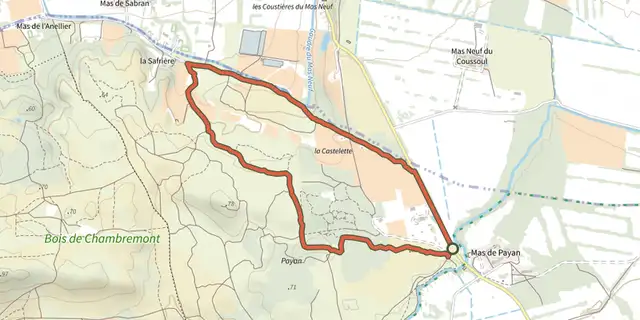 Plan IGN © IGN 2026Saint Martin de Crau - Circuit of GarrigueProvence-Alpes-Côte d'Azur, Saint-Martin-de-Crau (13) · LoopOfficial rating by Parcs naturels régionaux de Provence-Alpes-Côte d'Azur
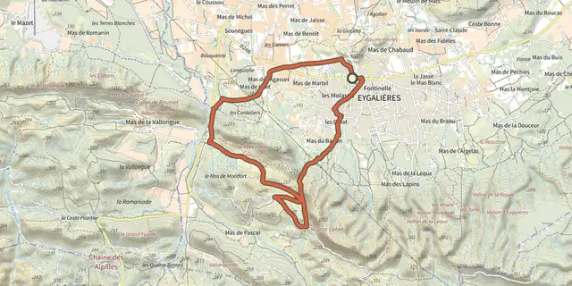 Plan IGN © IGN 2026Stroll of the Petit CalanProvence-Alpes-Côte d'Azur, Eygalières (13) · LoopOfficial rating by Parcs naturels régionaux de Provence-Alpes-Côte d'Azur
 Plan IGN © IGN 2026Vallon des GlaugesProvence-Alpes-Côte d'Azur, Eyguières (13) · LoopOfficial rating by Parcs naturels régionaux de Provence-Alpes-Côte d'Azur
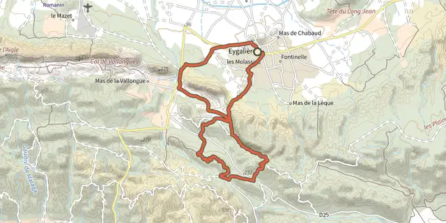 Plan IGN © IGN 2026Petit et Gros CalansProvence-Alpes-Côte d'Azur, Eygalières (13) · LoopOfficial rating by Parcs naturels régionaux de Provence-Alpes-Côte d'Azur
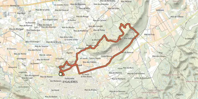 Plan IGN © IGN 2026Eygalieres - Du Contras à la chapelle Saint-SixteProvence-Alpes-Côte d'Azur, Eygalières (13) · LoopOfficial rating by Parcs naturels régionaux de Provence-Alpes-Côte d'Azur