
Mountain of the Audibergue

Key facts
- Distance
- 6.8 km
- Ascent
- +355 m
- Descent
- −345 m
- Estimated time
- 2 hr 15
- hiking
- Difficulty
- Easy
- official rating
- Route
- Loop
- back to the start
Profile and gradient
- under 10%
- 10 to 20%
- over 20%
Gradient along the route: 3.7 km under 10%, 2.4 km at 10 to 20% and 0.7 km over 20%. Elevation from 1,344 m to 1,633 m over 6.8 km.
Surface and path types
- Surface
- Paved 1%
- Dirt & gravel 88%
- Unknown 11%
- Path types
- Trail 57%
- Track 32%
- Road 1%
- Off-network 10%
Description
Southern Bastion of the Pre-Alps, the Montagne de l'Audibergue presents itself as an interminable east-west rampart. "A stunning ski resort with breathtaking panoramas on the Mercantour and the Côte d'Azur, appreciable in all seasons. " says Julien Lageat - Préalpes d'Azur RNP. From the Parc de la Moulière climb up to the end of the chairlift by the green slope of the Marcassin. 1- Bypass a slope on the right and join the orientation table on the nearby ridge. 2- Cross the ridge on the trail (PR marking), to the top of the Audibergue (1,642m) 3- Go north, under the ski lifts to find the beacon 173. 4- Take the trail (PR marking) towards Parc de la Moulière and easily reach the parking lot via the 174 beacon.
Difficulty
Official rating: easy, by Parcs naturels régionaux de Provence-Alpes-Côte d'Azur.
Before you go
- The Moulière chairlift, which is open from May to September, can facilitate climbing.
- After point 3: take your time, stony descent
Getting there
Start: Parc de la Moulière, Caille, Caille (06).
Sources
- Track: Parcs naturels régionaux de Provence-Alpes-Côte d'Azur (Chemins des Parcs), Licence Ouverte 2.0, Licence Ouverte 2.0 (Etalab) (www.cheminsdesparcs.fr/trek/56981-CAILLE---Montagne-de-l-Audibergue). Time estimated by GPX Path with the Mac app rule, breaks not included.
- Surface and path types: © OpenStreetMap contributors, ODbL, extract of 28 October 2026, matched to the track every 10 m (openstreetmap.org/copyright)
- Official elevation gain: 355 m, Parcs naturels régionaux de Provence-Alpes-Côte d'Azur
Nearby tracks

 Plan IGN © IGN 2026 · track © OpenStreetMapMontagne de l'AudibergueProvence-Alpes-Côte d'Azur, Caille (06) · Loop
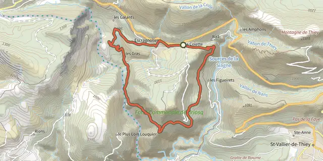 Plan IGN © IGN 2026Escragnolles - Plateau de BriasqProvence-Alpes-Côte d'Azur, Escragnolles (06) · LoopOfficial rating by Parcs naturels régionaux de Provence-Alpes-Côte d'Azur
 Plan IGN © IGN 2026Séranon - Crêtes du BaurouxProvence-Alpes-Côte d'Azur, Séranon (06) · LoopOfficial rating by Parcs naturels régionaux de Provence-Alpes-Côte d'Azur
 Plan IGN © IGN 2026Saint-Vallier-de-Thiey - Arche du PonadieuProvence-Alpes-Côte d'Azur, Saint-Vallier-de-Thiey (06) · LoopOfficial rating by Parcs naturels régionaux de Provence-Alpes-Côte d'Azur
 Plan IGN © IGN 2026Saint-Vallier-de-Thiey - Sentier sonoreProvence-Alpes-Côte d'Azur, Saint-Vallier-de-Thiey (06) · LoopOfficial rating by Parcs naturels régionaux de Provence-Alpes-Côte d'Azur
 Plan IGN © IGN 2026Le chemin de NapoléonVerdon, La Martre (83) · Out and backOfficial rating by Parcs naturels régionaux de Provence-Alpes-Côte d'Azur