
Les Glaisolles

Key facts
- Distance
- 7.8 km
- Ascent
- +396 m
- Descent
- −363 m
- Estimated time
- 2 hr 30
- hiking
- Difficulty
- Easy
- official rating
- Route
- Loop
- back to the start
Profile and gradient
- under 10%
- 10 to 20%
- over 20%
Gradient along the route: 5.1 km under 10% and 2.7 km at 10 to 20%. Elevation from 806 m to 1,127 m over 7.8 km.
Surface and path types
- Surface
- Paved 8%
- Dirt & gravel 83%
- Unknown 9%
- Path types
- Trail 64%
- Track 22%
- Road 8%
- Off-network 6%
Description
A fairly long route, with some tricky sections on wet terrain. Superb panoramic views of the lake and summits Take in the scents of the pine forest overlooking Lake Serre-Ponçon, with panoramic views of the Grand Morgon peak (2324m) and the Dormillouse summit (2505m). Waving between scrubland and black marl, this route offers a few uneven stretches, the perfect excuse to enjoy the surrounding views from the benches strategically placed along the way. - Go along the tennis courts and take a right fork on a stony path that rises into the black marl. Continue on this path for 3km, which offers numerous viewpoints. - After reaching the intersection with the road, turn left, then quickly left where you will find an unsealed path. Continue for over a kilometre before crossing the road again. - Begin the descent on a wide track to the ruins of the old farm of le Villard. Leave the dirt track on the right, just opposite the ruins, and go into the fields alongside a stream, following the yellow markings on the trees. Cross the Glaisolles steam before heading up a path in the black marl to return to the starting point.
Difficulty
Official rating: easy, by Parc national des Écrins.
Getting there
Start: Village Club Les Hyvans, Chorges, Chorges (05).
Sources
- Track: Parc national des Écrins, Licence Ouverte 2.0, Licence Ouverte 2.0 (Etalab) (destination.ecrins-parcnational.fr/trek/996066-Les-Glaisolles). Time estimated by GPX Path with the Mac app rule, breaks not included.
- Surface and path types: © OpenStreetMap contributors, ODbL, extract of 28 October 2026, matched to the track every 10 m (openstreetmap.org/copyright)
- Official elevation gain: 396 m, Parc national des Écrins
Nearby tracks

 Plan IGN © IGN 2026Le Serre du boisProvence-Alpes-Côte d'Azur, Chorges (05) · LoopOfficial rating by Parc national des Écrins
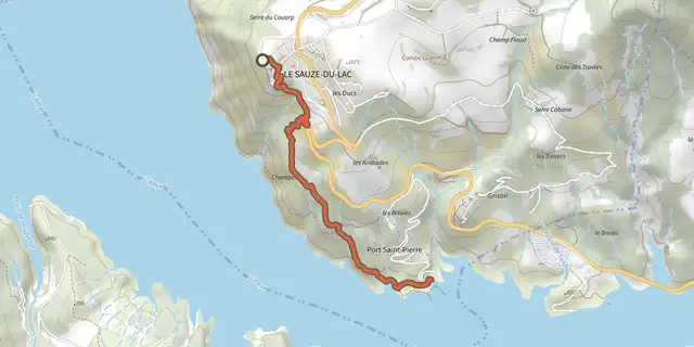 Plan IGN © IGN 2026Port St-PierreProvence-Alpes-Côte d'Azur, Le Sauze-du-Lac (05) · Out and backOfficial rating by Parc national des Écrins
 Plan IGN © IGN 2026Sentier du bord de LacProvence-Alpes-Côte d'Azur, Chorges (05) · Out and backOfficial rating by Parc national des Écrins
 Plan IGN © IGN 2026Sentier des CurattesProvence-Alpes-Côte d'Azur, Chorges (05) · LoopOfficial rating by Parc national des Écrins
 Plan IGN © IGN 2026Clot-ClavaryProvence-Alpes-Côte d'Azur, Chorges (05) · LoopOfficial rating by Parc national des Écrins
 Plan IGN © IGN 2026Bois SeignièresProvence-Alpes-Côte d'Azur, Chorges (05) · LoopOfficial rating by Parc national des Écrins