
Hiking GPX tracks in Provence-Alpes-Côte d'Azur (page 9)
842 GPX tracks in Provence-Alpes-Côte d'Azur, with distance, elevation gain and time for each track. Filter by department, sport, distance, elevation gain and time.
All GPX tracks in Provence-Alpes-Côte d'Azur


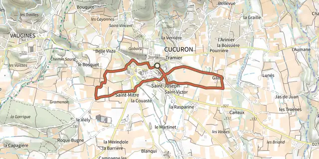
 Plan IGN © IGN 2026Cucuron Wine TrailLuberon, Cucuron (84) · LoopOfficial rating by Parcs naturels régionaux de Provence-Alpes-Côte d'Azur
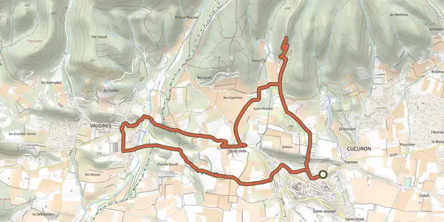 Plan IGN © IGN 2026Cucuron-Vaugines - Chemin de pelerinageLuberon, Cucuron (84) · LoopOfficial rating by Parcs naturels régionaux de Provence-Alpes-Côte d'Azur
 Plan IGN © IGN 2026Cuges-les-Pins - Crête de la Sainte-Baume et Grand VallonProvence-Alpes-Côte d'Azur, Cuges-les-Pins (13) · LoopOfficial rating by Parcs naturels régionaux de Provence-Alpes-Côte d'Azur
 Plan IGN © IGN 2026Cuges-les-Pins - Crête de la Sainte-Baume et Jas de FrédéricProvence-Alpes-Côte d'Azur, Cuges-les-Pins (13) · LoopOfficial rating by Parcs naturels régionaux de Provence-Alpes-Côte d'Azur
 Plan IGN © IGN 2026 · track © OpenStreetMapDe Belcodène au poteau RE 09Provence-Alpes-Côte d'Azur, Belcodène (13) · Point to point
 Plan IGN © IGN 2026From Chabournéou to Vallonpierre on the Minister's footpathÉcrins, La Chapelle-en-Valgaudémar (05) · LoopOfficial rating by Parc national des Écrins
 Plan IGN © IGN 2026From Chorges to Baie-Saint-MichelProvence-Alpes-Côte d'Azur, Chorges (05) · Out and backOfficial rating by Parc national des Écrins
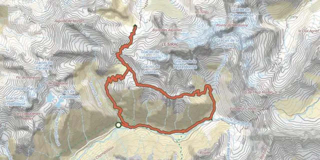 Plan IGN © IGN 2026De col en col jusqu'à VallonpierreÉcrins, Champoléon (05) · Point to pointOfficial rating by Parc national des Écrins
 Plan IGN © IGN 2026De la cabane du Garde à Notre-Dame du ChâteauProvence-Alpes-Côte d'Azur, Saint-Étienne-du-Grès (13) · LoopOfficial rating by Parcs naturels régionaux de Provence-Alpes-Côte d'Azur
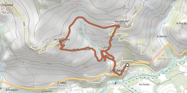 Plan IGN © IGN 2026De La Grave au hameau de VentelonÉcrins, La Grave (05) · LoopOfficial rating by Parc national des Écrins
 Plan IGN © IGN 2026De Névache à PlampinetProvence-Alpes-Côte d'Azur, Névache (05) · Out and backOfficial rating by Parc national des Écrins
 Plan IGN © IGN 2026De Rosans à la vallée de l'OuleProvence-Alpes-Côte d'Azur, Rosans (05) · Point to pointOfficial rating by Parcs naturels régionaux de Provence-Alpes-Côte d'Azur
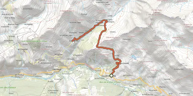 Plan IGN © IGN 2026De Villar d'Arène au hameau des HièresÉcrins, Villar-d'Arêne (05) · Out and backOfficial rating by Parc national des Écrins
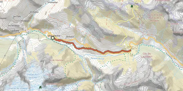 Plan IGN © IGN 2026De Villar d'Arène jusqu'au Col du LautaretÉcrins, Villar-d'Arêne (05) · Out and backOfficial rating by Parc national des Écrins
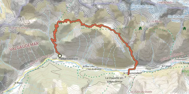 Plan IGN © IGN 2026From Villar-Loubière to La-Chapelle-en-ValgaudemarÉcrins, Villar-Loubière (05) · Point to pointOfficial rating by Parc national des Écrins
 Plan IGN © IGN 2026The burnt farmVerdon, Demandolx (04) · LoopOfficial rating by Parcs naturels régionaux de Provence-Alpes-Côte d'Azur
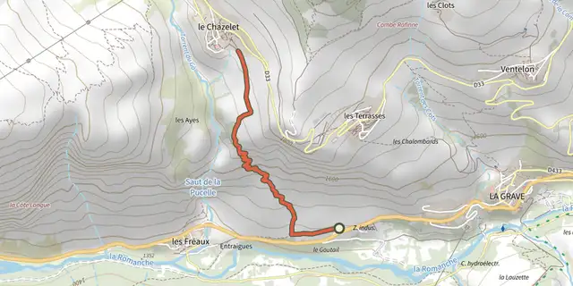 Plan IGN © IGN 2026Des Fréaux au ChazeletÉcrins, La Grave (05) · Point to pointOfficial rating by Parc national des Écrins
 Plan IGN © IGN 2026Des Hières au hameau de ValfroideÉcrins, La Grave (05) · Out and backOfficial rating by Parc national des Écrins
 Plan IGN © IGN 2026Saint-Saturnin-lès-Apt - Du moulin au châteauLuberon, Saint-Saturnin-lès-Apt (84) · LoopOfficial rating by Parcs naturels régionaux de Provence-Alpes-Côte d'Azur
 Plan IGN © IGN 2026From Le Casset to Le LauzetÉcrins, Le Monêtier-les-Bains (05) · Out and backOfficial rating by Parc national des Écrins
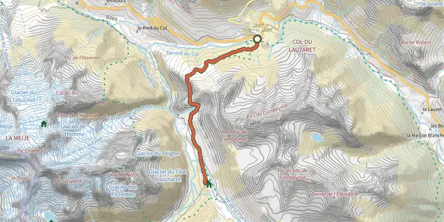 Plan IGN © IGN 2026Crossing from Lautaret to Alpe de VillarÉcrins, Villar-d'Arêne (05) · Out and backOfficial rating by Parc national des Écrins
 Plan IGN © IGN 2026 · track © OpenStreetMapDu Mont du Marseillais au poteau GB-71Provence-Alpes-Côte d'Azur, Roquevaire (13) · Point to point
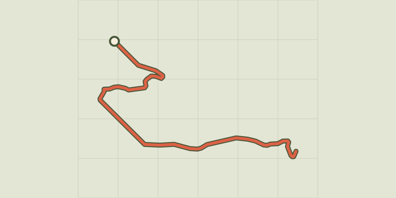 Plan IGN © IGN 2026 · track © OpenStreetMapDu poteau RE 09 au poteau RE 10Provence-Alpes-Côte d'Azur, Peynier (13) · Point to point
 Plan IGN © IGN 2026 · track © OpenStreetMapDu poteau RE 24 à AuriolProvence-Alpes-Côte d'Azur, La Bouilladisse (13) · Point to point