
Hiking GPX tracks in Provence-Alpes-Côte d'Azur (page 22)
842 GPX tracks in Provence-Alpes-Côte d'Azur, with distance, elevation gain and time for each track. Filter by department, sport, distance, elevation gain and time.
All GPX tracks in Provence-Alpes-Côte d'Azur


 Plan IGN © IGN 2026Le sommet du ProrelProvence-Alpes-Côte d'Azur, Puy-Saint-Pierre (05) · Out and backOfficial rating by Parc national des Écrins
 Plan IGN © IGN 2026The Poet’s tombÉcrins, Orcières (05) · Out and backOfficial rating by Parc national des Écrins
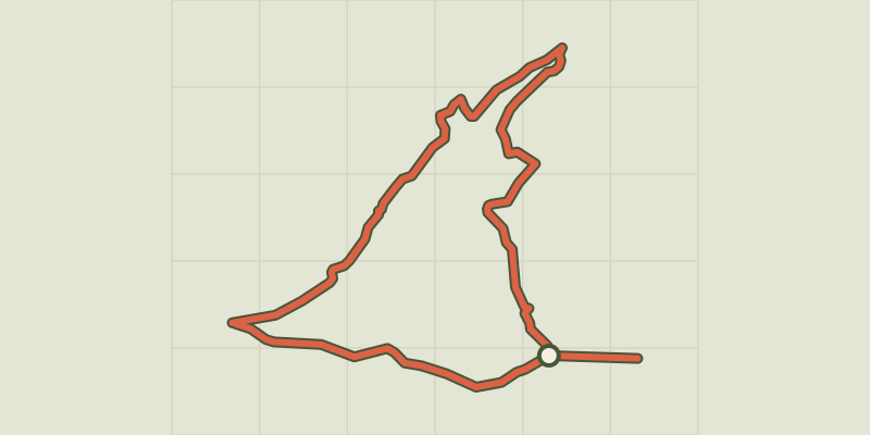 Plan IGN © IGN 2026 · track © OpenStreetMapLe Tour de MalcombeProvence-Alpes-Côte d'Azur, Gap (05) · Point to point
 Plan IGN © IGN 2026Le Tour des balcons du Verdon et plateau de ValensoleVerdon, Gréoux-les-Bains (04) · Point to pointOfficial rating by Parcs naturels régionaux de Provence-Alpes-Côte d'Azur
 Plan IGN © IGN 2026Le tour des hameaux de la GraveÉcrins, La Grave (05) · LoopOfficial rating by Parc national des Écrins
 Plan IGN © IGN 2026Le tour des hameaux de Val-des-PrésProvence-Alpes-Côte d'Azur, Val-des-Prés (05) · LoopOfficial rating by Parc national des Écrins
 Plan IGN © IGN 2026Le tour du bois de SestrièresProvence-Alpes-Côte d'Azur, Montgenèvre (05) · LoopOfficial rating by Parc national des Écrins
 Plan IGN © IGN 2026 · track © OpenStreetMapLe Tour du CuchonProvence-Alpes-Côte d'Azur, Gap (05) · Loop
 Plan IGN © IGN 2026Le tour du QueyrellinProvence-Alpes-Côte d'Azur, Névache (05) · LoopOfficial rating by Parc national des Écrins
 Plan IGN © IGN 2026 · track © OpenStreetMapLe Tour du RomaronProvence-Alpes-Côte d'Azur, Carry-le-Rouet (13) · Point to point
 Plan IGN © IGN 2026 · track © OpenStreetMapLe Trayas (jaune)Provence-Alpes-Côte d'Azur, Saint-Raphaël (83) · Point to point
 Plan IGN © IGN 2026The Buffe valleyÉcrins, La Grave (05) · LoopOfficial rating by Parc national des Écrins
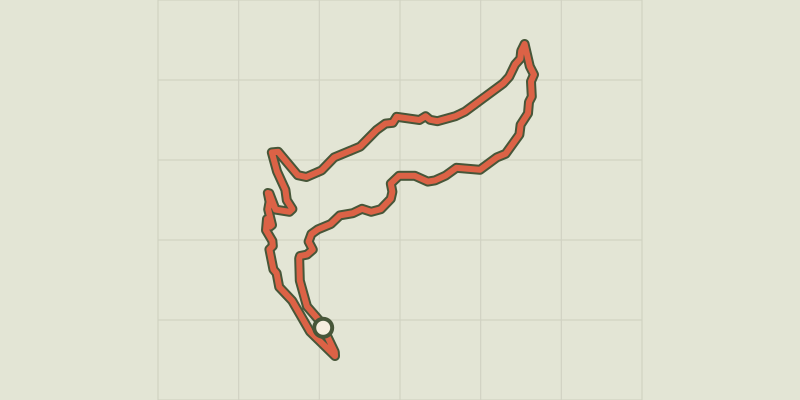 Plan IGN © IGN 2026Le vallon de MartignareÉcrins, La Grave (05) · Out and backOfficial rating by Parc national des Écrins
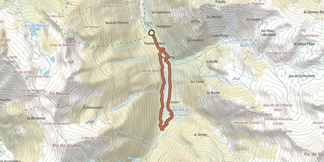 Plan IGN © IGN 2026Navette ValleyÉcrins, La Chapelle-en-Valgaudémar (05) · LoopOfficial rating by Parc national des Écrins
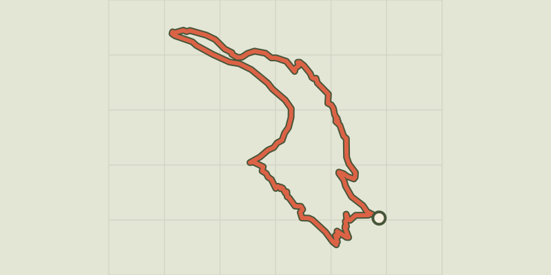 Plan IGN © IGN 2026The Couleau valleyÉcrins, Saint-Clément-sur-Durance (05) · LoopOfficial rating by Parc national des Écrins
 Plan IGN © IGN 2026The 6 mountain hutsÉcrins, Saint-Maurice-en-Valgodemard (05) · Out and backOfficial rating by Parc national des Écrins
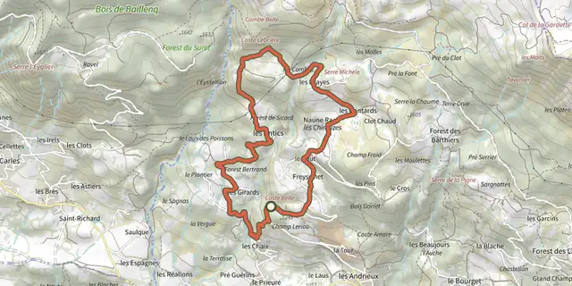 Plan IGN © IGN 2026Les Antics le TruchetProvence-Alpes-Côte d'Azur, Chorges (05) · LoopOfficial rating by Parc national des Écrins
 Plan IGN © IGN 2026 · track © OpenStreetMapLes Balcons de CarrosProvence-Alpes-Côte d'Azur, Carros (06) · Loop
 Plan IGN © IGN 2026Les Balcons de l'EnrouyeProvence-Alpes-Côte d'Azur, Val-des-Prés (05) · LoopOfficial rating by Parc national des Écrins
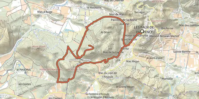 Plan IGN © IGN 2026Les Baux de Provence - Autour de la bauxiteProvence-Alpes-Côte d'Azur, Les Baux-de-Provence (13) · LoopOfficial rating by Parcs naturels régionaux de Provence-Alpes-Côte d'Azur
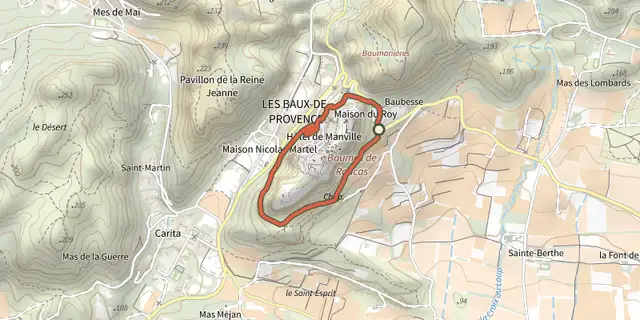 Plan IGN © IGN 2026Les Baux de Provence - Chemin des TrémaïéProvence-Alpes-Côte d'Azur, Les Baux-de-Provence (13) · LoopOfficial rating by Parcs naturels régionaux de Provence-Alpes-Côte d'Azur
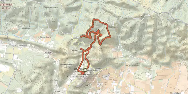 Plan IGN © IGN 2026Les Baux de Provence - Le Val d'EnferProvence-Alpes-Côte d'Azur, Les Baux-de-Provence (13) · LoopOfficial rating by Parcs naturels régionaux de Provence-Alpes-Côte d'Azur
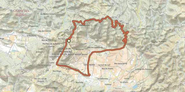 Plan IGN © IGN 2026Les Baux de Provence - The Baumayrane ridgesProvence-Alpes-Côte d'Azur, Les Baux-de-Provence (13) · LoopOfficial rating by Parcs naturels régionaux de Provence-Alpes-Côte d'Azur
 Plan IGN © IGN 2026Les chalets de la TaureProvence-Alpes-Côte d'Azur, Villar-Saint-Pancrace (05) · LoopOfficial rating by Parc national des Écrins