
At the heart of an olive grove

Key facts
- Distance
- 17.8 km
- Ascent
- +246 m
- Descent
- −200 m
- Estimated time
- 4 hr 25
- hiking
- Difficulty
- Moderate
- official rating
- Route
- Loop
- back to the start
Profile and gradient
- under 10%
- 10 to 20%
- over 20%
Gradient along the route: 17.8 km under 10%. Elevation from 15 m to 153 m over 17.8 km.
Surface and path types
- Surface
- Paved 37%
- Dirt & gravel 63%
- Path types
- Trail 8%
- Track 55%
- Road 37%
Description
A circuit which follows the old railway track Salon-Arles and allows you to see landscapes of agricultural Provence. So delightful! Along the south side of the Alpilles between the villages of Mouriès and Aureille, this walk goes from the west to east side of a land shaped by man around olive crops, vines and fruit trees. Between pine forest and scrubland, from the massif to the piedmont plain, the landscapes are rich and variant. From the car park at the Place de l'Europe, go left following the Avenue des Alpilles. 100m further, take the Route de Servanes. Continue on it for 600m. 1 - In the left turn, go right up the path leading to the scrub. At the top, turn right and go through the Castellas ridgeline. At the bottom, cross the D24 (be careful!) and follow the D24a across for 350m. Then leave this road to switch to the left. Follow it for 1.5km. 2 - At the junction, continue straight on the old railway track. After the breakthrough in the rock, leave the path to the left and take the small path that leads to a former embankment reclaimed by vegetation. When reaching the Malacercis property, go down the embankment and continue for 1km. 3 - At the crossroads of 4 roads, leave the route of the old railway track and turn left. Cross the Vallée des Baux canal, head north and turn right on the paved road of Pas de Clavel. Continue until the oratory (beautiful view of the village of Aureille). 4 - Turn left at 180° and follow the signs of Eygalières, Mouriès and Maussane (GR®6). After 600m, leave the GR®6 going up to the right and continue straight on the GR®653A. Go along the small massif Pas de Cerf. At the end of the paved road, continue on the path (yellow markings). Leave to the left the oil mill of Vaudoret and take a wide track across. Go along a former motocross circuit and the ruins of an old grist mill. Come out on the D24. 5 - Cross the D24 and continue towards the former sand pit. 800m further, cross the Baux valley canal. Continue to the right and get back on the path by the Gaudre de Malaga, heading towards Mouriès. Cross a large olive grove and a small bridge over the Gaudre. Get back on the Route de Servanes. 6 - Go past the Castle of Servanes to the left and continue on the Route de Servanes until the starting point of the hike in central Mouriès.
Difficulty
Official rating: moderate, by Parcs naturels régionaux de Provence-Alpes-Côte d'Azur.
Before you go
- For safety issues and for the preservation of forests, access to natural areas is regulated from June to September. Information during the summer at 08 11 20 13 13 (cost of a local call), on www.bouches-du-rhone.pref.gouv.fr, or the free application MYPROVENCE ENVIE DE BALADE (available on App Store and Android Market).
Getting there
Start: Parking place de l'Europe, Mouriès, Mouriès (13).
Sources
- Track: Parcs naturels régionaux de Provence-Alpes-Côte d'Azur (Chemins des Parcs), Licence Ouverte 2.0, Licence Ouverte 2.0 (Etalab) (www.cheminsdesparcs.fr/trek/44004-MOURIES---Au-coeur-d-une-oliveraie). Time estimated by GPX Path with the Mac app rule, breaks not included.
- Surface and path types: © OpenStreetMap contributors, ODbL, extract of 28 October 2026, matched to the track every 10 m (openstreetmap.org/copyright)
- Official elevation gain: 246 m, Parcs naturels régionaux de Provence-Alpes-Côte d'Azur
Nearby tracks
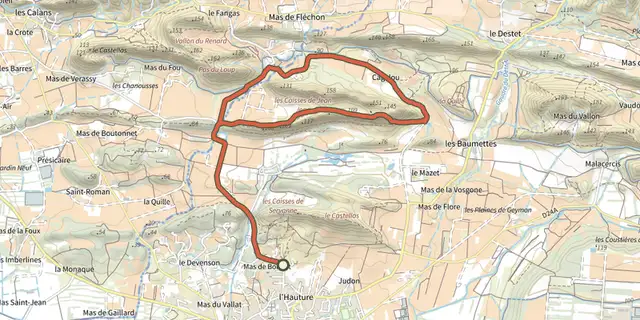
 Plan IGN © IGN 2026Mouries - Caisses de Jean JeanProvence-Alpes-Côte d'Azur, Mouriès (13) · LoopOfficial rating by Parcs naturels régionaux de Provence-Alpes-Côte d'Azur
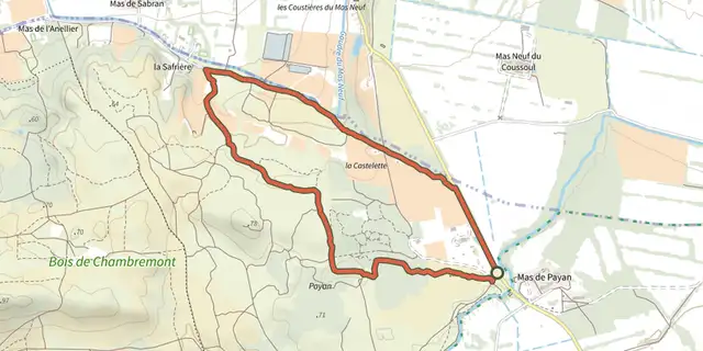 Plan IGN © IGN 2026Saint Martin de Crau - Circuit of GarrigueProvence-Alpes-Côte d'Azur, Saint-Martin-de-Crau (13) · LoopOfficial rating by Parcs naturels régionaux de Provence-Alpes-Côte d'Azur
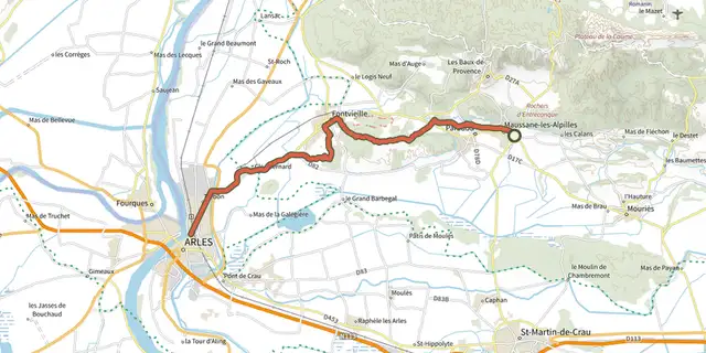 Plan IGN © IGN 2026 · track © OpenStreetMapChemin pastoral de Arles à Maussane-les-AlpillesProvence-Alpes-Côte d'Azur, Maussane-les-Alpilles (13) · Point to point
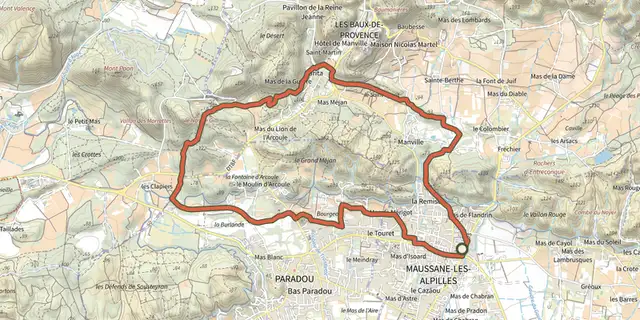 Plan IGN © IGN 2026Maussane les Alpilles - Towards Les-Baux-de-ProvenceProvence-Alpes-Côte d'Azur, Maussane-les-Alpilles (13) · LoopOfficial rating by Parcs naturels régionaux de Provence-Alpes-Côte d'Azur
 Plan IGN © IGN 2026La VallongueProvence-Alpes-Côte d'Azur, Aureille (13) · LoopOfficial rating by Parcs naturels régionaux de Provence-Alpes-Côte d'Azur
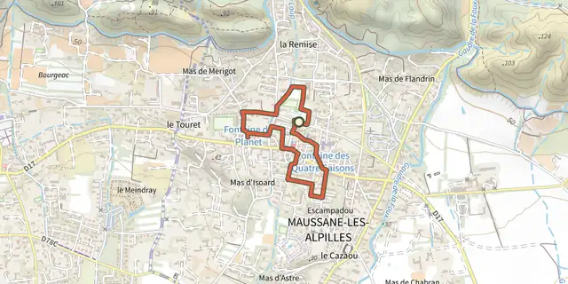 Plan IGN © IGN 2026Maussane les Alpilles - Over the waterProvence-Alpes-Côte d'Azur, Maussane-les-Alpilles (13) · LoopOfficial rating by Parcs naturels régionaux de Provence-Alpes-Côte d'Azur