
GPX tracks in France (page 287)
7,609 GPX tracks in France, with distance, elevation gain and time for each track. Pick a region on the map, then filter by department, sport, distance, elevation gain and time.
All GPX tracks in France
Activity : All activities
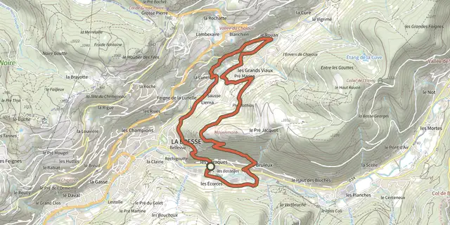
 Plan IGN © IGN 2026 · track © OpenStreetMapSentier du TextileVosges, La Bresse (88) · Loop
 Plan IGN © IGN 2026 · track © OpenStreetMapSentier du TilleulHauts-de-France, Fiennes (62) · Loop
 Plan IGN © IGN 2026Sentier du tombeau de GargantuaBourgogne-Franche-Comté, Échevannes (25) · LoopOfficial rating by Département du Doubs
 Plan IGN © IGN 2026 · track © OpenStreetMapSentier du tour du boisNouvelle-Aquitaine, Pau (64) · Loop
 Plan IGN © IGN 2026 · track © OpenStreetMapSentier du Tour du LacVosges, Gérardmer (88) · Loop
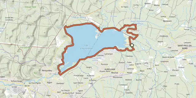 Plan IGN © IGN 2026 · track © OpenStreetMapSentier du Tour du LacNouvelle-Aquitaine, Aureilhan (40) · Loop
 Plan IGN © IGN 2026 · track © OpenStreetMapSentier du ValÎle-de-France, Saint-Germain-en-Laye (78) · Loop
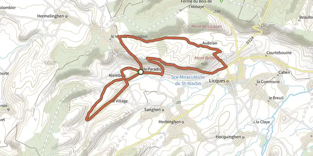 Plan IGN © IGN 2026 · track © OpenStreetMapSentier du VentuHauts-de-France, Alembon (62) · Loop
 Plan IGN © IGN 2026Old Collet walkCévennes, Le Collet-de-Dèze (48) · LoopOfficial rating by Parc national des Cévennes
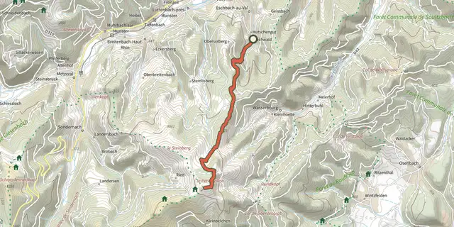 Plan IGN © IGN 2026 · track © OpenStreetMapSentier Emile HertzogVosges, Eschbach-au-Val (68) · Point to point
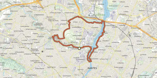 Plan IGN © IGN 2026Sentier Erdre - Cens - GesvresPays de la Loire, Nantes (44) · LoopOfficial rating by Département de Loire-Atlantique
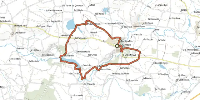 Plan IGN © IGN 2026Sentier Etangs et CalvairesPays de la Loire, Saint-Aubin-des-Châteaux (44) · LoopOfficial rating by Département de Loire-Atlantique
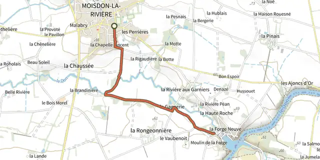 Plan IGN © IGN 2026Sentier Farinel - La Gagnerie - La Forge (liaison)Pays de la Loire, Moisdon-la-Rivière (44) · LoopOfficial rating by Département de Loire-Atlantique
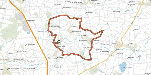 Plan IGN © IGN 2026Sentier FritillairePays de la Loire, Jans (44) · LoopOfficial rating by Département de Loire-Atlantique
 Plan IGN © IGN 2026 · track © OpenStreetMapSentier Géologique / Sentier des ChortensGrand Est, Bouxwiller (67) · Loop
 Plan IGN © IGN 2026Sentier géologique du ChenailletProvence-Alpes-Côte d'Azur, Cervières (05) · Out and backOfficial rating by Parc national des Écrins
 Plan IGN © IGN 2026Sentier Grande BoucleCentre-Val de Loire, Luynes (37) · LoopOfficial rating by Tours Métropole Val de Loire
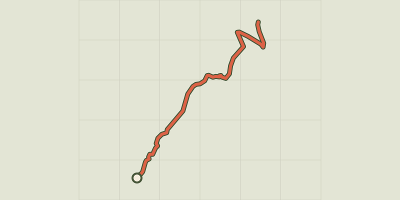 Plan IGN © IGN 2026 · track © OpenStreetMapSentier Guy MercierVosges, Ventron (88) · Point to point
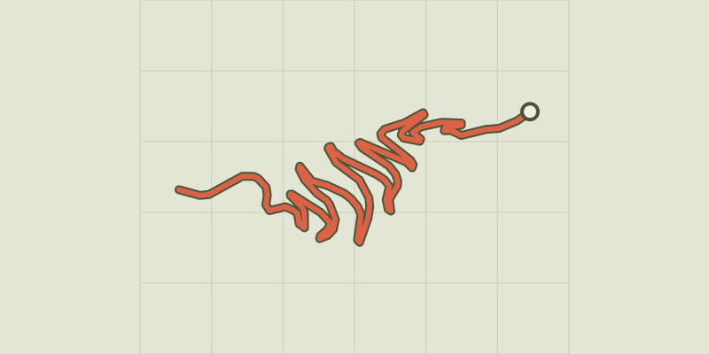 Plan IGN © IGN 2026 · track © OpenStreetMapSentier HerzogVosges, Wettolsheim (68) · Point to point
 Plan IGN © IGN 2026Sentier historique de BelvoirBourgogne-Franche-Comté, Sancey (25) · LoopOfficial rating by Département du Doubs
 Plan IGN © IGN 2026Sentier historique de GrignolsPérigord, Grignols (24) · Loop
 Plan IGN © IGN 2026 · track © OpenStreetMapSentier historique de la mine de la FinosaCorsica, Ghisoni (2B) · Point to point
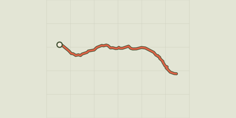 Plan IGN © IGN 2026 · track © OpenStreetMapSentier ImouchaProvence-Alpes-Côte d'Azur, Beaurecueil (13) · Point to point
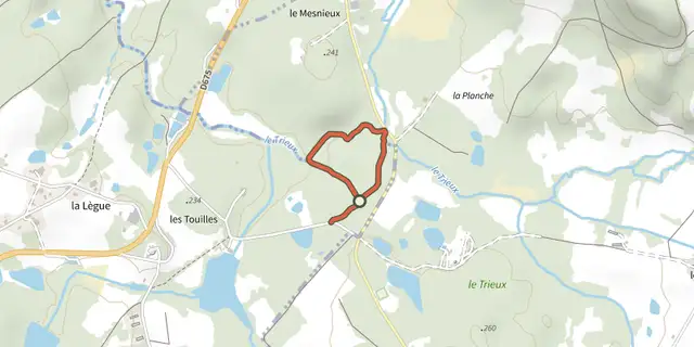 Plan IGN © IGN 2026Sentier Interprétation de la forêt des MesnieuxPérigord, Piégut-Pluviers (24) · Loop