
Old Collet walk

Key facts
- Distance
- 2.0 km
- Ascent
- +39 m
- Descent
- −23 m
- Estimated time
- 30 min
- hiking
- Difficulty
- Very easy
- official rating
- Route
- Loop
- back to the start
Profile and gradient
- under 10%
- 10 to 20%
- over 20%
Gradient along the route: 2.0 km under 10%. Elevation from 293 m to 316 m over 2.0 km.
Surface and path types
- Surface
- Paved 68%
- Dirt & gravel 24%
- Unknown 8%
- Path types
- Trail 8%
- Track 24%
- Road 68%
Description
The walk takes you to the centre of the old village using the former Royal road, which was once the only track from Chamborigaud to Saint German-de-Calberte. This is a walk through the historical heart of Le Collet-de-Dèze with its old Cevenol houses, to the temple (Protestant church) built in 1646 and the top of the Puech de la Sabaterie hill. The village of Le Collet-de-Dèze is located on a strategic communication route linking the Cévennes with the coast. It has been shaped throughout its existence by floods, so-called Cevenol episodes, and also bears witness to the history and memory of the Camisard War. This walk has eleven numbered information panels.
Difficulty
Official rating: very easy, by Parc national des Cévennes.
Getting there
Start: En face de l'office de tourisme, Le Collet-de-Dèze (48).
Sources
- Track: Parc national des Cévennes, Licence Ouverte 1.0, Licence Ouverte 1.0 (Etalab) (destination.cevennes-parcnational.fr/trek/38003-Sentier-du-vieux-Collet). Time estimated by GPX Path with the Mac app rule, breaks not included.
- Surface and path types: © OpenStreetMap contributors, ODbL, extract of 28 October 2026, matched to the track every 10 m (openstreetmap.org/copyright)
- Official elevation gain: 39 m, Parc national des Cévennes
Nearby tracks

 Plan IGN © IGN 2026Tignac, entre châtaigniers et pinsCévennes, Le Collet-de-Dèze (48) · LoopOfficial rating by Parc national des Cévennes
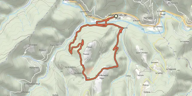 Plan IGN © IGN 2026Les rochesCévennes, Saint-Michel-de-Dèze (48) · LoopOfficial rating by Parc national des Cévennes
 Plan IGN © IGN 2026Le GardonnetCévennes, Saint-Hilaire-de-Lavit (48) · LoopOfficial rating by Parc national des Cévennes
 Plan IGN © IGN 2026Coudoulous trailCévennes, Chamborigaud (30) · LoopOfficial rating by Parc national des Cévennes
 Plan IGN © IGN 2026Tras Lou SerreCévennes, Ventalon en Cévennes (48) · LoopOfficial rating by Parc national des Cévennes
 Plan IGN © IGN 2026Les LuminièresCévennes, Sainte-Cécile-d'Andorge (30) · LoopOfficial rating by Parc national des Cévennes