
The three hamlets

Key facts
- Distance
- 10.5 km
- Ascent
- +271 m
- Descent
- −236 m
- Estimated time
- 2 hr 50
- hiking
- Difficulty
- Easy
- official rating
- Route
- Loop
- back to the start
Profile and gradient
- under 10%
- 10 to 20%
- over 20%
Gradient along the route: 9.7 km under 10% and 0.8 km at 10 to 20%. Elevation from 938 m to 1,105 m over 10.5 km.
Surface and path types
- Surface
- Paved 10%
- Dirt & gravel 90%
- Path types
- Trail 41%
- Track 50%
- Road 9%
Description
This walk at the limit between wooded Causse and bare Causse has panoramic views over the limestone plateau. This ancestral track is partly on a draille (drovers’ road); the built heritage showcases history from the Neolithic to today: a protohistoric enclosure, jasses (overnight pens for livestock), lavognes (man-made watering-holes for livestock), a cross… there is also a strong presence of farming, which maintains the environment. From the parking area, take the road to reach the hamlet of Drigas. - Turn left and go straight up into the hamlet. As you leave the hamlet, continue straight ahead on the track that goes gently uphill to a gate. - At this little pass, take a path to the right that leads to the protohistoric enclosure (you will need to retrace your steps to return). - Back at the pass, take the path opposite, which goes very slightly downhill towards Le Buffre. - As you leave the woods and the field, turn right onto the track to the hamlet of Le Buffre. Then turn right and, when you reach the road, cross it, walking straight ahead to the cross. - At the cross, leave the road and continue straight ahead on the track (draille). Pass the watering-hole on its left. - 100 m after the watering-hole, the path moves up the slope of the hill on the right and goes back downhill to Hures. - Go through the fence and take the track on the right uphill to the quarry, cross the quarry and continue straight ahead on the track to return to Drigas.
Difficulty
Official rating: easy, by Parc national des Cévennes.
Before you go
- This walk is not advisable in hot weather. Make sure your equipment is appropriate for the day’s weather conditions. Remember that the weather changes quickly in the mountains. Take enough water, wear sturdy shoes and put on a hat. Please close all gates and barriers behind you.
Getting there
Start: Drigas, Hures-la-Parade (48).
Sources
- Track: Parc national des Cévennes, Licence Ouverte 1.0, Licence Ouverte 1.0 (Etalab) (destination.cevennes-parcnational.fr/trek/43385-Les-trois-hameaux-du-Mejean). Time estimated by GPX Path with the Mac app rule, breaks not included.
- Surface and path types: © OpenStreetMap contributors, ODbL, extract of 28 October 2026, matched to the track every 10 m (openstreetmap.org/copyright)
- Official elevation gain: 271 m, Parc national des Cévennes
Nearby tracks
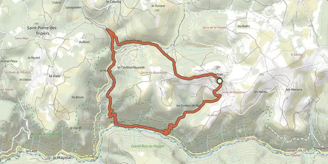
 Plan IGN © IGN 2026Roc Saint-GervaisOccitanie, Hures-la-Parade (48) · LoopOfficial rating by Parc national des Cévennes
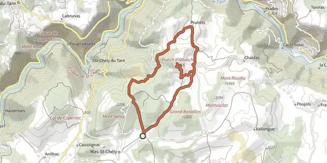 Plan IGN © IGN 2026Puech d'AlluechCévennes, Mas-Saint-Chély (48) · LoopOfficial rating by Parc national des Cévennes
 Plan IGN © IGN 2026DargilanOccitanie, Meyrueis (48) · LoopOfficial rating by Parc national des Cévennes
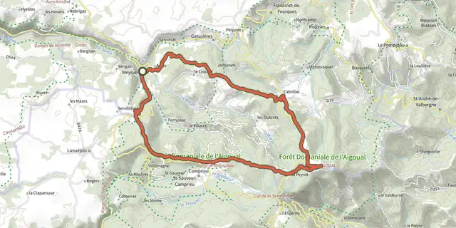 Plan IGN © IGN 2026From Meyrueis to the summit of Mont Aigoual.Cévennes, Meyrueis (48) · Point to pointOfficial rating by Parc national des Cévennes
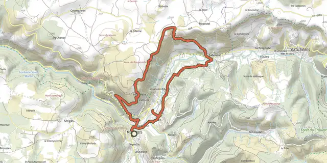 Plan IGN © IGN 2026PauparelleCévennes, Meyrueis (48) · LoopOfficial rating by Parc national des Cévennes
 Plan IGN © IGN 2026Roquedols CastleOccitanie, Meyrueis (48) · LoopOfficial rating by Parc national des Cévennes