
Dargilan

Key facts
- Distance
- 9.7 km
- Ascent
- +223 m
- Descent
- −186 m
- Estimated time
- 2 hr 35
- hiking
- Difficulty
- Easy
- official rating
- Route
- Loop
- back to the start
Profile and gradient
- under 10%
- 10 to 20%
- over 20%
Gradient along the route: 9.5 km under 10% and 0.2 km at 10 to 20%. Elevation from 853 m to 967 m over 9.7 km.
Surface and path types
- Surface
- Paved 32%
- Dirt & gravel 68%
- Path types
- Trail 37%
- Track 31%
- Road 32%
Description
A plateau path through typical hamlets and a magnificent section with views onto the Jonte Gorge. Take the road towards Dargilan for 500 m. 1) At the water reservoir, leave the road and take a track just below it, on the left. The track runs past the farm of Les Brousses. 2) Ignore the left-hand track and continue straight ahead on the track that goes through pine plantations before coming out onto the D 47c road, the border between the Gard and Lozère departments. 3) Turn right onto the road and walk to the crossroads of the Croix des Trois Evêques (Three Bishops’ Cross). 4) At the crossroads, continue straight ahead on the D139 towards Dargilan. 5) In the hamlet of Dargilan, take the track on the right for 800 m. At the bottom of the slope, leave the track and take a path on the left that runs along the ledge of the Causse Noir until Sérigas.
Difficulty
Official rating: easy, by Parc national des Cévennes.
Before you go
- NB: On this walk, you will need to close several barriers behind you. Make sure your equipment is appropriate for the day’s weather conditions. Remember that the weather changes quickly in the mountains. Take enough water, wear sturdy shoes and put on a hat.
Getting there
Start: Sérigas, causse Noir, Meyrueis (48).
Sources
- Track: Parc national des Cévennes, Licence Ouverte 1.0, Licence Ouverte 1.0 (Etalab) (destination.cevennes-parcnational.fr/trek/43335-Dargilan). Time estimated by GPX Path with the Mac app rule, breaks not included.
- Surface and path types: © OpenStreetMap contributors, ODbL, extract of 28 October 2026, matched to the track every 10 m (openstreetmap.org/copyright)
- Official elevation gain: 223 m, Parc national des Cévennes
Nearby tracks
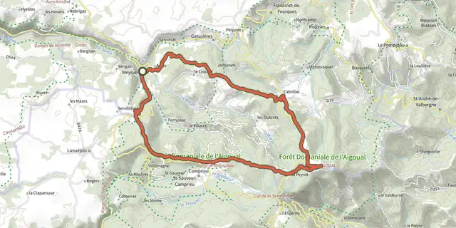
 Plan IGN © IGN 2026From Meyrueis to the summit of Mont Aigoual.Cévennes, Meyrueis (48) · Point to pointOfficial rating by Parc national des Cévennes
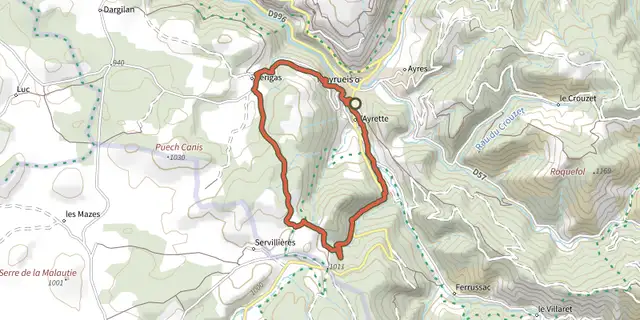 Plan IGN © IGN 2026The two farms of the Causse NoirOccitanie, Meyrueis (48) · LoopOfficial rating by Parc national des Cévennes
 Plan IGN © IGN 2026Roquedols CastleOccitanie, Meyrueis (48) · LoopOfficial rating by Parc national des Cévennes
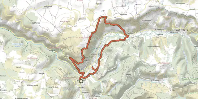 Plan IGN © IGN 2026PauparelleCévennes, Meyrueis (48) · LoopOfficial rating by Parc national des Cévennes
 Plan IGN © IGN 2026O Roquedols, my Roquedols!Cévennes, Meyrueis (48) · LoopOfficial rating by Parc national des Cévennes
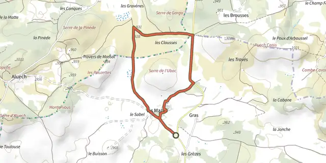 Plan IGN © IGN 2026Three Bishops’ Cross trailCévennes, Lanuéjols (30) · LoopOfficial rating by Parc national des Cévennes