
GPX tracks in Nouvelle-Aquitaine (page 41)
1,231 GPX tracks in Nouvelle-Aquitaine, with distance, elevation gain and time for each track. Filter by department, sport, distance, elevation gain and time.
All GPX tracks in Nouvelle-Aquitaine

 Plan IGN © IGN 2026Le chemin des LébérousPérigord, Saint-Martin-des-Combes (24) · Loop
 Plan IGN © IGN 2026 · track © OpenStreetMapLe circuit duPuy-PointuMillevaches in Limousin, Rempnat (87) · Loop
 Plan IGN © IGN 2026Le clos BarraultNouvelle-Aquitaine, Colombiers (86) · Loop
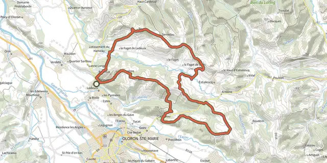
 Plan IGN © IGN 2026 · track © OpenStreetMapLe FagetNouvelle-Aquitaine, Ledeuix (64) · Loop
 Plan IGN © IGN 2026Le Font d'IgonNouvelle-Aquitaine, Usseau (86) · Loop
 Plan IGN © IGN 2026 · track © OpenStreetMapLe Fréchou, le pays des frênes - 4.6 kmNouvelle-Aquitaine, Fréchou (47) · Loop
 Plan IGN © IGN 2026 · track © OpenStreetMapLe Grand ItinéraireNouvelle-Aquitaine, Meilhac (87) · Loop

 Plan IGN © IGN 2026 · track © OpenStreetMapLe Grand PignonNouvelle-Aquitaine, Scillé (79) · Loop
 Plan IGN © IGN 2026Le grand sentierNouvelle-Aquitaine, Buxeuil (86) · Loop
 Plan IGN © IGN 2026 · track © OpenStreetMapLe grand tour de CosnacNouvelle-Aquitaine, Cosnac (19) · Loop
 Plan IGN © IGN 2026Le Haut ClairvauxNouvelle-Aquitaine, Scorbé-Clairvaux (86) · Loop
 Plan IGN © IGN 2026 · track © OpenStreetMapLe Jardin BourgNouvelle-Aquitaine, Montaignac-sur-Doustre (19) · Loop
 Plan IGN © IGN 2026Le MagnyNouvelle-Aquitaine, Lésigny (86) · Point to point
 Plan IGN © IGN 2026 · track © OpenStreetMapLe Mas-d'Agenais - Les princes des sous-bois en forêt du MasNouvelle-Aquitaine, Le Mas-d'Agenais (47) · Loop
 Plan IGN © IGN 2026 · track © OpenStreetMapLe Mas-d'Agenais, du canal à la forêt - 12.8 kmNouvelle-Aquitaine, Le Mas-d'Agenais (47) · Loop
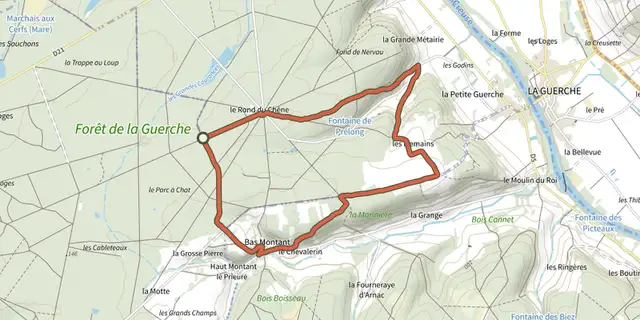 Plan IGN © IGN 2026Le montant et les mesmainsNouvelle-Aquitaine, Leugny (86) · Point to point
 Plan IGN © IGN 2026 · track © OpenStreetMapLe Moulin de ChadebecMillevaches in Limousin, Bonnefond (19) · Loop
 Plan IGN © IGN 2026 · track © OpenStreetMapLe Nomdieu, à la découverte des cadrans solaires 13.9 kmNouvelle-Aquitaine, Nomdieu (47) · Loop
 Plan IGN © IGN 2026 · track © OpenStreetMapLe Nomdieu, vers le point de vue de l'église de Saint-LaryNouvelle-Aquitaine, Saint-Vincent-de-Lamontjoie (47) · Loop
 Plan IGN © IGN 2026 · track © OpenStreetMapLe Nomdieu, vers le point de vue de l'église de Saint-Lary varianteNouvelle-Aquitaine, Saint-Vincent-de-Lamontjoie (47) · Loop
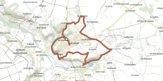 Plan IGN © IGN 2026Le petit patrimoineNouvelle-Aquitaine, Archigny (86) · Loop
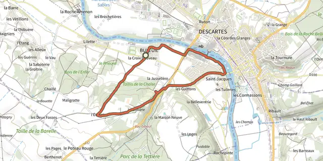 Plan IGN © IGN 2026Le petit sentierNouvelle-Aquitaine, Buxeuil (86) · Loop
 Plan IGN © IGN 2026Le petit souperNouvelle-Aquitaine, Archigny (86) · Point to point
 Plan IGN © IGN 2026 · track © OpenStreetMapLe Pian-sur-Garonne : boucle localeNouvelle-Aquitaine, Le Pian-sur-Garonne (33) · Loop