
GPX tracks in Hauts-de-France (page 4)
222 GPX tracks in Hauts-de-France, with distance, elevation gain and time for each track. Filter by department, sport, distance, elevation gain and time.
All GPX tracks in Hauts-de-France

 Plan IGN © IGN 2026 · track © OpenStreetMapLa Butte aux SignauxHauts-de-France, Camiers (62) · Loop
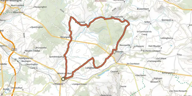
 Plan IGN © IGN 2026 · track © OpenStreetMapLa Cité des PotiersHauts-de-France, Samer (62) · Loop
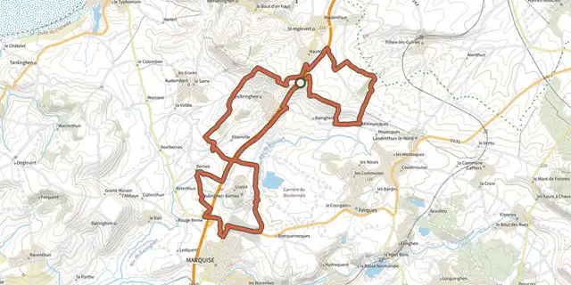 Plan IGN © IGN 2026 · track © OpenStreetMapLa ForteresseHauts-de-France, Leubringhen (62) · Loop
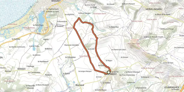 Plan IGN © IGN 2026 · track © OpenStreetMapLa GuialeHauts-de-France, Audembert (62) · Loop
 Plan IGN © IGN 2026 · track © OpenStreetMapLa Haute FaudeHauts-de-France, Wirwignes (62) · Loop
 Plan IGN © IGN 2026 · track © OpenStreetMapLa Haute Vallée de l'AutomneHauts-de-France, Vez (60) · Loop
 Plan IGN © IGN 2026 · track © OpenStreetMapLa HoqueHauts-de-France, Audembert (62) · Loop
 Plan IGN © IGN 2026 · track © OpenStreetMapLa Marie Grouette de BandyckHauts-de-France, Marck (62) · Point to point
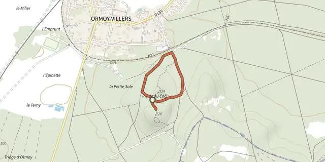 Plan IGN © IGN 2026 · track © OpenStreetMapLa Pierre au CoqHauts-de-France, Ormoy-Villers (60) · Loop
 Plan IGN © IGN 2026 · track © OpenStreetMapLa Planche TournoireHauts-de-France, Hames-Boucres (62) · Loop
 Plan IGN © IGN 2026 · track © OpenStreetMapLa Promenade de GabrielleHauts-de-France, Laversine (02) · Loop
 Plan IGN © IGN 2026 · track © OpenStreetMapLa Ronde de l'EauHauts-de-France, Abbeville (80) · Loop
 Plan IGN © IGN 2026 · track © OpenStreetMapLa Tête de ValléeHauts-de-France, Waben (62) · Loop
 Plan IGN © IGN 2026 · track © OpenStreetMapLa Tête Saint-JeanHauts-de-France, Saint-Jean-aux-Bois (60) · Loop
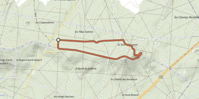 Plan IGN © IGN 2026 · track © OpenStreetMapLa Tour d'Observation du Général ManginHauts-de-France, Puiseux-en-Retz (02) · Loop
 Plan IGN © IGN 2026 · track © OpenStreetMapLa Vallée du ChevireuilHauts-de-France, Floyon (59) · Loop
 Plan IGN © IGN 2026 · track © OpenStreetMapLe Bocage de MondrepuisHauts-de-France, Mondrepuis (02) · Loop
 Plan IGN © IGN 2026 · track © OpenStreetMapLe Bois NoelHauts-de-France, Hucqueliers (62) · Loop
 Plan IGN © IGN 2026 · track © OpenStreetMapLe Camp de GiblouHauts-de-France, Fourmies (59) · Loop
 Plan IGN © IGN 2026 · track © OpenStreetMapLe Camp du RoiHauts-de-France, Bourseville (80) · Loop
 Plan IGN © IGN 2026 · track © OpenStreetMapLe CanalHauts-de-France, Étreux (02) · Loop
 Plan IGN © IGN 2026 · track © OpenStreetMapLe Champ LartHauts-de-France, Saint-Martin-Choquel (62) · Loop
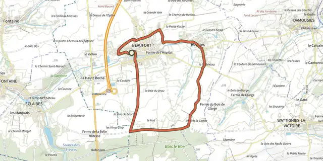 Plan IGN © IGN 2026 · track © OpenStreetMapLe Chemin d'AvesnesHauts-de-France, Beaufort (59) · Loop
 Plan IGN © IGN 2026 · track © OpenStreetMapLe Chemin de CappeHauts-de-France, Samer (62) · Loop