
GPX tracks in Hauts-de-France (page 2)
175 GPX tracks in Hauts-de-France, with distance, elevation gain and time for each track. Filter by department, sport, distance, elevation gain and time.
All GPX tracks in Hauts-de-France

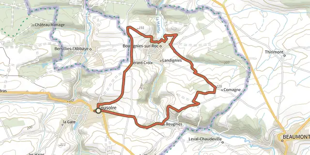
 Plan IGN © IGN 2026 · track © OpenStreetMapCircuit de la HanteHauts-de-France, Cousolre (59) · Loop
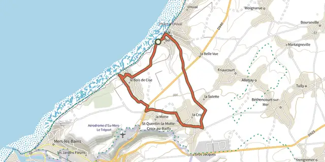 Plan IGN © IGN 2026 · track © OpenStreetMapCircuit De LamotteHauts-de-France, Ault (80) · Loop
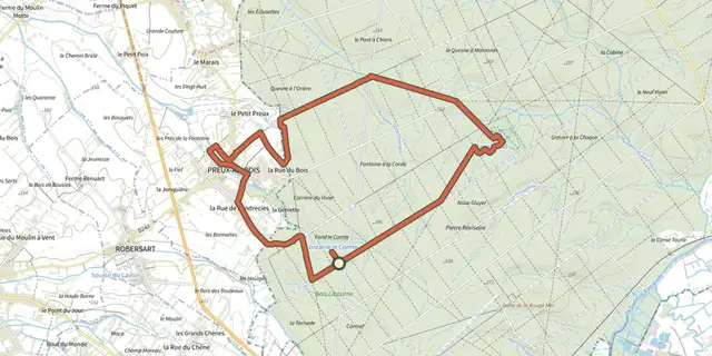 Plan IGN © IGN 2026 · track © OpenStreetMapCircuit de Preux-au-BoisHauts-de-France, Locquignol (59) · Loop
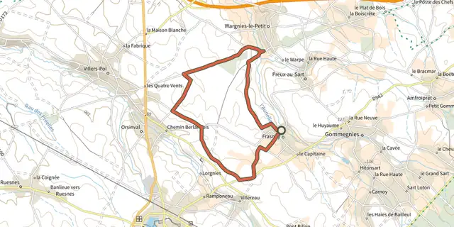 Plan IGN © IGN 2026 · track © OpenStreetMapCircuit de Saint-GhislainHauts-de-France, Frasnoy (59) · Loop
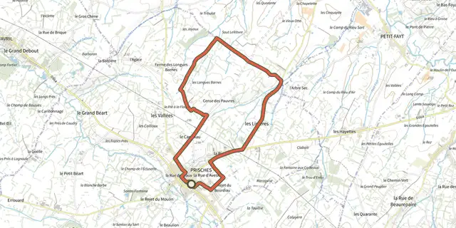 Plan IGN © IGN 2026 · track © OpenStreetMapCircuit des Boutons d'OrHauts-de-France, Prisches (59) · Loop
 Plan IGN © IGN 2026 · track © OpenStreetMapCircuit des ContrebandiersHauts-de-France, Ohain (59) · Loop
 Plan IGN © IGN 2026 · track © OpenStreetMapCircuit des Haies et des RuisseauxHauts-de-France, Sains-du-Nord (59) · Loop
 Plan IGN © IGN 2026 · track © OpenStreetMapCircuit des PlaideursHauts-de-France, Taisnières-en-Thiérache (59) · Loop
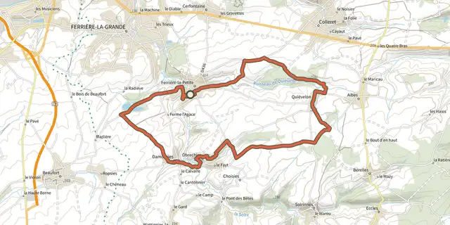 Plan IGN © IGN 2026 · track © OpenStreetMapCircuit des Quatres EglisesHauts-de-France, Ferrière-la-Petite (59) · Loop
 Plan IGN © IGN 2026 · track © OpenStreetMapCircuit des SabotiersHauts-de-France, Locquignol (59) · Loop
 Plan IGN © IGN 2026 · track © OpenStreetMapCircuit du Biau RiHauts-de-France, Solre-le-Château (59) · Loop
 Plan IGN © IGN 2026 · track © OpenStreetMapCircuit du Bois de GroezHauts-de-France, Solre-le-Château (59) · Loop
 Plan IGN © IGN 2026 · track © OpenStreetMapCircuit du Bois de la TailletteHauts-de-France, Feignies (59) · Loop
 Plan IGN © IGN 2026 · track © OpenStreetMapCircuit du Camp de CésarHauts-de-France, Avesnes-sur-Helpe (59) · Loop
 Plan IGN © IGN 2026 · track © OpenStreetMapCircuit du Chateau de RainsarsHauts-de-France, Rainsars (59) · Loop
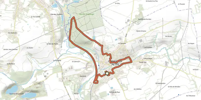 Plan IGN © IGN 2026 · track © OpenStreetMapCircuit du Gres SaleHauts-de-France, Ferrière-la-Petite (59) · Loop
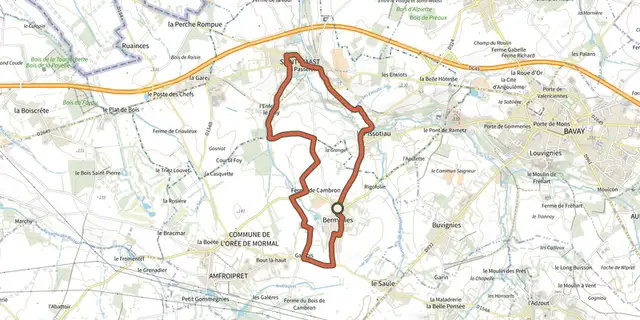 Plan IGN © IGN 2026 · track © OpenStreetMapCircuit du PissotiauHauts-de-France, L'Orée de Mormal (59) · Loop
 Plan IGN © IGN 2026 · track © OpenStreetMapCircuit du Sars BaraHauts-de-France, Berlaimont (59) · Loop
 Plan IGN © IGN 2026 · track © OpenStreetMapCircuit OrnithologiqueHauts-de-France, Eppe-Sauvage (59) · Loop
 Plan IGN © IGN 2026 · track © OpenStreetMapDe l'Helpe à Bois l'AbbéHauts-de-France, Liessies (59) · Loop
 Plan IGN © IGN 2026 · track © OpenStreetMapDe Vieux-Reng à la SambreHauts-de-France, Vieux-Reng (59) · Loop
 Plan IGN © IGN 2026 · track © OpenStreetMapDu Puits du Roi au Vivier CoraxHauts-de-France, Lacroix-Saint-Ouen (60) · Loop
 Plan IGN © IGN 2026 · track © OpenStreetMapDu Witrepin à la DordonneHauts-de-France, Cormont (62) · Loop
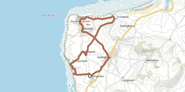 Plan IGN © IGN 2026 · track © OpenStreetMapEntre Crans et BaieHauts-de-France, Audinghen (62) · Loop