
GPX tracks in Hauts-de-France (page 8)
175 GPX tracks in Hauts-de-France, with distance, elevation gain and time for each track. Filter by department, sport, distance, elevation gain and time.
All GPX tracks in Hauts-de-France


 Plan IGN © IGN 2026 · track © OpenStreetMapSentier du HalageHauts-de-France, Guînes (62) · Loop
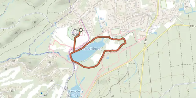 Plan IGN © IGN 2026 · track © OpenStreetMapSentier du MaraisHauts-de-France, Condette (62) · Loop
 Plan IGN © IGN 2026 · track © OpenStreetMapSentier du TilleulHauts-de-France, Fiennes (62) · Loop
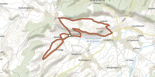 Plan IGN © IGN 2026 · track © OpenStreetMapSentier du VentuHauts-de-France, Alembon (62) · Loop
 Plan IGN © IGN 2026 · track © OpenStreetMapTrois Hameaux et Une MontagneHauts-de-France, Fresnoy-le-Luat (60) · Loop
 Plan IGN © IGN 2026 · track © OpenStreetMapVallée de BienfayHauts-de-France, Moyenneville (80) · Loop
 Plan IGN © IGN 2026 · track © OpenStreetMapValloireHauts-de-France, Argoules (80) · Loop