
The Cabane de Joubelle

Key facts
- Distance
- 3.0 km
- Ascent
- +198 m
- Descent
- −187 m
- Estimated time
- 1 hr 10
- hiking
- Difficulty
- Easy
- official rating
- Route
- Out and back
- same way back
Profile and gradient
- under 10%
- 10 to 20%
- over 20%
Gradient along the route: 0.8 km under 10%, 1.8 km at 10 to 20% and 0.4 km over 20%. Elevation from 1,459 m to 1,650 m over 3.0 km.
Surface and path types
- Surface
- Paved 1%
- Dirt & gravel 99%
- Path types
- Trail 80%
- Track 19%
- Road 1%
Description
This excursion, which takes you past the Lac de St-Apollinaire and its forested surroundings, constitutes a real pool of biodiversity. From the Lac de St-Apollinaire, make your way through the forest to the forest cabin ("Cabane Forestière"). This walk through a designated Natura 2000 site abounds with wild species. You need to keep an ear and eye out if you want to spot its forest inhabitants. The numerous vantage points over the territory will complete this pleasant excursion. - From the car park, follow the right-hand shore of the lake and take the track running uphill to the left, next to the water fountain. After the hairpin bend, carry straight on and continue along the track as it rises. - When you come to the electricity pylons, turn left. - When you are on the forest road, head left and fork onto the track on the right heading towards the Aiguilles de Chabrières and the Cabane de Joubelle. The Forest Centre ("Maison Forestière") is a short distance further up. Sheltered from the sun, with picnic amenities.
Difficulty
Official rating: easy, by Parc national des Écrins.
Getting there
Start: Lac de St Apollinaire, St Apollinaire (attention parking non accessible en période hivernale)., Saint-Apollinaire (05).
Sources
- Track: Parc national des Écrins, Licence Ouverte 2.0, Licence Ouverte 2.0 (Etalab) (destination.ecrins-parcnational.fr/trek/974242-La-cabane-de-Joubelle). Time estimated by GPX Path with the Mac app rule, breaks not included.
- Surface and path types: © OpenStreetMap contributors, ODbL, extract of 28 October 2026, matched to the track every 10 m (openstreetmap.org/copyright)
- Official elevation gain: 198 m, Parc national des Écrins
Nearby tracks
 Plan IGN © IGN 2026Serre du MoutonÉcrins, Réallon (05) · Out and backOfficial rating by Parc national des Écrins
 Plan IGN © IGN 2026JoubelleÉcrins, Réallon (05) · Out and backOfficial rating by Parc national des Écrins
 Plan IGN © IGN 2026Saint-Apollinaire lakeÉcrins, Réallon (05) · LoopOfficial rating by Parc national des Écrins
 Plan IGN © IGN 2026Aiguilles de ChabrièresÉcrins, Réallon (05) · LoopOfficial rating by Parc national des Écrins
 Plan IGN © IGN 2026Le Peuple des OiseauxÉcrins, Réallon (05) · LoopOfficial rating by Parc national des Écrins
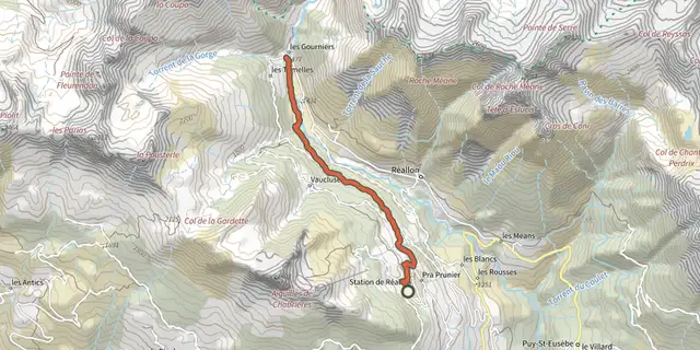 Plan IGN © IGN 2026Hamlet of GourniersÉcrins, Réallon (05) · Point to pointOfficial rating by Parc national des Écrins