
Serre du Mouton

Key facts
- Distance
- 7.6 km
- Ascent
- +594 m
- Descent
- −572 m
- Estimated time
- 3 hr 20
- hiking
- Difficulty
- Moderate
- official rating
- Route
- Out and back
- same way back
Profile and gradient
- under 10%
- 10 to 20%
- over 20%
Gradient along the route: 1.9 km under 10%, 3.0 km at 10 to 20% and 2.7 km over 20%. Elevation from 1,554 m to 2,116 m over 7.6 km.
Description
This hike takes in the views of the Lac de Serre-Ponçon and gives you a close-up view of the Aiguilles de Chabrière. “What I liked about this route is that you go from forest, to areas of wooded meadows until arriving below the aiguilles de Chabrières where the vegetation gives way to white expanses with a breathtaking view of Lake Serre-Ponçon" - From the ski pass ticket offices, turn left towards the forest to join a wide track. Turn right uphill, then left at the intersection. - At the "Piste de Joubelle" post turn right onto the uphill path. Further on, this joins a track that you have to follow uphill. - Once you reach a flat area at the edge of the forest, go left, winding through the forest to reach another track higher up which you must take on the way up. This leads to a clearing; cross it and then climb the slope to the right. The path leaves the forest at the "Serre du mouton" post. - From here, continue uphill until you reach the first lookout. - Go back up the ski slope for 200m, then turn left after some cliffs on a steep climb. Follow the ridge to the top of the station and continue as far as an orientation table beneath the majestic Aiguilles de Chabrières. - The return journey takes the same route.
Difficulty
Official rating: moderate, by Parc national des Écrins.
Getting there
Start: Station de Réallon, Réallon, Réallon (05).
Sources
- Track: Parc national des Écrins, Licence Ouverte 2.0, Licence Ouverte 2.0 (Etalab) (destination.ecrins-parcnational.fr/trek/997707-Le-Serre-du-Mouton). Time estimated by GPX Path with the Mac app rule, breaks not included.
- Official elevation gain: 594 m, Parc national des Écrins
Nearby tracks
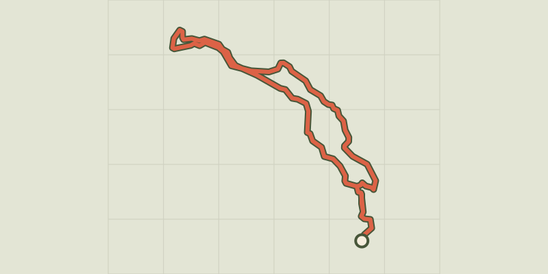
 Plan IGN © IGN 2026Le Peuple des OiseauxÉcrins, Réallon (05) · LoopOfficial rating by Parc national des Écrins
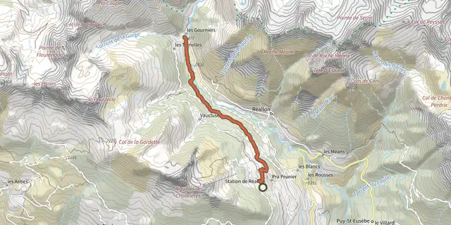 Plan IGN © IGN 2026Hamlet of GourniersÉcrins, Réallon (05) · Point to pointOfficial rating by Parc national des Écrins
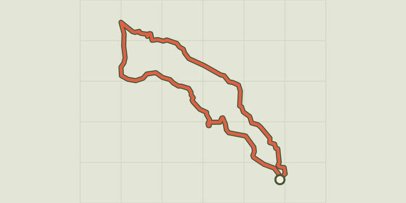 Plan IGN © IGN 2026The hamlet of VaucluseÉcrins, Réallon (05) · LoopOfficial rating by Parc national des Écrins
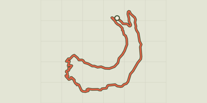 Plan IGN © IGN 2026Saint-Apollinaire lakeÉcrins, Réallon (05) · LoopOfficial rating by Parc national des Écrins
 Plan IGN © IGN 2026JoubelleÉcrins, Réallon (05) · Out and backOfficial rating by Parc national des Écrins
 Plan IGN © IGN 2026Aiguilles de ChabrièresÉcrins, Réallon (05) · LoopOfficial rating by Parc national des Écrins