
Hiking GPX tracks in Corsica (page 7)
193 GPX tracks in Corsica, with distance, elevation gain and time for each track. Filter by department, sport, distance, elevation gain and time.
All GPX tracks in Corsica


 Plan IGN © IGN 2026 · track © OpenStreetMapParcours niveau 1 Mare è StagnuCorsica, Aléria (2B) · Loop
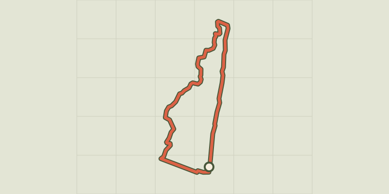 Plan IGN © IGN 2026 · track © OpenStreetMapParcours niveau 2 Mare è StagnuCorsica, Aléria (2B) · Loop
 Plan IGN © IGN 2026 · track © OpenStreetMapPetit Parcours BleuCorsica, Serra-di-Fiumorbo (2B) · Loop
 Plan IGN © IGN 2026 · track © OpenStreetMapPetit Parcours VertCorsica, Ghisonaccia (2B) · Loop
 Plan IGN © IGN 2026 · track © OpenStreetMapPetite boucle de la cascade d'UndellaCorsica, San-Gavino-di-Fiumorbo (2B) · Loop
 Plan IGN © IGN 2026 · track © OpenStreetMapPetite boucle du MonastèreCorsica, Sari-Solenzara (2A) · Loop
 Plan IGN © IGN 2026 · track © OpenStreetMapPetite boucle Funtana di VignaliCorsica, Sari-Solenzara (2A) · Loop
 Plan IGN © IGN 2026 · track © OpenStreetMapPortiglio à CotiCorsica, Coti-Chiavari (2A) · Point to point
 Plan IGN © IGN 2026 · track © OpenStreetMapPunta di a Vacca MortaCorsica, Porto-Vecchio (2A) · Loop
 Plan IGN © IGN 2026 · track © OpenStreetMapPunta di u CorbuCorsica, Corte (2B) · Point to point
 Plan IGN © IGN 2026 · track © OpenStreetMapReparata-Ile RousseBalagne, L'Île-Rousse (2B) · Point to point
 Plan IGN © IGN 2026 · track © OpenStreetMapRoute des CondamnésCorsica, Évisa (2A) · Loop
 Plan IGN © IGN 2026 · track © OpenStreetMapSentier Agnatello - OrnasuCorsica, Serra-di-Fiumorbo (2B) · Point to point
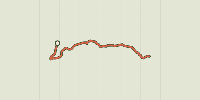 Plan IGN © IGN 2026 · track © OpenStreetMapSentier Aquacitosa - Pinellu - OrnasuCorsica, Serra-di-Fiumorbo (2B) · Point to point
 Plan IGN © IGN 2026 · track © OpenStreetMapSentier archéologiqueCorsica, Vivario (2B) · Point to point
 Plan IGN © IGN 2026 · track © OpenStreetMapSentier Botanique du Ponte di MarionuCorsica, Zonza (2A) · Point to point
 Plan IGN © IGN 2026 · track © OpenStreetMapSentier Cartalavone - PascialedduCorsica, Porto-Vecchio (2A) · Point to point
 Plan IGN © IGN 2026 · track © OpenStreetMapSentier Cuva-TopajaCorsica, Prunelli-di-Fiumorbo (2B) · Point to point
 Plan IGN © IGN 2026 · track © OpenStreetMapSentier de Belvédère à CampomoroCorsica, Belvédère-Campomoro (2A) · Point to point
 Plan IGN © IGN 2026 · track © OpenStreetMapSentier de découverte de la SitelleCorsica, Évisa (2A) · Loop
 Plan IGN © IGN 2026 · track © OpenStreetMapSentier de l'AltareCorsica, Asco (2B) · Point to point
 Plan IGN © IGN 2026 · track © OpenStreetMapSentier de la Sapara VardataCorsica, Zonza (2A) · Point to point
 Plan IGN © IGN 2026 · track © OpenStreetMapSentier de la TranshumanceBalagne, Corscia (2B) · Point to point
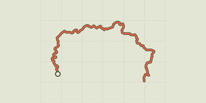 Plan IGN © IGN 2026 · track © OpenStreetMapSentier des Douaniers du Cap CorseCap Corse, Centuri (2B) · Point to point