
Les Luminières

Key facts
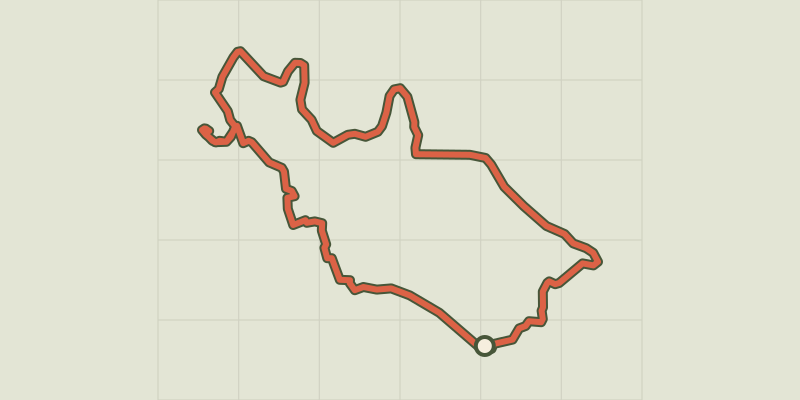
- Distance
- 6.0 km
- Ascent
- +232 m
- Descent
- −191 m
- Estimated time
- 1 hr 45
- hiking
- Difficulty
- Easy
- official rating
- Route
- Loop
- back to the start
Profile and gradient
- under 10%
- 10 to 20%
- over 20%
Gradient along the route: 5.2 km under 10% and 0.7 km at 10 to 20%. Elevation from 240 m to 436 m over 6.0 km.
Surface and path types
- Surface
- Paved 26%
- Dirt & gravel 74%
- Path types
- Trail 32%
- Track 42%
- Road 26%
Description
Hidden under the vegetation are remains that look like a mediaeval fortress and tell the adventure story of coal mining. This path leading to Le Simonet’s headframe (mine tower) shows you the traces of an ingenious system for transporting coal, whose remains still cling to the slope. From the ghost hamlet of Les Luminières, you have a good view over these vestiges of open-cast coal mining from the 20th century. Le Simonet’s headframe takes centre stage among the pine trees, overlooking a vertiginous inclined plane.
Difficulty
Official rating: easy, by Parc national des Cévennes.
Before you go
- For your own safety and to preserve the site, you must stay on the marked path
Getting there
Start: La Haute Levade, Sainte-Cécile-d'Andorge (30).
Sources
- Track: Parc national des Cévennes, Licence Ouverte 1.0, Licence Ouverte 1.0 (Etalab) (destination.cevennes-parcnational.fr/trek/74824-Sentier-des-energies-%3A-Les-luminieres). Time estimated by GPX Path with the Mac app rule, breaks not included.
- Surface and path types: © OpenStreetMap contributors, ODbL, extract of 28 October 2026, matched to the track every 10 m (openstreetmap.org/copyright)
- Official elevation gain: 232 m, Parc national des Cévennes
Nearby tracks

 Plan IGN © IGN 2026Roc TrouéCévennes, Soustelle (30) · LoopOfficial rating by Parc national des Cévennes
 Plan IGN © IGN 2026Old Collet walkCévennes, Le Collet-de-Dèze (48) · LoopOfficial rating by Parc national des Cévennes
 Plan IGN © IGN 2026Tignac, entre châtaigniers et pinsCévennes, Le Collet-de-Dèze (48) · LoopOfficial rating by Parc national des Cévennes
 Plan IGN © IGN 2026Coudoulous trailCévennes, Chamborigaud (30) · LoopOfficial rating by Parc national des Cévennes
 Plan IGN © IGN 2026The Luech valleyCévennes, Chambon (30) · LoopOfficial rating by Parc national des Cévennes
 Plan IGN © IGN 2026The tumulus of L’ElzièreCévennes, Chambon (30) · LoopOfficial rating by Parc national des Cévennes