
Hiking GPX tracks in Centre-Val de Loire (page 5)
160 GPX tracks in Centre-Val de Loire, with distance, elevation gain and time for each track. Filter by department, sport, distance, elevation gain and time.
All GPX tracks in Centre-Val de Loire


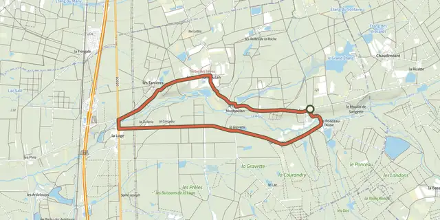
 Plan IGN © IGN 2026 · track © OpenStreetMapLa LogeCentre-Val de Loire, Theillay (41) · Loop
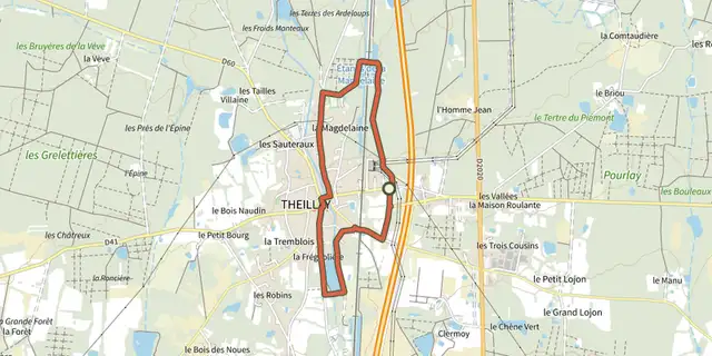 Plan IGN © IGN 2026 · track © OpenStreetMapLa MagdeleineCentre-Val de Loire, Theillay (41) · Loop
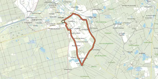 Plan IGN © IGN 2026 · track © OpenStreetMapLa MaugerieCentre-Val de Loire, Thoury (41) · Loop
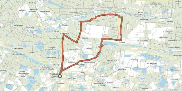 Plan IGN © IGN 2026 · track © OpenStreetMapLa NoueCentre-Val de Loire, Vernou-en-Sologne (41) · Loop
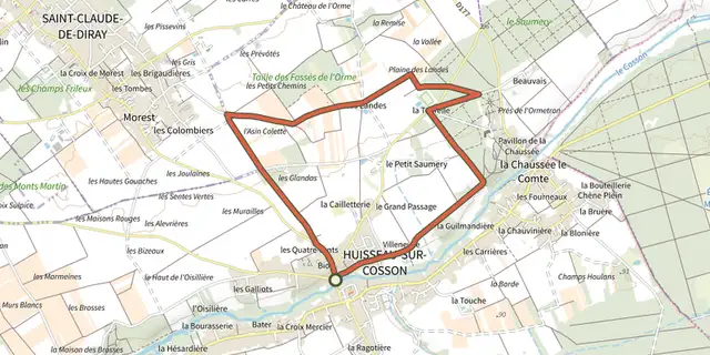 Plan IGN © IGN 2026 · track © OpenStreetMapLa Plaine des LandesCentre-Val de Loire, Huisseau-sur-Cosson (41) · Loop
 Plan IGN © IGN 2026 · track © OpenStreetMapLa rando des trois ponts de BloisCentre-Val de Loire, Blois (41) · Loop
 Plan IGN © IGN 2026 · track © OpenStreetMapLa rue du BoisCentre-Val de Loire, Vernou-en-Sologne (41) · Loop
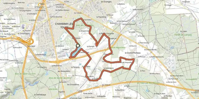 Plan IGN © IGN 2026LandesCentre-Val de Loire, Chambray-lès-Tours (37) · LoopOfficial rating by Tours Métropole Val de Loire
 Plan IGN © IGN 2026 · track © OpenStreetMapLe bois des RochesCentre-Val de Loire, Fontgombault (36) · Loop
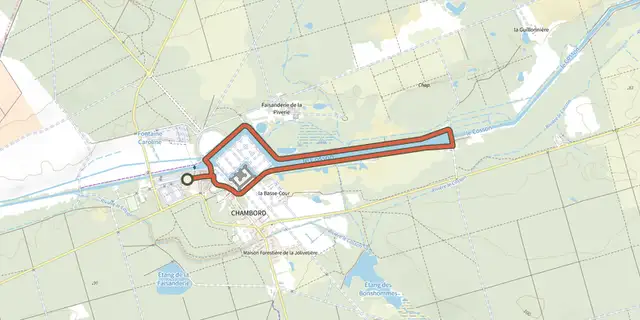 Plan IGN © IGN 2026 · track © OpenStreetMapLe canal de ChambordCentre-Val de Loire, Chambord (41) · Loop
 Plan IGN © IGN 2026 · track © OpenStreetMapLe château et ses demoisellesCentre-Val de Loire, Azay-le-Ferron (36) · Loop
 Plan IGN © IGN 2026 · track © OpenStreetMapLe GarryCentre-Val de Loire, Neung-sur-Beuvron (41) · Loop
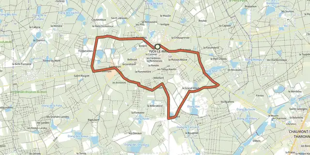 Plan IGN © IGN 2026 · track © OpenStreetMapLe Grand VilledyCentre-Val de Loire, Yvoy-le-Marron (41) · Loop
 Plan IGN © IGN 2026 · track © OpenStreetMapLe marais de l'AulneCentre-Val de Loire, Vernou-en-Sologne (41) · Loop
 Plan IGN © IGN 2026 · track © OpenStreetMapLe MesnilCentre-Val de Loire, Villeny (41) · Loop
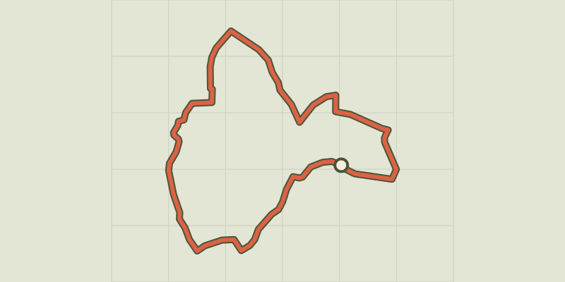 Plan IGN © IGN 2026 · track © OpenStreetMapLe Suin, du calcaire à l'argileCentre-Val de Loire, Douadic (36) · Loop
 Plan IGN © IGN 2026 · track © OpenStreetMapLes bords de l'AnglinCentre-Val de Loire, Bélâbre (36) · Loop
 Plan IGN © IGN 2026 · track © OpenStreetMapLes BourdinièresCentre-Val de Loire, Millançay (41) · Loop
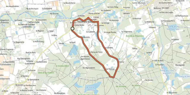 Plan IGN © IGN 2026 · track © OpenStreetMapLes Champs de PollerCentre-Val de Loire, Tour-en-Sologne (41) · Loop
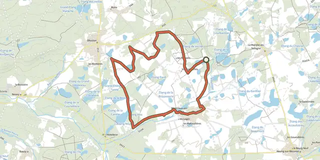 Plan IGN © IGN 2026 · track © OpenStreetMapLes deux châteauxCentre-Val de Loire, Montrieux-en-Sologne (41) · Loop
 Plan IGN © IGN 2026 · track © OpenStreetMapLes pas pressésCentre-Val de Loire, Blois (41) · Loop
 Plan IGN © IGN 2026 · track © OpenStreetMapLes PinsCentre-Val de Loire, Neung-sur-Beuvron (41) · Loop
 Plan IGN © IGN 2026 · track © OpenStreetMapLes RabriesCentre-Val de Loire, Saint-Laurent-Nouan (41) · Loop
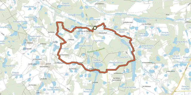 Plan IGN © IGN 2026 · track © OpenStreetMapLes RouzièresCentre-Val de Loire, Vernou-en-Sologne (41) · Loop