
Hiking GPX tracks in Centre-Val de Loire (page 4)
160 GPX tracks in Centre-Val de Loire, with distance, elevation gain and time for each track. Filter by department, sport, distance, elevation gain and time.
All GPX tracks in Centre-Val de Loire


 Plan IGN © IGN 2026 · track © OpenStreetMapDe l'étang de la RocheCentre-Val de Loire, Chitenay (41) · Loop
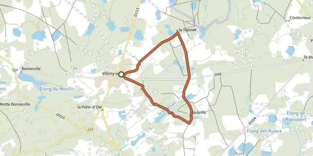 Plan IGN © IGN 2026 · track © OpenStreetMapDe la Grille au Petit-VilliersCentre-Val de Loire, Villeny (41) · Loop
 Plan IGN © IGN 2026 · track © OpenStreetMapDe ville en île, balade à travers les âgesCentre-Val de Loire, Romorantin-Lanthenay (41) · Loop
 Plan IGN © IGN 2026 · track © OpenStreetMapDécouverte du vignobleCentre-Val de Loire, Chitenay (41) · Loop
 Plan IGN © IGN 2026 · track © OpenStreetMapDu parc à la forêtCentre-Val de Loire, Azay-le-Ferron (36) · Loop
 Plan IGN © IGN 2026 · track © OpenStreetMapEn passant par la MaladrerieCentre-Val de Loire, Maslives (41) · Loop
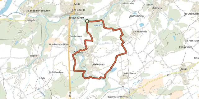 Plan IGN © IGN 2026 · track © OpenStreetMapEn passant par les boisCentre-Val de Loire, Le Controis-en-Sologne (41) · Loop
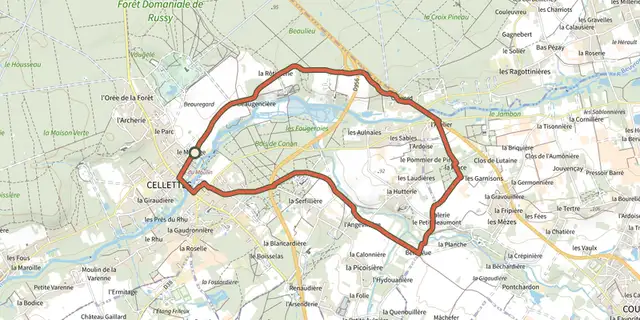 Plan IGN © IGN 2026 · track © OpenStreetMapEn vallée du CononCentre-Val de Loire, Cellettes (41) · Loop
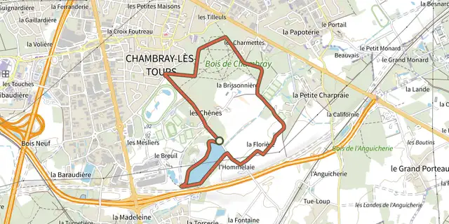 Plan IGN © IGN 2026Entre lac et bois terrainCentre-Val de Loire, Chambray-lès-Tours (37) · LoopOfficial rating by Tours Métropole Val de Loire
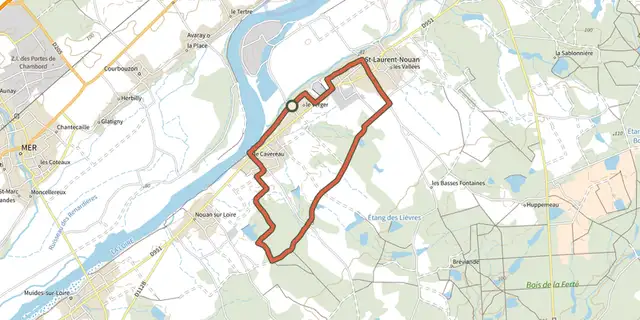 Plan IGN © IGN 2026 · track © OpenStreetMapEntre Loire et SologneCentre-Val de Loire, Saint-Laurent-Nouan (41) · Loop
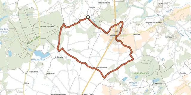 Plan IGN © IGN 2026 · track © OpenStreetMapEntre plaine et forêtCentre-Val de Loire, Sambin (41) · Loop
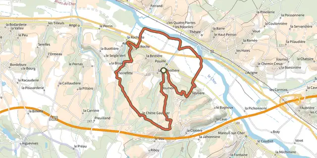 Plan IGN © IGN 2026 · track © OpenStreetMapEntre vigne et valCentre-Val de Loire, Pouillé (41) · Loop
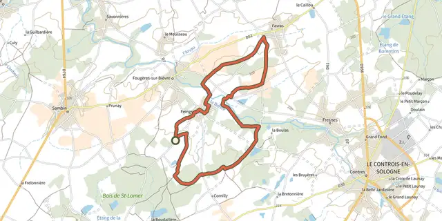 Plan IGN © IGN 2026 · track © OpenStreetMapEntre Vignobles et ForêtsCentre-Val de Loire, Le Controis-en-Sologne (41) · Loop
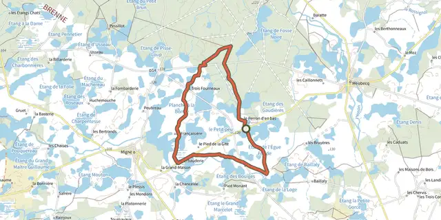 Plan IGN © IGN 2026 · track © OpenStreetMapÉtangs, forêts et buttonsCentre-Val de Loire, Migné (36) · Loop
 Plan IGN © IGN 2026 · track © OpenStreetMapForêt et vergerCentre-Val de Loire, Mont-près-Chambord (41) · Loop
 Plan IGN © IGN 2026 · track © OpenStreetMapForêt et vignesCentre-Val de Loire, Thésée (41) · Loop
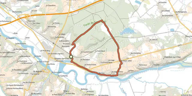 Plan IGN © IGN 2026 · track © OpenStreetMapForêt et vignobleCentre-Val de Loire, Noyers-sur-Cher (41) · Loop
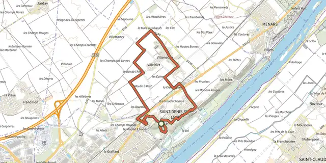 Plan IGN © IGN 2026 · track © OpenStreetMapGrand circuit des eauxCentre-Val de Loire, Saint-Denis-sur-Loire (41) · Loop
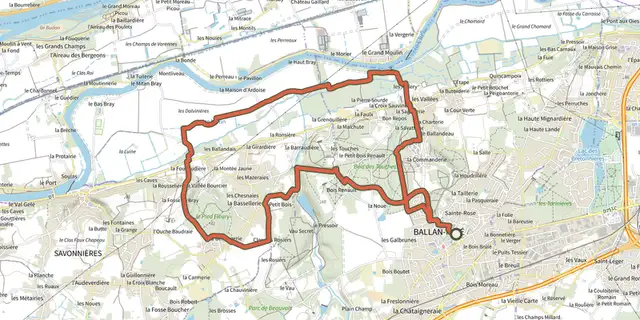 Plan IGN © IGN 2026Grand MoulinCentre-Val de Loire, Ballan-Miré (37) · LoopOfficial rating by Tours Métropole Val de Loire
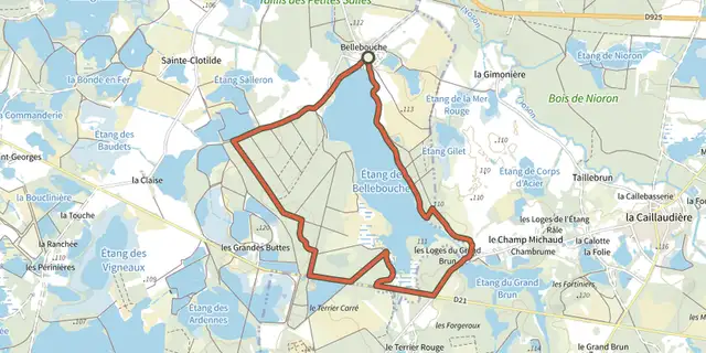 Plan IGN © IGN 2026 · track © OpenStreetMapHorizon de nénupharsCentre-Val de Loire, Mézières-en-Brenne (36) · Loop
 Plan IGN © IGN 2026 · track © OpenStreetMapLa BrosseCentre-Val de Loire, Yvoy-le-Marron (41) · Loop
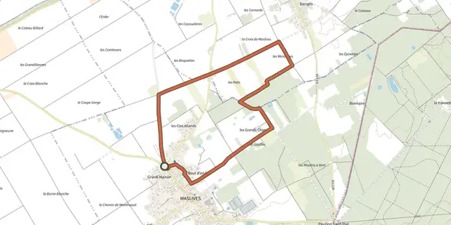 Plan IGN © IGN 2026 · track © OpenStreetMapLa croix de MaslivesCentre-Val de Loire, Maslives (41) · Loop
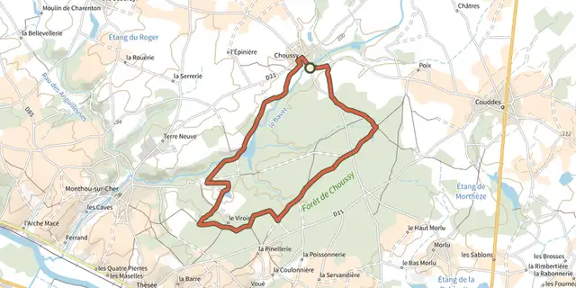 Plan IGN © IGN 2026 · track © OpenStreetMapLa forêt de ChoussyCentre-Val de Loire, Choussy (41) · Loop
 Plan IGN © IGN 2026 · track © OpenStreetMapLa grande promenade à ChambordCentre-Val de Loire, Chambord (41) · Loop