
Hiking GPX tracks in Centre-Val de Loire (page 6)
160 GPX tracks in Centre-Val de Loire, with distance, elevation gain and time for each track. Filter by department, sport, distance, elevation gain and time.
All GPX tracks in Centre-Val de Loire


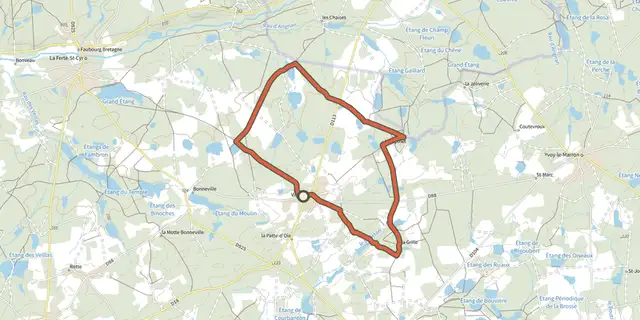
 Plan IGN © IGN 2026 · track © OpenStreetMapLes ThouardsCentre-Val de Loire, Villeny (41) · Loop
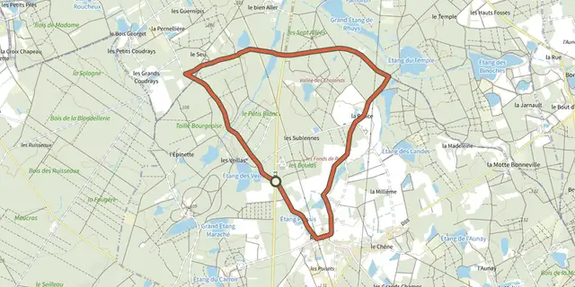 Plan IGN © IGN 2026 · track © OpenStreetMapLes VeillasCentre-Val de Loire, Dhuizon (41) · Loop
 Plan IGN © IGN 2026LoireCentre-Val de Loire, Saint-Pierre-des-Corps (37) · LoopOfficial rating by Tours Métropole Val de Loire
 Plan IGN © IGN 2026Loire et CherCentre-Val de Loire, Saint-Pierre-des-Corps (37) · LoopOfficial rating by Tours Métropole Val de Loire
 Plan IGN © IGN 2026 · track © OpenStreetMapLoup y es-tu ?Centre-Val de Loire, Luzeret (36) · Loop
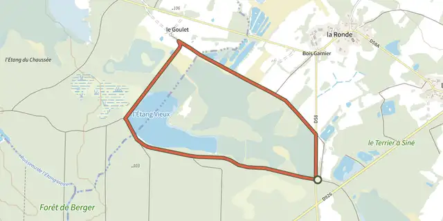 Plan IGN © IGN 2026 · track © OpenStreetMapLuxuriances marécageusesCentre-Val de Loire, Sainte-Gemme (36) · Loop
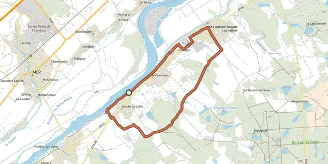 Plan IGN © IGN 2026 · track © OpenStreetMapMoulin CavierCentre-Val de Loire, Saint-Laurent-Nouan (41) · Loop
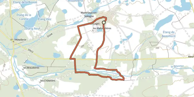 Plan IGN © IGN 2026 · track © OpenStreetMapMoulin de GauchèreCentre-Val de Loire, Montrieux-en-Sologne (41) · Loop
 Plan IGN © IGN 2026 · track © OpenStreetMapPar la voie verteCentre-Val de Loire, Rivarennes (36) · Loop
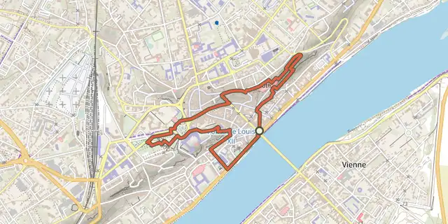 Plan IGN © IGN 2026 · track © OpenStreetMapParcours des fontainesCentre-Val de Loire, Blois (41) · Loop
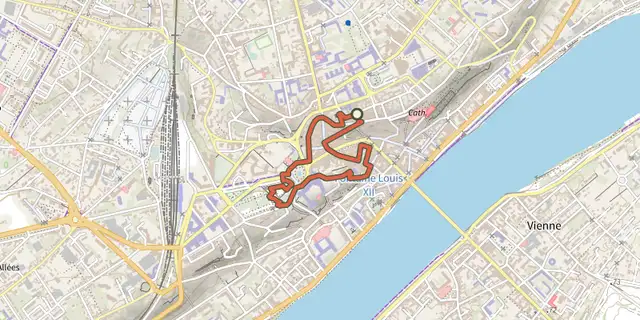 Plan IGN © IGN 2026 · track © OpenStreetMapParcours du Porc EpicCentre-Val de Loire, Blois (41) · Loop
 Plan IGN © IGN 2026 · track © OpenStreetMapParcours La Fleur de LysCentre-Val de Loire, Blois (41) · Loop
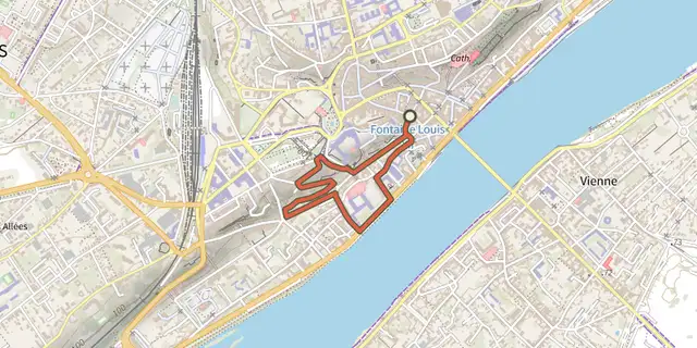 Plan IGN © IGN 2026 · track © OpenStreetMapParcours Les Flèches Saint NicolasCentre-Val de Loire, Blois (41) · Loop
 Plan IGN © IGN 2026 · track © OpenStreetMapPetit circuit des eauxCentre-Val de Loire, Saint-Denis-sur-Loire (41) · Loop
 Plan IGN © IGN 2026 · track © OpenStreetMapRain de la forêtCentre-Val de Loire, Mont-près-Chambord (41) · Loop
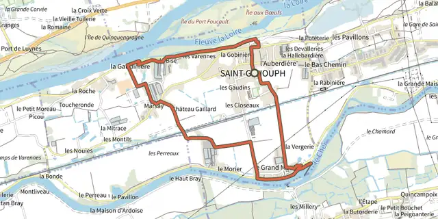 Plan IGN © IGN 2026Saint GenouphCentre-Val de Loire, Saint-Genouph (37) · LoopOfficial rating by Tours Métropole Val de Loire
 Plan IGN © IGN 2026 · track © OpenStreetMapSaint-CapraisCentre-Val de Loire, Yvoy-le-Marron (41) · Loop
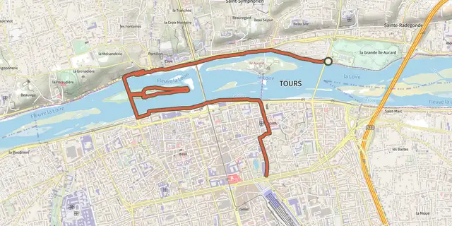 Plan IGN © IGN 2026Sentier bord de LoireCentre-Val de Loire, Tours (37) · Point to pointOfficial rating by Tours Métropole Val de Loire
 Plan IGN © IGN 2026Sentier cœur de villeCentre-Val de Loire, Tours (37) · Point to pointOfficial rating by Tours Métropole Val de Loire
 Plan IGN © IGN 2026Sentier de l'échappée verteCentre-Val de Loire, Joué-lès-Tours (37) · LoopOfficial rating by Tours Métropole Val de Loire
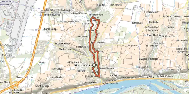 Plan IGN © IGN 2026Sentier de la BedoireCentre-Val de Loire, Rochecorbon (37) · LoopOfficial rating by Tours Métropole Val de Loire
 Plan IGN © IGN 2026Sentier de la Grotte aux FéesCentre-Val de Loire, Mettray (37) · LoopOfficial rating by Tours Métropole Val de Loire
 Plan IGN © IGN 2026Sentier de la Parcillonne nordCentre-Val de Loire, Rochecorbon (37) · Point to pointOfficial rating by Tours Métropole Val de Loire
 Plan IGN © IGN 2026Sentier de la Parcillonne nordCentre-Val de Loire, Parçay-Meslay (37) · LoopOfficial rating by Tours Métropole Val de Loire