
Hiking GPX tracks in Brittany (page 20)
725 GPX tracks in Brittany, with distance, elevation gain and time for each track. Filter by department, sport, distance, elevation gain and time.
All GPX tracks in Brittany


 Plan IGN © IGN 2026La foulée verteBrittany, Plouasne (22) · LoopOfficial rating by Département des Côtes d'Armor
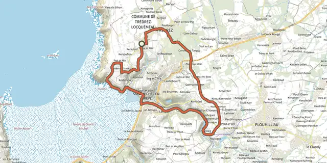 Plan IGN © IGN 2026La grève de Saint-MichelBrittany, Trédrez-Locquémeau (22) · Loop
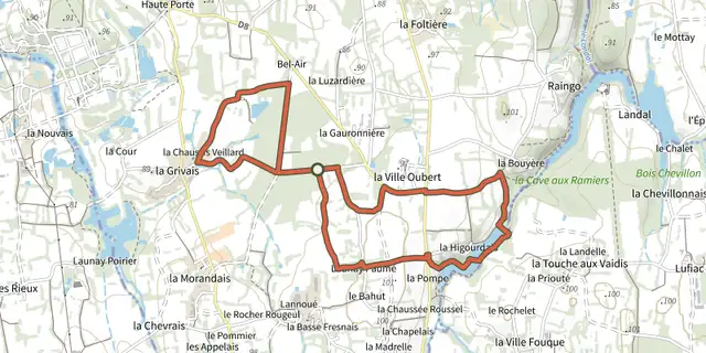 Plan IGN © IGN 2026 · track © OpenStreetMapLa HigourdaisBrittany, Epiniac (35) · Loop
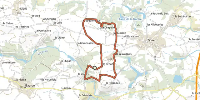 Plan IGN © IGN 2026 · track © OpenStreetMapLa Lande de CaffortBrittany, Goven (35) · Loop
 Plan IGN © IGN 2026 · track © OpenStreetMapLa lande de la rencontreBrittany, Saint-Aubin-du-Cormier (35) · Loop
 Plan IGN © IGN 2026 · track © OpenStreetMapLa Longue NoëBrittany, Landéan (35) · Loop
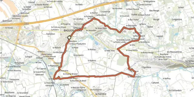 Plan IGN © IGN 2026 · track © OpenStreetMapLa MancelièreBrittany, Baguer-Pican (35) · Loop
 Plan IGN © IGN 2026La Mine d OrBrittany, Pénestin (56) · Loop
 Plan IGN © IGN 2026 · track © OpenStreetMapLa Noë des DamesBrittany, Larré (56) · Loop
 Plan IGN © IGN 2026La Noe des MouchesBrittany, Camoël (56) · Loop
 Plan IGN © IGN 2026 · track © OpenStreetMapLa passerelleBrittany, Saint-Goazec (29) · Loop
 Plan IGN © IGN 2026 · track © OpenStreetMapLa Pierre EnfouieBrittany, Landéan (35) · Loop
 Plan IGN © IGN 2026 · track © OpenStreetMapLa PloteraisBrittany, Baulon (35) · Loop
 Plan IGN © IGN 2026 · track © OpenStreetMapLa pointe de BeuzecBrittany, Beuzec-Cap-Sizun (29) · Loop
 Plan IGN © IGN 2026La pointe du CapBrittany, Erquy (22) · LoopOfficial rating by Département des Côtes d'Armor
 Plan IGN © IGN 2026La Pointe du DiableBrittany, Plouzané (29) · Loop
 Plan IGN © IGN 2026 · track © OpenStreetMapLa pointe du GrouinBrittany, Cancale (35) · Point to point
 Plan IGN © IGN 2026 · track © OpenStreetMapLa pointe du MeingaBrittany, Saint-Coulomb (35) · Loop
 Plan IGN © IGN 2026 · track © OpenStreetMapLa porte de BrocéliandeBrittany, Montfort-sur-Meu (35) · Loop
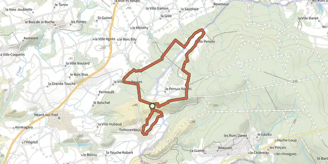 Plan IGN © IGN 2026 · track © OpenStreetMapLa Porte du CielBrittany, Tréhorenteuc (56) · Loop
 Plan IGN © IGN 2026La presqu'île de LandrellecBrittany, Pleumeur-Bodou (22) · Loop
 Plan IGN © IGN 2026 · track © OpenStreetMapLa Retenue de RophémelBrittany, Médréac (35) · Loop
 Plan IGN © IGN 2026 · track © OpenStreetMapLa Ria par les pinèdesBrittany, Plouhinec (56) · Point to point
 Plan IGN © IGN 2026 · track © OpenStreetMapLa rivière du BonoGulf of Morbihan, Le Bono (56) · Loop