
Traces GPX de randonnée en Bretagne (page 20)
725 traces GPX en Bretagne, avec distance, dénivelé et durée pour chaque trace. Filtrez par département, sport, distance, dénivelé et durée.
Toutes les traces GPX en Bretagne


 Plan IGN © IGN 2026La foulée verteBretagne, Plouasne (22) · BoucleCotation officielle selon Département des Côtes d'Armor
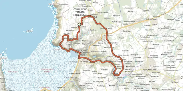 Plan IGN © IGN 2026La grève de Saint-MichelBretagne, Trédrez-Locquémeau (22) · Boucle
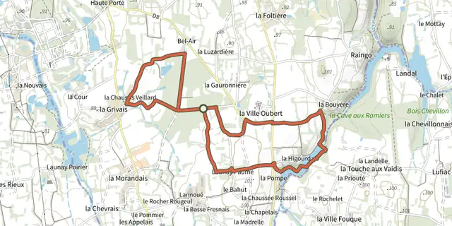 Plan IGN © IGN 2026 · tracé © OpenStreetMapLa HigourdaisBretagne, Epiniac (35) · Boucle
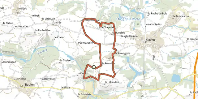 Plan IGN © IGN 2026 · tracé © OpenStreetMapLa Lande de CaffortBretagne, Goven (35) · Boucle
 Plan IGN © IGN 2026 · tracé © OpenStreetMapLa lande de la rencontreBretagne, Saint-Aubin-du-Cormier (35) · Boucle
 Plan IGN © IGN 2026 · tracé © OpenStreetMapLa Longue NoëBretagne, Landéan (35) · Boucle
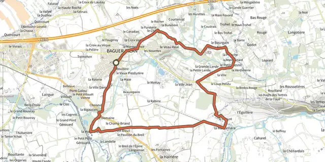 Plan IGN © IGN 2026 · tracé © OpenStreetMapLa MancelièreBretagne, Baguer-Pican (35) · Boucle
 Plan IGN © IGN 2026La Mine d OrBretagne, Pénestin (56) · Boucle
 Plan IGN © IGN 2026 · tracé © OpenStreetMapLa Noë des DamesBretagne, Larré (56) · Boucle
 Plan IGN © IGN 2026La Noe des MouchesBretagne, Camoël (56) · Boucle
 Plan IGN © IGN 2026 · tracé © OpenStreetMapLa passerelleBretagne, Saint-Goazec (29) · Boucle
 Plan IGN © IGN 2026 · tracé © OpenStreetMapLa Pierre EnfouieBretagne, Landéan (35) · Boucle
 Plan IGN © IGN 2026 · tracé © OpenStreetMapLa PloteraisBretagne, Baulon (35) · Boucle
 Plan IGN © IGN 2026 · tracé © OpenStreetMapLa pointe de BeuzecBretagne, Beuzec-Cap-Sizun (29) · Boucle
 Plan IGN © IGN 2026La pointe du CapBretagne, Erquy (22) · BoucleCotation officielle selon Département des Côtes d'Armor
 Plan IGN © IGN 2026La Pointe du DiableBretagne, Plouzané (29) · Boucle
 Plan IGN © IGN 2026 · tracé © OpenStreetMapLa pointe du GrouinBretagne, Cancale (35) · Traversée
 Plan IGN © IGN 2026 · tracé © OpenStreetMapLa pointe du MeingaBretagne, Saint-Coulomb (35) · Boucle
 Plan IGN © IGN 2026 · tracé © OpenStreetMapLa porte de BrocéliandeBretagne, Montfort-sur-Meu (35) · Boucle
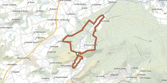 Plan IGN © IGN 2026 · tracé © OpenStreetMapLa Porte du CielBretagne, Tréhorenteuc (56) · Boucle
 Plan IGN © IGN 2026La presqu'île de LandrellecBretagne, Pleumeur-Bodou (22) · Boucle
 Plan IGN © IGN 2026 · tracé © OpenStreetMapLa Retenue de RophémelBretagne, Médréac (35) · Boucle
 Plan IGN © IGN 2026 · tracé © OpenStreetMapLa Ria par les pinèdesBretagne, Plouhinec (56) · Traversée
 Plan IGN © IGN 2026 · tracé © OpenStreetMapLa rivière du BonoGolfe du Morbihan, Le Bono (56) · Boucle