
Hiking GPX tracks in Auvergne (page 11)
439 GPX tracks in Auvergne, with distance, elevation gain and time for each track. Filter by department, sport, distance, elevation gain and time.
All GPX tracks in Auvergne


 Plan IGN © IGN 2026Le PéageAuvergne, Sainte-Agathe (63) · Loop
 Plan IGN © IGN 2026Le petit TurluronAuvergne, Billom (63) · Loop
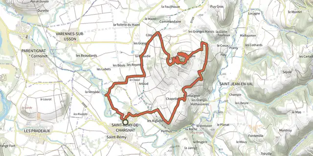 Plan IGN © IGN 2026Le Pic d'UssonAuvergne, Saint-Rémy-de-Chargnat (63) · Loop
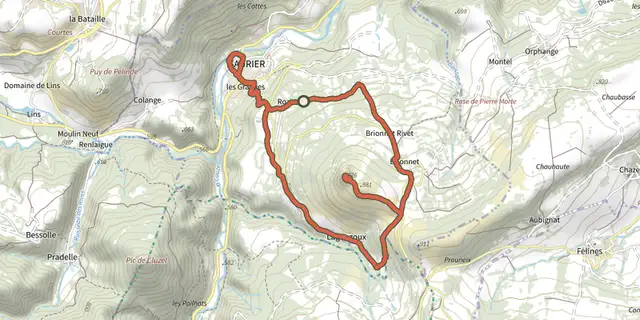 Plan IGN © IGN 2026Le Pic de BrionnetAuvergne, Saurier (63) · Loop
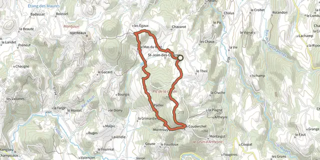 Plan IGN © IGN 2026Le Pic de la GardeAuvergne, Saint-Jean-des-Ollières (63) · Loop
 Plan IGN © IGN 2026Le Plan d'EauAuvergne, Lapeyrouse (63) · Loop
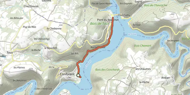 Plan IGN © IGN 2026Le Plan d'eau des Fades-BesservesAuvergne, Miremont (63) · Out and back
 Plan IGN © IGN 2026Le Plateau d'UsselAuvergne, Chassagne (63) · Loop
 Plan IGN © IGN 2026Le Plateau de Champ-GiraudAuvergne, Châteaugay (63) · Loop
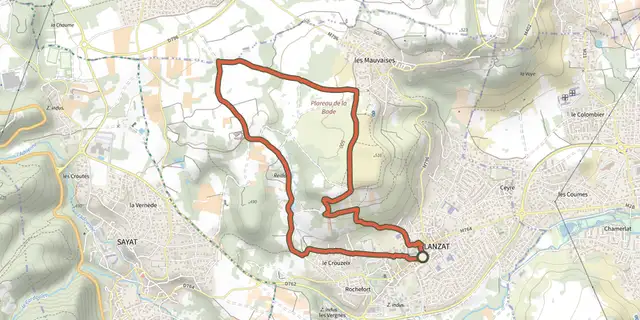 Plan IGN © IGN 2026Le Plateau de la BadeAuvergne, Blanzat (63) · Loop
 Plan IGN © IGN 2026Le Plateau de TauvesAuvergne, Tauves (63) · Loop
 Plan IGN © IGN 2026Le plateau du GueryAuvergne, Perpezat (63) · Loop
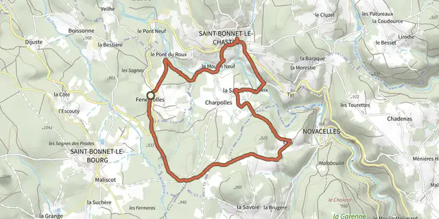 Plan IGN © IGN 2026Le Pont du RouxAuvergne, Saint-Bonnet-le-Bourg (63) · Loop
 Plan IGN © IGN 2026Le puy d'AlouAuvergne, Le Vernet-Sainte-Marguerite (63) · Loop
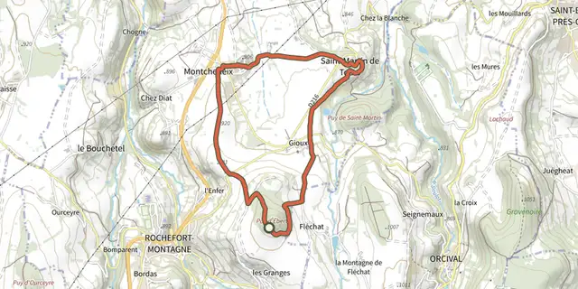 Plan IGN © IGN 2026Le Puy d'EbertAuvergne, Rochefort-Montagne (63) · Loop
 Plan IGN © IGN 2026Le puy d'EraigneAuvergne, Saint-Nectaire (63) · Loop
 Plan IGN © IGN 2026Le puy d'OscotAuvergne, Sainte-Agathe (63) · Loop
 Plan IGN © IGN 2026Le Puy d'YssonAuvergne, Solignat (63) · Loop
 Plan IGN © IGN 2026Le Puy de BaladouAuvergne, Saulzet-le-Froid (63) · Loop
 Plan IGN © IGN 2026Le Puy de CevelouxAuvergne, Manglieu (63) · Loop
 Plan IGN © IGN 2026Le puy de CorentAuvergne, Les Martres-de-Veyre (63) · Loop
 Plan IGN © IGN 2026Le Puy de CourdeloupAuvergne, Isserteaux (63) · Loop
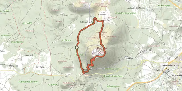 Plan IGN © IGN 2026Le puy de DômeAuvergne, Ceyssat (63) · Loop
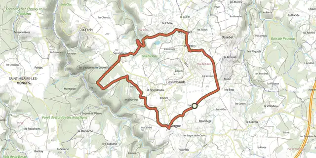 Plan IGN © IGN 2026Le puy de FauxAuvergne, Cisternes-la-Forêt (63) · Loop