
Hiking GPX tracks in Auvergne (page 10)
439 GPX tracks in Auvergne, with distance, elevation gain and time for each track. Filter by department, sport, distance, elevation gain and time.
All GPX tracks in Auvergne

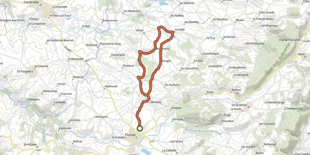
 Plan IGN © IGN 2026Le Circuit de BellaiguesAuvergne, Pionsat (63) · Loop
 Plan IGN © IGN 2026Le cirque d'ArtoutAuvergne, Anzat-le-Luguet (63) · Loop
 Plan IGN © IGN 2026Le col des PradeauxAuvergne, Grandrif (63) · Loop
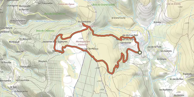 Plan IGN © IGN 2026Le Colporteur des JasseriesAuvergne, Saint-Anthème (63) · Loop
 Plan IGN © IGN 2026Le CrestAuvergne, Chanonat (63) · Loop
 Plan IGN © IGN 2026Le Creux de- 'OuletteAuvergne, Saillant (63) · Loop
 Plan IGN © IGN 2026Le Domaine de VortAuvergne, Orbeil (63) · Loop
 Plan IGN © IGN 2026Le Gour de TazenatAuvergne, Charbonnières-les-Vieilles (63) · Loop
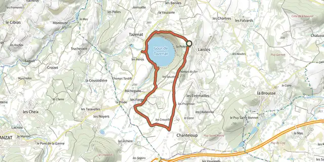 Plan IGN © IGN 2026Le Gour de TazenatAuvergne, Charbonnières-les-Vieilles (63) · Loop
 Plan IGN © IGN 2026Le Grun de ChignoreAuvergne, Vollore-Ville (63) · Loop
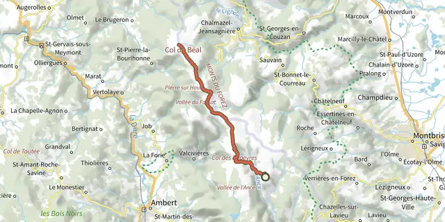 Plan IGN © IGN 2026Le Jas-du-Mas / Chalet-de-la-RocheAuvergne, Saint-Anthème (63) · Point to point
 Plan IGN © IGN 2026Le Lac ChambonAuvergne, Chambon-sur-Lac (63) · Loop
 Plan IGN © IGN 2026Le lac ChauvetAuvergne, Picherande (63) · Loop
 Plan IGN © IGN 2026 · track © OpenStreetMapLe Lac ChauvetAuvergne, Picherande (63) · Loop
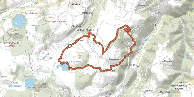 Plan IGN © IGN 2026Le lac de BourdouzeAuvergne, Besse-et-Saint-Anastaise (63) · Loop
 Plan IGN © IGN 2026Le Lac de la CregutAuvergne, Trémouille (15) · Loop
 Plan IGN © IGN 2026Le Lac PavinAuvergne, Besse-et-Saint-Anastaise (63) · Loop
 Plan IGN © IGN 2026Le Lit de la ViergeAuvergne, Vollore-Montagne (63) · Loop
 Plan IGN © IGN 2026Le long du BatifolAuvergne, La Forie (63) · Loop
 Plan IGN © IGN 2026Le Maar de BeaunitAuvergne, Charbonnières-les-Varennes (63) · Loop
 Plan IGN © IGN 2026Le Moulin de CombasAuvergne, Briffons (63) · Loop
 Plan IGN © IGN 2026Le Moulin de la RodeAuvergne, Le Vernet-Chaméane (63) · Loop
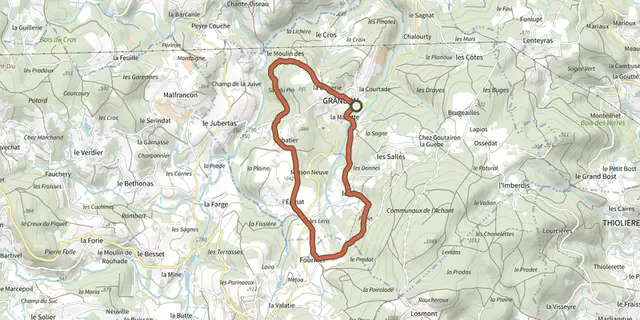 Plan IGN © IGN 2026Le Moulin des DonnesAuvergne, Grandval (63) · Loop
 Plan IGN © IGN 2026Le ParadisAuvergne, Royat (63) · Loop