
Hiking GPX tracks in Auvergne-Rhône-Alpes (page 18)
654 GPX tracks in Auvergne-Rhône-Alpes, with distance, elevation gain and time for each track. Filter by department, sport, distance, elevation gain and time.
All GPX tracks in Auvergne-Rhône-Alpes


 Plan IGN © IGN 2026Le Repaire des GauloisAuvergne, Chanat-la-Mouteyre (63) · Loop
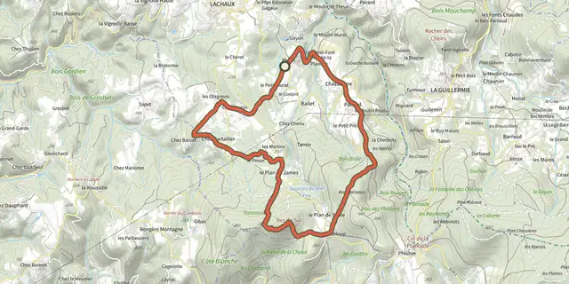 Plan IGN © IGN 2026Le Rez de SolAuvergne, Lachaux (63) · Loop
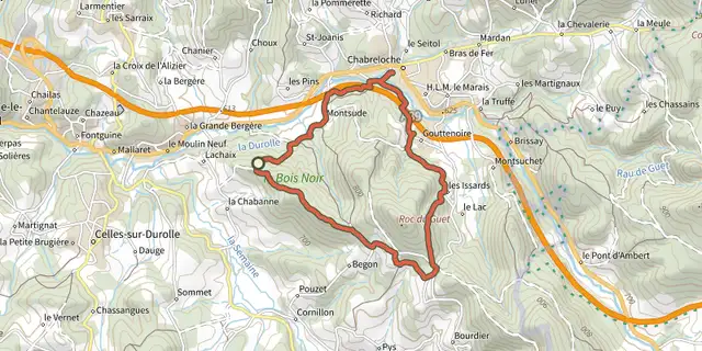 Plan IGN © IGN 2026Le Roc du GuetAuvergne, Celles-sur-Durolle (63) · Loop
 Plan IGN © IGN 2026Le Rocher du SalutAuvergne, Royat (63) · Loop
 Plan IGN © IGN 2026Le Ruisseau des EscuresAuvergne, Saint-Ferréol-des-Côtes (63) · Loop
 Plan IGN © IGN 2026Le SanglierAuvergne-Rhône-Alpes, Moye (74) · Point to point
 Plan IGN © IGN 2026Le sentier aux LoupsAuvergne, Valbeleix (63) · Loop
 Plan IGN © IGN 2026Le sentier de la GaillardeAuvergne, Montaigut-le-Blanc (63) · Loop
 Plan IGN © IGN 2026Le sentier de la Reine MargotAuvergne, Usson (63) · Loop
 Plan IGN © IGN 2026Le sentier de la VaisseAuvergne, Ambert (63) · Loop
 Plan IGN © IGN 2026Le sentier de NéronAuvergne, Dorat (63) · Loop
 Plan IGN © IGN 2026Le sentier de Pierre FolleAuvergne, Thiers (63) · Loop
 Plan IGN © IGN 2026Le sentier des Trois ClochersAuvergne, Prompsat (63) · Loop
 Plan IGN © IGN 2026Le sentier du cirque de la fontaine saléeAuvergne, Chastreix (63) · Loop
 Plan IGN © IGN 2026Le sentier du GlavinAuvergne, Mazaye (63) · Loop
 Plan IGN © IGN 2026 · track © OpenStreetMapLe sentier du martin pêcheurAuvergne-Rhône-Alpes, Saint-Romans (38) · Loop
 Plan IGN © IGN 2026Le sentier du PiséAuvergne, Sermentizon (63) · Loop
 Plan IGN © IGN 2026Le Signal du LuguetAuvergne, Anzat-le-Luguet (63) · Loop
 Plan IGN © IGN 2026Le SiouletAuvergne, Miremont (63) · Loop
 Plan IGN © IGN 2026 · track © OpenStreetMapLe Tacot - Pélussin n° 3Auvergne-Rhône-Alpes, Pélussin (42) · Loop
 Plan IGN © IGN 2026Le tour de la pinièreAuvergne, Montaigut-le-Blanc (63) · Loop
 Plan IGN © IGN 2026Le tour de Nattages (sans connection à Sorbier)Auvergne-Rhône-Alpes, Parves et Nattages (01) · LoopOfficial rating by Département de l'Ain
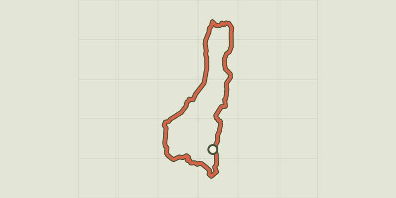 Plan IGN © IGN 2026 · track © OpenStreetMapLe Tour de RetordAuvergne-Rhône-Alpes, Injoux-Génissiat (01) · Loop
 Plan IGN © IGN 2026Le tour du Mont CordonAuvergne-Rhône-Alpes, Brégnier-Cordon (01) · LoopOfficial rating by Département de l'Ain