
Traces GPX dans les Écrins (page 3)
367 traces GPX dans les Écrins, avec distance, dénivelé et durée pour chaque trace. Filtrez par département, sport, distance, dénivelé et durée.
Toutes les traces GPX dans les Écrins


 Plan IGN © IGN 2026De la Bérarde au refuge du Châtelleret (copy)Écrins, Saint-Christophe-en-Oisans (38) · TraverséeCotation officielle selon Parc national des Écrins
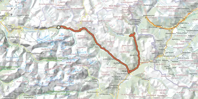
 Plan IGN © IGN 2026De La Grave au Col de l'ÉchelleÉcrins, La Grave (05) · Aller-retourCotation officielle selon Parc national des Écrins
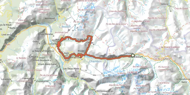 Plan IGN © IGN 2026De La Grave au col de Sarenne par l'Alpe d'HuezÉcrins, La Grave (05) · BoucleCotation officielle selon Parc national des Écrins
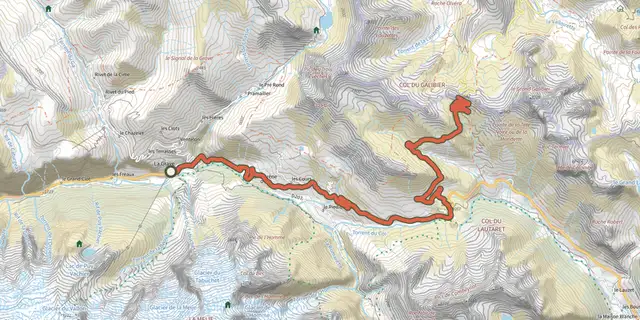 Plan IGN © IGN 2026De La Grave au Col du GalibierÉcrins, La Grave (05) · Aller-retourCotation officielle selon Parc national des Écrins
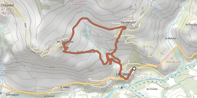 Plan IGN © IGN 2026De La Grave au hameau de VentelonÉcrins, La Grave (05) · BoucleCotation officielle selon Parc national des Écrins
 Plan IGN © IGN 2026De La Grave au Lac du Verney par les balcons de l'OisansÉcrins, La Grave (05) · BoucleCotation officielle selon Parc national des Écrins
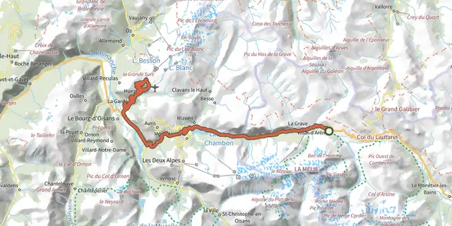 Plan IGN © IGN 2026De Villar d'Arène à l'Alpe d'HuezÉcrins, Villar-d'Arêne (05) · BoucleCotation officielle selon Parc national des Écrins
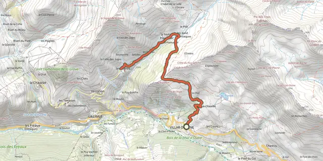 Plan IGN © IGN 2026De Villar d'Arène au hameau des HièresÉcrins, Villar-d'Arêne (05) · Aller-retourCotation officielle selon Parc national des Écrins
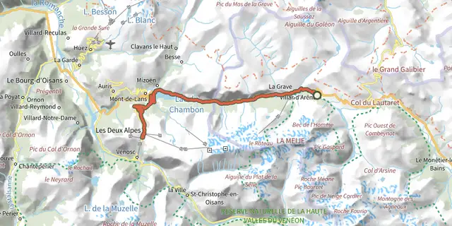 Plan IGN © IGN 2026De Villar d'Arène aux Deux AlpesÉcrins, Villar-d'Arêne (05) · Aller-retourCotation officielle selon Parc national des Écrins
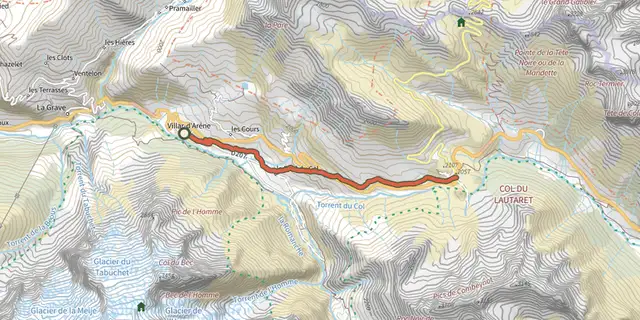 Plan IGN © IGN 2026De Villar d'Arène jusqu'au Col du LautaretÉcrins, Villar-d'Arêne (05) · Aller-retourCotation officielle selon Parc national des Écrins
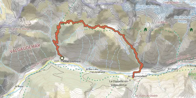 Plan IGN © IGN 2026De Villar-Loubière à La-Chapelle-en-ValgaudemarÉcrins, Villar-Loubière (05) · TraverséeCotation officielle selon Parc national des Écrins
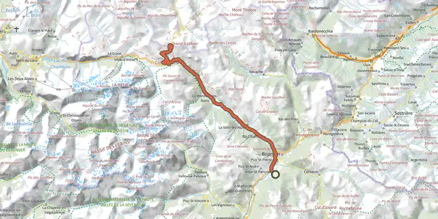 Plan IGN © IGN 2026De Villard-Saint-Pancrace au col du GalibierÉcrins, Villar-Saint-Pancrace (05) · Aller-retourCotation officielle selon Parc national des Écrins
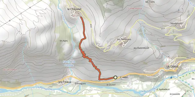 Plan IGN © IGN 2026Des Fréaux au ChazeletÉcrins, La Grave (05) · TraverséeCotation officielle selon Parc national des Écrins
 Plan IGN © IGN 2026Des Hières au hameau de ValfroideÉcrins, La Grave (05) · Aller-retourCotation officielle selon Parc national des Écrins
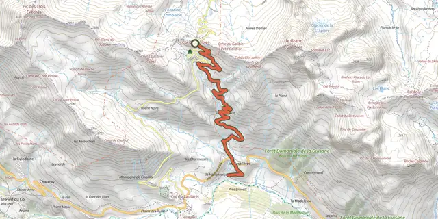
 Plan IGN © IGN 2026Descente du GalibierÉcrins, Le Monêtier-les-Bains (05) · TraverséeCotation officielle selon Parc national des Écrins
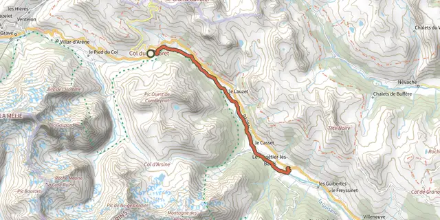 Plan IGN © IGN 2026Descente du LautaretÉcrins, Le Monêtier-les-Bains (05) · TraverséeCotation officielle selon Parc national des Écrins
 Plan IGN © IGN 2026Du Casset au LauzetÉcrins, Le Monêtier-les-Bains (05) · Aller-retourCotation officielle selon Parc national des Écrins
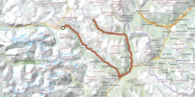 Plan IGN © IGN 2026Du Col du Lautaret à la haute vallée de la ClaréeÉcrins, Le Monêtier-les-Bains (05) · Aller-retourCotation officielle selon Parc national des Écrins
 Plan IGN © IGN 2026Du Col du Lautaret au Col de l'IzoardÉcrins, Le Monêtier-les-Bains (05) · Aller-retourCotation officielle selon Parc national des Écrins
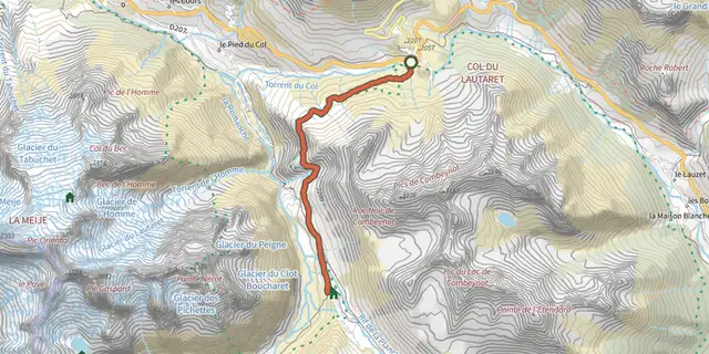 Plan IGN © IGN 2026Du Lautaret à l'Alpe de Villar d'Arène par le sentier des CrevassesÉcrins, Villar-d'Arêne (05) · Aller-retourCotation officielle selon Parc national des Écrins
 Plan IGN © IGN 2026Du refuge des Souffles au refuge de l'Olan (sans voiture)Écrins, Villar-Loubière (05) · TraverséeCotation officielle selon Parc national des Écrins
 Plan IGN © IGN 2026Du sommet Drouvet à PrapicÉcrins, Orcières (05) · TraverséeCotation officielle selon Parc national des Écrins
 Plan IGN © IGN 2026Du train au glacier Blanc en 3 jours (sans voiture)Écrins, L'Argentière-la-Bessée (05) · TraverséeCotation officielle selon Parc national des Écrins
 Plan IGN © IGN 2026Enduro de frozaneÉcrins, Embrun (05) · TraverséeCotation officielle selon Parc national des Écrins