
Traces GPX dans les Écrins (page 2)
367 traces GPX dans les Écrins, avec distance, dénivelé et durée pour chaque trace. Filtrez par département, sport, distance, dénivelé et durée.
Toutes les traces GPX dans les Écrins

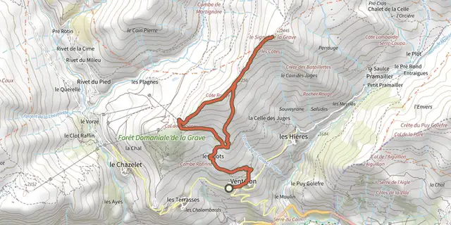
 Plan IGN © IGN 2026Boucle du Signal depuis VentelonÉcrins, La Grave (05) · BoucleCotation officielle selon Parc national des Écrins
 Plan IGN © IGN 2026Brèche Pacave départ téléphérique 2400Écrins, La Grave (05) · Aller-retourCotation officielle selon Parc national des Écrins
 Plan IGN © IGN 2026Cabane du Pré d'AntoniÉcrins, Réallon (05) · Aller-retourCotation officielle selon Parc national des Écrins
 Plan IGN © IGN 2026Cascade de la PisseÉcrins, Valjouffrey (38) · Aller-retourCotation officielle selon Parc national des Écrins
 Plan IGN © IGN 2026Chapelle Saint-MarcellinÉcrins, Réallon (05) · Aller-retourCotation officielle selon Parc national des Écrins
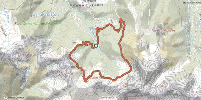
 Plan IGN © IGN 2026Chemin de ceintureÉcrins, Crots (05) · BoucleCotation officielle selon Parc national des Écrins
 Plan IGN © IGN 2026Chemin de la DuranceÉcrins, Châteauroux-les-Alpes (05) · Aller-retourCotation officielle selon Parc national des Écrins
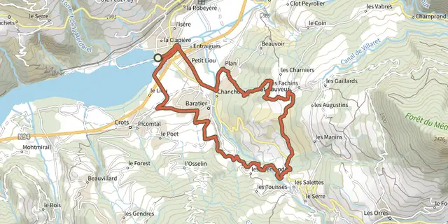
 Plan IGN © IGN 2026Circuit de Saint SauveurÉcrins, Embrun (05) · BoucleCotation officielle selon Parc national des Écrins
 Plan IGN © IGN 2026Clot BessonÉcrins, Crots (05) · BoucleCotation officielle selon Parc national des Écrins
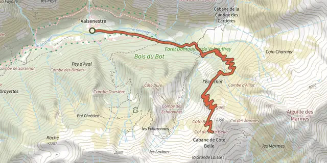 Plan IGN © IGN 2026Col de Côte Belle depuis ValsenestreÉcrins, Valjouffrey (38) · Aller-retourCotation officielle selon Parc national des Écrins
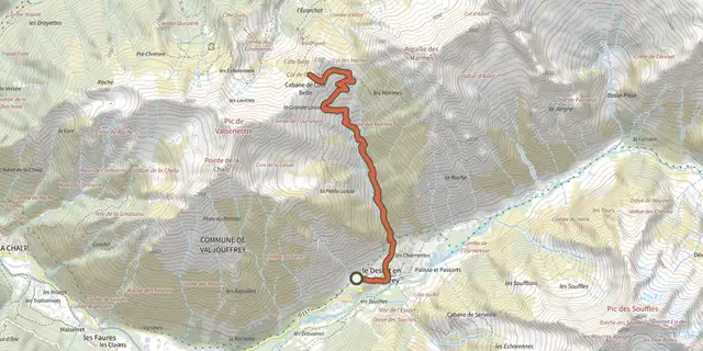 Plan IGN © IGN 2026Col de Côte Belle par le DésertÉcrins, Valjouffrey (38) · Aller-retourCotation officielle selon Parc national des Écrins
 Plan IGN © IGN 2026Col de Font FroideÉcrins, La Motte-en-Champsaur (05) · Aller-retourCotation officielle selon Parc national des Écrins
 Plan IGN © IGN 2026Col de l'Aup MartinÉcrins, Vallouise-Pelvoux (05) · Aller-retourCotation officielle selon Parc national des Écrins
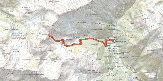 Plan IGN © IGN 2026Col de la CoupaÉcrins, Réallon (05) · Aller-retourCotation officielle selon Parc national des Écrins
 Plan IGN © IGN 2026Col de la Règue par le vallon de ChargèsÉcrins, Réallon (05) · Aller-retourCotation officielle selon Parc national des Écrins

 Plan IGN © IGN 2026Col de Pontis depuis Savines-le-LacÉcrins, Savines-le-Lac (05) · TraverséeCotation officielle selon Parc national des Écrins
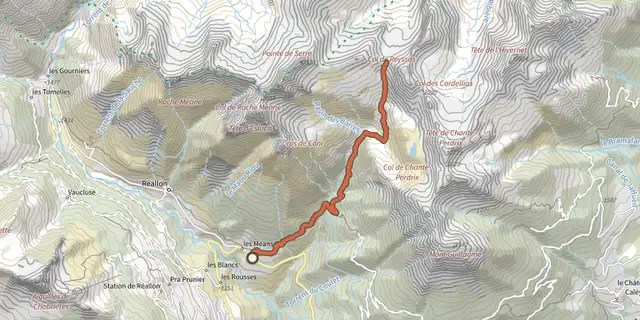 Plan IGN © IGN 2026Col de ReyssasÉcrins, Réallon (05) · Aller-retourCotation officielle selon Parc national des Écrins
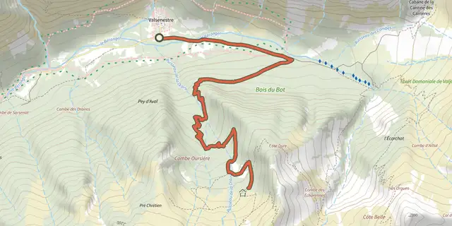 Plan IGN © IGN 2026Combe OursièreÉcrins, Valjouffrey (38) · Aller-retourCotation officielle selon Parc national des Écrins
 Plan IGN © IGN 2026Crête du LauzetÉcrins, Crots (05) · Aller-retourCotation officielle selon Parc national des Écrins
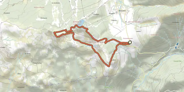 Plan IGN © IGN 2026Croix Saint-PhilippeÉcrins, Ancelle (05) · Aller-retourCotation officielle selon Parc national des Écrins
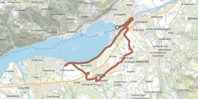 Plan IGN © IGN 2026Crots BeachÉcrins, Embrun (05) · BoucleCotation officielle selon Parc national des Écrins
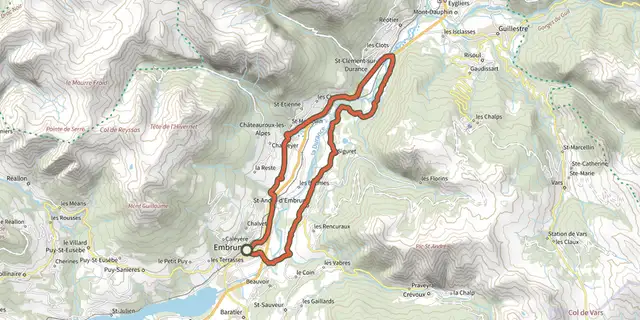 Plan IGN © IGN 2026D’une rive à l’autre de la DuranceÉcrins, Embrun (05) · BoucleCotation officielle selon Parc national des Écrins
 Plan IGN © IGN 2026De Chabournéou à Vallonpierre par le sentier du MinistreÉcrins, La Chapelle-en-Valgaudémar (05) · BoucleCotation officielle selon Parc national des Écrins
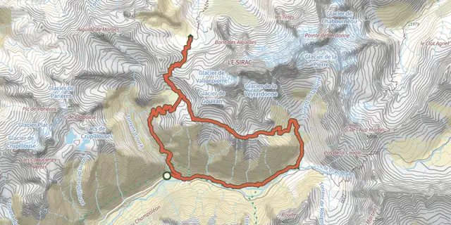 Plan IGN © IGN 2026De col en col jusqu'à VallonpierreÉcrins, Champoléon (05) · TraverséeCotation officielle selon Parc national des Écrins