
GPX tracks in the Vosges (page 20)
630 GPX tracks in the Vosges, with distance, elevation gain and time for each track. Filter by department, sport, distance, elevation gain and time.
All GPX tracks in the Vosges


 Plan IGN © IGN 2026 · track © OpenStreetMapLe tour du BrézouardVosges, Sainte-Marie-aux-Mines (68) · Loop
 Plan IGN © IGN 2026 · track © OpenStreetMapLe Tour du Grand JeanVosges, La Bresse (88) · Loop
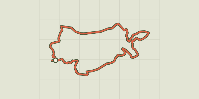 Plan IGN © IGN 2026 · track © OpenStreetMapLe Tour du MetteyVosges, Vagney (88) · Loop
 Plan IGN © IGN 2026 · track © OpenStreetMapLe tour du TaennchelVosges, Rodern (68) · Loop
 Plan IGN © IGN 2026 · track © OpenStreetMapLe Tour du VillageVosges, Saint-Nabord (88) · Loop
 Plan IGN © IGN 2026 · track © OpenStreetMapLe VallonVosges, Fresse-sur-Moselle (88) · Loop

 Plan IGN © IGN 2026 · track © OpenStreetMapLe Vignoble du BildstoeckleVosges, Obermorschwihr (68) · Loop
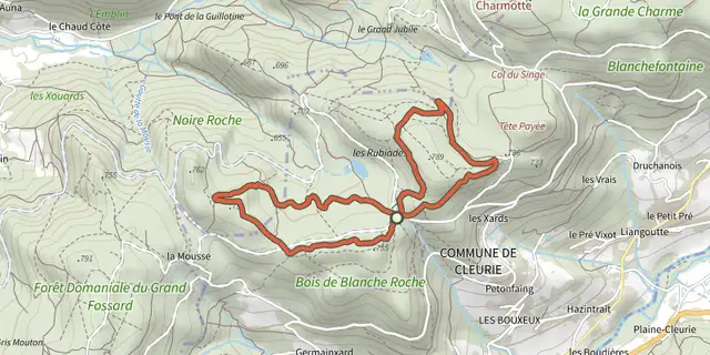 Plan IGN © IGN 2026 · track © OpenStreetMapLes Abris sous rochesVosges, Cleurie (88) · Loop
 Plan IGN © IGN 2026 · track © OpenStreetMapLes BagenellesVosges, Le Bonhomme (68) · Loop
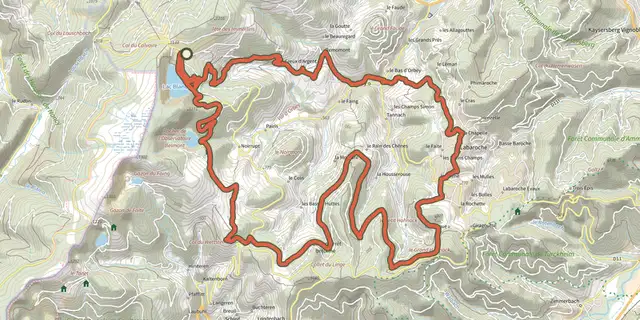 Plan IGN © IGN 2026 · track © OpenStreetMapLes balcons d'OrbeyVosges, Orbey (68) · Loop
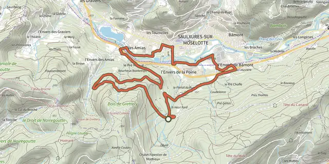 Plan IGN © IGN 2026 · track © OpenStreetMapLes BouchersVosges, Saulxures-sur-Moselotte (88) · Loop
 Plan IGN © IGN 2026 · track © OpenStreetMapLes BrimbellesVosges, Belfahy (70) · Loop
 Plan IGN © IGN 2026 · track © OpenStreetMapLes CaillouxVosges, Le Tholy (88) · Loop
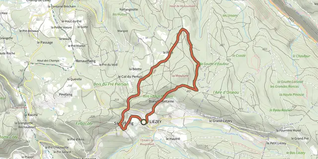 Plan IGN © IGN 2026 · track © OpenStreetMapLes Croix le chemin de LiézeyVosges, Liézey (88) · Loop
 Plan IGN © IGN 2026 · track © OpenStreetMapLes ÉpoissetsVosges, Écromagny (70) · Loop
 Plan IGN © IGN 2026 · track © OpenStreetMapLes ÉtangsVosges, Beulotte-Saint-Laurent (70) · Loop
 Plan IGN © IGN 2026 · track © OpenStreetMapLes Étangs du GirmontVosges, Girmont-Val-d'Ajol (88) · Loop
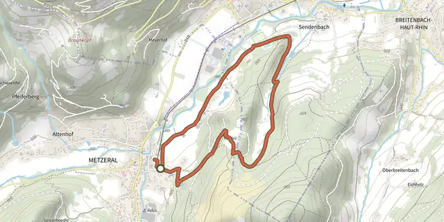 Plan IGN © IGN 2026 · track © OpenStreetMapLes GenetsVosges, Metzeral (68) · Loop
 Plan IGN © IGN 2026 · track © OpenStreetMapLes GrillouxVosges, Servance-Miellin (70) · Loop
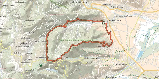 Plan IGN © IGN 2026 · track © OpenStreetMapLes hauteurs d'AmmerschwihrVosges, Ammerschwihr (68) · Loop
 Plan IGN © IGN 2026 · track © OpenStreetMapLes hauteurs de KatzenthalVosges, Katzenthal (68) · Loop
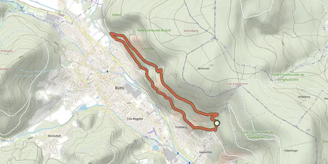 Plan IGN © IGN 2026 · track © OpenStreetMapLes Menhirs de l'AppenthalVosges, Guebwiller (68) · Loop
 Plan IGN © IGN 2026 · track © OpenStreetMapLes MérellesVosges, Orbey (68) · Loop
 Plan IGN © IGN 2026 · track © OpenStreetMapLes Mines d'ArgentsVosges, Sainte-Marie-aux-Mines (68) · Loop