
Hiking GPX tracks in the Vosges (page 14)
483 GPX tracks in the Vosges, with distance, elevation gain and time for each track. Filter by department, sport, distance, elevation gain and time.
All GPX tracks in the Vosges


 Plan IGN © IGN 2026 · track © OpenStreetMapHirschenbachVosges, Saint-Amarin (68) · Loop
 Plan IGN © IGN 2026 · track © OpenStreetMapKarsprung versant sudVosges, Willer-sur-Thur (68) · Loop
 Plan IGN © IGN 2026 · track © OpenStreetMapL'étang du VillerainVosges, Girmont-Val-d'Ajol (88) · Loop
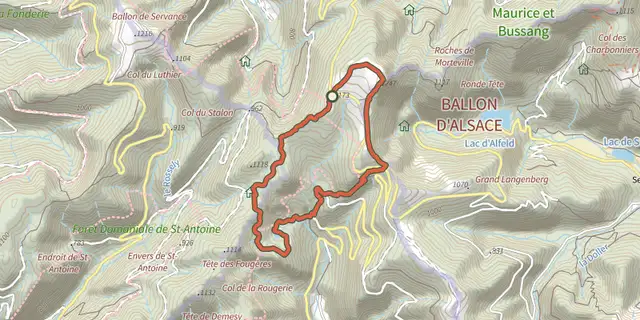 Plan IGN © IGN 2026 · track © OpenStreetMapLa balade des points de vueVosges, Saint-Maurice-sur-Moselle (88) · Loop
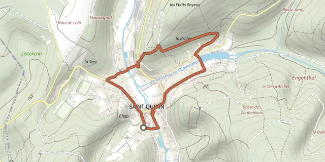 Plan IGN © IGN 2026 · track © OpenStreetMapLa Balade IrisVosges, Saint-Quirin (57) · Loop
 Plan IGN © IGN 2026 · track © OpenStreetMapLa Baraque carrée - le Chemin des BornesVosges, Saint-Quirin (57) · Loop
 Plan IGN © IGN 2026 · track © OpenStreetMapLa Belle RocheVosges, Saint-Quirin (57) · Loop
 Plan IGN © IGN 2026 · track © OpenStreetMapLa Beuille, sur la ligne de partage des eauxVosges, Girmont-Val-d'Ajol (88) · Loop
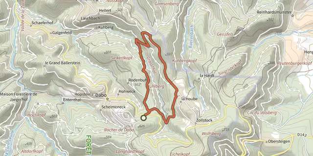 Plan IGN © IGN 2026 · track © OpenStreetMapLa borne Saint-MartinVosges, Dabo (57) · Loop
 Plan IGN © IGN 2026 · track © OpenStreetMapLa boucle des Rapailles de BémontVosges, Le Syndicat (88) · Loop
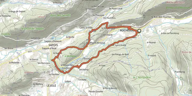 Plan IGN © IGN 2026 · track © OpenStreetMapLa cascade du BouchotVosges, Rochesson (88) · Loop
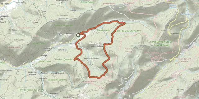 Plan IGN © IGN 2026 · track © OpenStreetMapLa Chapelle Saint-BlaiseVosges, Servance-Miellin (70) · Loop
 Plan IGN © IGN 2026 · track © OpenStreetMapLa Colline sèche du StrangenbergVosges, Westhalten (68) · Loop
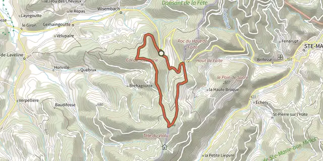 Plan IGN © IGN 2026 · track © OpenStreetMapLa Croix des SuédoisVosges, Gemaingoutte (88) · Loop
 Plan IGN © IGN 2026 · track © OpenStreetMapLa Grotte des BacellesVosges, Saint-Quirin (57) · Loop
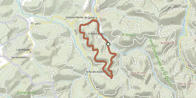 Plan IGN © IGN 2026 · track © OpenStreetMapLa Haute ChapelleVosges, Saint-Quirin (57) · Loop
 Plan IGN © IGN 2026 · track © OpenStreetMapLa Hazelle et les balcons du MetteyVosges, Vagney (88) · Loop
 Plan IGN © IGN 2026 · track © OpenStreetMapLa MerVosges, Faucogney-et-la-Mer (70) · Loop
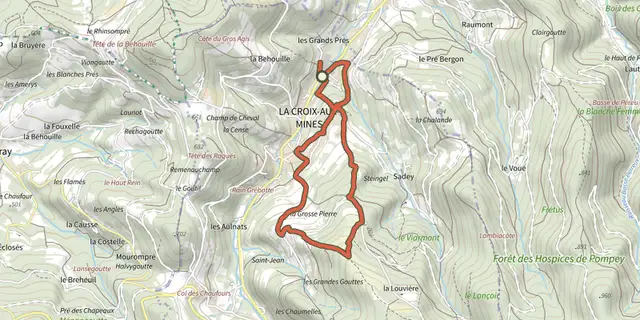 Plan IGN © IGN 2026 · track © OpenStreetMapLa Montagne d'ArgentVosges, La Croix-aux-Mines (88) · Loop
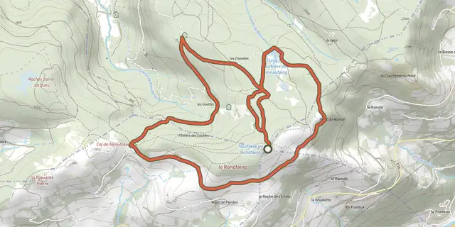 Plan IGN © IGN 2026 · track © OpenStreetMapLa Pierre des 4 communesVosges, La Bresse (88) · Loop
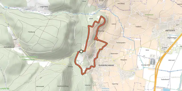 Plan IGN © IGN 2026 · track © OpenStreetMapLa promenade du Grand Cru GoldertVosges, Gueberschwihr (68) · Loop
 Plan IGN © IGN 2026 · track © OpenStreetMapLa promenade du Grand Cru SteinertVosges, Pfaffenheim (68) · Loop
 Plan IGN © IGN 2026 · track © OpenStreetMapLa Roseraie du HatschbourgVosges, Vœgtlinshoffen (68) · Loop
 Plan IGN © IGN 2026 · track © OpenStreetMapLa Source de la CudeVosges, Wisembach (88) · Loop