
The Prelles waterfall

Key facts
- Distance
- 6.0 km
- Ascent
- +191 m
- Descent
- −182 m
- Estimated time
- 1 hr 45
- hiking
- Difficulty
- Very easy
- official rating
- Route
- Out and back
- same way back
Profile and gradient
- under 10%
- 10 to 20%
- over 20%
Gradient along the route: 5.3 km under 10% and 0.8 km at 10 to 20%. Elevation from 1,475 m to 1,663 m over 6.0 km.
Surface and path types
- Surface
- Paved 1%
- Dirt & gravel 97%
- Unknown 2%
- Path types
- Track 98%
- Off-network 2%
Description
A family outing with a wonderful and refreshing waterfall as a reward. The route runs along the north-facing slope only, where the grass and heath are partly covered by bilberry, raspberry and juniper bushes. Here the vegetation is quite low-lying, made up mostly of bilberry and juniper bushes. On the other side of the torrent is the south-facing slope, which is warmer. From the Auberts car park, before the bridge across the torrent, go straight up 200m to the crossroads. Turn right to cross the torrent and go over to the left bank. Follow the route to the Pré de la Chaumette as far as the Prelles waterfall. After the waterfall, the path runs through the heart of the Ecrins National Park (entrance marked by three information panels). Come back the same way.
Difficulty
Official rating: very easy, by Parc national des Écrins.
Getting there
Start: Les Auberts, Champoléon, Champoléon (05).
Sources
- Track: Parc national des Écrins, Licence Ouverte 2.0, Licence Ouverte 2.0 (Etalab) (destination.ecrins-parcnational.fr/trek/905455-La-cascade-de-Prelles). Time estimated by GPX Path with the Mac app rule, breaks not included.
- Surface and path types: © OpenStreetMap contributors, ODbL, extract of 28 October 2026, matched to the track every 10 m (openstreetmap.org/copyright)
- Official elevation gain: 191 m, Parc national des Écrins
Nearby tracks

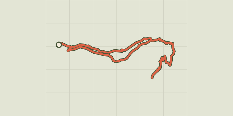
 Plan IGN © IGN 2026Refuge at Chaumette meadowProvence-Alpes-Côte d'Azur, Champoléon (05) · LoopOfficial rating by Parc national des Écrins
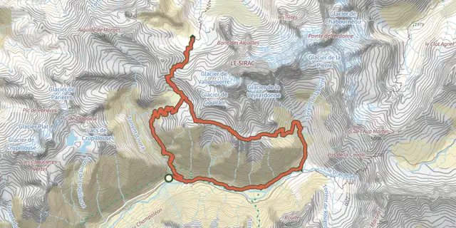
 Plan IGN © IGN 2026Col du Cheval de BoisÉcrins, Champoléon (05) · LoopOfficial rating by Parc national des Écrins
 Plan IGN © IGN 2026De col en col jusqu'à VallonpierreÉcrins, Champoléon (05) · Point to pointOfficial rating by Parc national des Écrins
 Plan IGN © IGN 2026 · track © OpenStreetMapEldorado ! Le Pas de la Cavale par ChampoléonÉcrins, Champoléon (05) · Point to point
 Plan IGN © IGN 2026Crupillouse LakesÉcrins, Champoléon (05) · Out and backOfficial rating by Parc national des Écrins
 Plan IGN © IGN 2026The Pisse waterfall in ChampsaurProvence-Alpes-Côte d'Azur, Champoléon (05) · Out and backOfficial rating by Parc national des Écrins