
GPX tracks in Provence-Alpes-Côte d'Azur (page 11)
1,050 GPX tracks in Provence-Alpes-Côte d'Azur, with distance, elevation gain and time for each track. Filter by department, sport, distance, elevation gain and time.
All GPX tracks in Provence-Alpes-Côte d'Azur


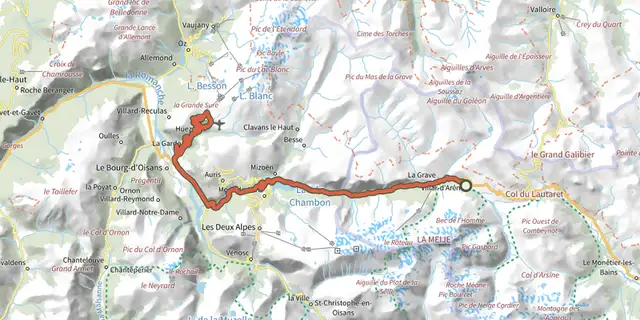
 Plan IGN © IGN 2026De Villar d'Arène à l'Alpe d'HuezÉcrins, Villar-d'Arêne (05) · LoopOfficial rating by Parc national des Écrins
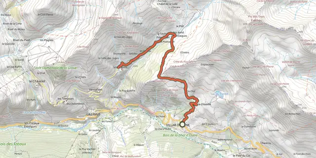
 Plan IGN © IGN 2026De Villar d'Arène au hameau des HièresÉcrins, Villar-d'Arêne (05) · Out and backOfficial rating by Parc national des Écrins
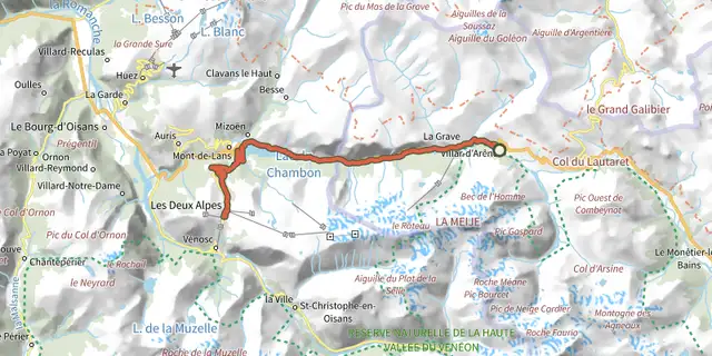 Plan IGN © IGN 2026De Villar d'Arène aux Deux AlpesÉcrins, Villar-d'Arêne (05) · Out and backOfficial rating by Parc national des Écrins
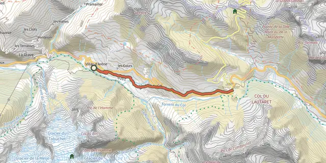 Plan IGN © IGN 2026De Villar d'Arène jusqu'au Col du LautaretÉcrins, Villar-d'Arêne (05) · Out and backOfficial rating by Parc national des Écrins
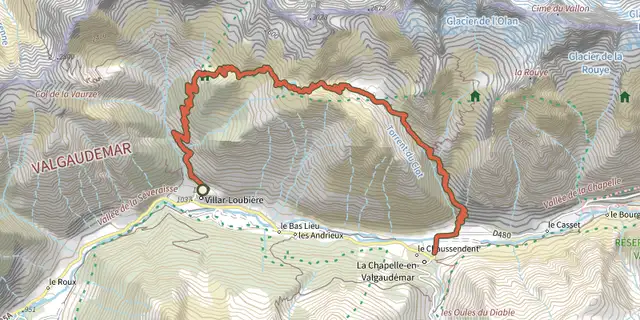 Plan IGN © IGN 2026From Villar-Loubière to La-Chapelle-en-ValgaudemarÉcrins, Villar-Loubière (05) · Point to pointOfficial rating by Parc national des Écrins
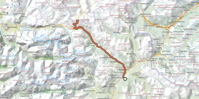 Plan IGN © IGN 2026De Villard-Saint-Pancrace au col du GalibierÉcrins, Villar-Saint-Pancrace (05) · Out and backOfficial rating by Parc national des Écrins
 Plan IGN © IGN 2026The burnt farmVerdon, Demandolx (04) · LoopOfficial rating by Parcs naturels régionaux de Provence-Alpes-Côte d'Azur
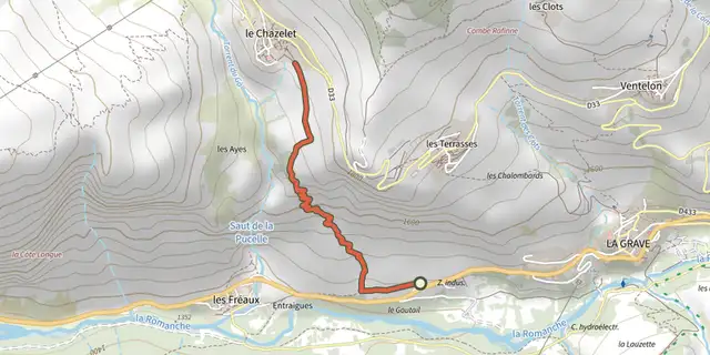 Plan IGN © IGN 2026Des Fréaux au ChazeletÉcrins, La Grave (05) · Point to pointOfficial rating by Parc national des Écrins
 Plan IGN © IGN 2026Des Hières au hameau de ValfroideÉcrins, La Grave (05) · Out and backOfficial rating by Parc national des Écrins
 Plan IGN © IGN 2026Saint-Saturnin-lès-Apt - Du moulin au châteauLuberon, Saint-Saturnin-lès-Apt (84) · LoopOfficial rating by Parcs naturels régionaux de Provence-Alpes-Côte d'Azur

 Plan IGN © IGN 2026Descente de la ClaréeProvence-Alpes-Côte d'Azur, Névache (05) · Point to pointOfficial rating by Parc national des Écrins
 Plan IGN © IGN 2026Descent from Les OrresProvence-Alpes-Côte d'Azur, Les Orres (05) · Point to pointOfficial rating by Parc national des Écrins
 Plan IGN © IGN 2026Descent from Les Orres via the County Town.Provence-Alpes-Côte d'Azur, Les Orres (05) · Point to pointOfficial rating by Parc national des Écrins
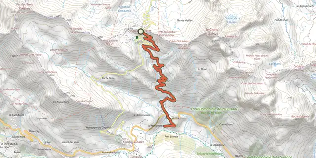 Plan IGN © IGN 2026Descente du GalibierÉcrins, Le Monêtier-les-Bains (05) · Point to pointOfficial rating by Parc national des Écrins
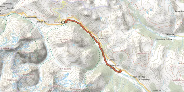 Plan IGN © IGN 2026Descente du LautaretÉcrins, Le Monêtier-les-Bains (05) · Point to pointOfficial rating by Parc national des Écrins
 Plan IGN © IGN 2026From Le Casset to Le LauzetÉcrins, Le Monêtier-les-Bains (05) · Out and backOfficial rating by Parc national des Écrins
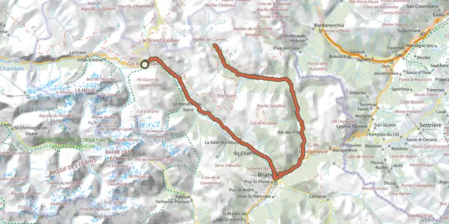 Plan IGN © IGN 2026Du Col du Lautaret à la haute vallée de la ClaréeÉcrins, Le Monêtier-les-Bains (05) · Out and backOfficial rating by Parc national des Écrins
 Plan IGN © IGN 2026Du Col du Lautaret au Col de l'IzoardÉcrins, Le Monêtier-les-Bains (05) · Out and backOfficial rating by Parc national des Écrins
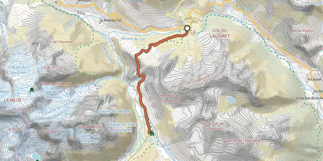 Plan IGN © IGN 2026Crossing from Lautaret to Alpe de VillarÉcrins, Villar-d'Arêne (05) · Out and backOfficial rating by Parc national des Écrins
 Plan IGN © IGN 2026Du refuge des Souffles au refuge de l'Olan (sans voiture)Écrins, Villar-Loubière (05) · Point to pointOfficial rating by Parc national des Écrins
 Plan IGN © IGN 2026Du Rosier à La Draye au fil de la ClaréeProvence-Alpes-Côte d'Azur, Val-des-Prés (05) · Out and backOfficial rating by Parc national des Écrins
 Plan IGN © IGN 2026Du sentier Merveilleux à l'oratoire de MietteProvence-Alpes-Côte d'Azur, Plan-d'Aups-Sainte-Baume (83) · LoopOfficial rating by Parcs naturels régionaux de Provence-Alpes-Côte d'Azur
 Plan IGN © IGN 2026From the Drouvet summit to PrapicÉcrins, Orcières (05) · Point to pointOfficial rating by Parc national des Écrins
 Plan IGN © IGN 2026Du train au glacier Blanc en 3 jours (sans voiture)Écrins, L'Argentière-la-Bessée (05) · Point to pointOfficial rating by Parc national des Écrins