
Le Chenaillet
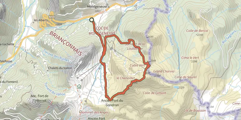
Key facts
- Distance
- 13.9 km
- Ascent
- +881 m
- Descent
- −844 m
- Estimated time
- 5 hr 10
- hiking
- Difficulty
- Difficult
- official rating
- Route
- Loop
- back to the start
Profile and gradient
- under 10%
- 10 to 20%
- over 20%
Gradient along the route: 4.2 km under 10%, 7.6 km at 10 to 20% and 2.1 km over 20%. Elevation from 1,838 m to 2,637 m over 13.9 km.
Surface and path types
- Surface
- Dirt & gravel 100%
- Path types
- Trail 68%
- Track 32%
Description
Difficulty
Official rating: difficult, by Parc national des Écrins.
Getting there
Start: A l'entrée du village, Montgenèvre (05).
Sources
- Track: Parc national des Écrins, Licence Ouverte 2.0, Licence Ouverte 2.0 (Etalab) (destination.ecrins-parcnational.fr/trek/995420-Le-Chenaillet). Time estimated by GPX Path with the Mac app rule, breaks not included.
- Surface and path types: © OpenStreetMap contributors, ODbL, extract of 28 October 2026, matched to the track every 10 m (openstreetmap.org/copyright)
- Official elevation gain: 881 m, Parc national des Écrins
Nearby tracks

 Plan IGN © IGN 2026Le tour du bois de SestrièresProvence-Alpes-Côte d'Azur, Montgenèvre (05) · LoopOfficial rating by Parc national des Écrins
 Plan IGN © IGN 2026Le Mont ChabertonProvence-Alpes-Côte d'Azur, Montgenèvre (05) · Out and backOfficial rating by Parc national des Écrins
 Plan IGN © IGN 2026Le tour des hameaux de Val-des-PrésProvence-Alpes-Côte d'Azur, Val-des-Prés (05) · LoopOfficial rating by Parc national des Écrins
 Plan IGN © IGN 2026Du Rosier à La Draye au fil de la ClaréeProvence-Alpes-Côte d'Azur, Val-des-Prés (05) · Out and backOfficial rating by Parc national des Écrins
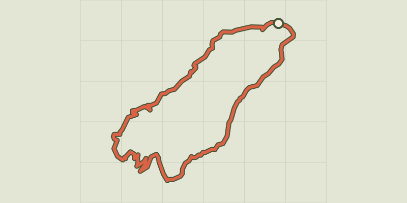 Plan IGN © IGN 2026Tour des Forts de Briançon depuis La VachetteProvence-Alpes-Côte d'Azur, Val-des-Prés (05) · LoopOfficial rating by Parc national des Écrins
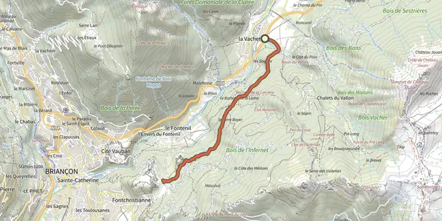 Plan IGN © IGN 2026Fort des Trois Têtes et Fort Dauphin depuis La VachetteProvence-Alpes-Côte d'Azur, Val-des-Prés (05) · Out and backOfficial rating by Parc national des Écrins