
Discovering Les Olliviers

Key facts
- Distance
- 9.8 km
- Ascent
- +218 m
- Descent
- −197 m
- Estimated time
- 40 min
- road cycling
- Difficulty
- Very easy
- official rating
- Route
- Loop
- back to the start
Profile and gradient
- under 10%
- 10 to 20%
- over 20%
Gradient along the route: 9.5 km under 10% and 0.2 km at 10 to 20%. Elevation from 846 m to 1,038 m over 9.8 km.
Description
A bucolic journey! Extremely accessible, this route combines physical effort with a visit to our heritage. The hustle and bustle of Chorges soon gives way to a calm and serene environment in the heart of the countryside. The initially difficult path becomes much easier when you reach this small plateau suspended in the heart of the mountain. The 360-degree panorama of the surrounding landscape is breathtaking. You cannot fail to be impressed by Chorges, with its 17th-century bell tower. - From Chorges station, follow the railway line then cross it, heading for Montgardin. The road rises slowly until the hamlet of Montgardin comes into view. At the crossroads, take the left fork and follow the road to Champ Peyron. - Continue on the main road and cross the Jacques and its well-cleared plateau, with a very fine view of various mountain ranges. At the next crossroads, turn left and continue towards Les Olliviers. - Now embark on a pleasant, gently sloping descent to Chorges. When you reach the N94, follow it for 500m, then turn left to cross it. - Take the left fork and finally take a few streets to find the station car park.
Difficulty
Official rating: very easy, by Parc national des Écrins.
Getting there
Start: Parking de la gare, Chorges, Chorges (05).
Sources
- Track: Parc national des Écrins, Licence Ouverte 2.0, Licence Ouverte 2.0 (Etalab) (destination.ecrins-parcnational.fr/trek/996001-A-la-decouverte-des-Olliviers). Time estimated by GPX Path with the Mac app rule, breaks not included.
- Official elevation gain: 218 m, Parc national des Écrins
Nearby tracks

 Plan IGN © IGN 2026Le Col LebrautProvence-Alpes-Côte d'Azur, Chorges (05) · LoopOfficial rating by Parc national des Écrins
 Plan IGN © IGN 2026Tour of Mont ColombisProvence-Alpes-Côte d'Azur, Chorges (05) · LoopOfficial rating by Parc national des Écrins
 Plan IGN © IGN 2026The balconies of ChorgesProvence-Alpes-Côte d'Azur, Chorges (05) · LoopOfficial rating by Parc national des Écrins
 Plan IGN © IGN 2026Montée de Réallon depuis ChorgesÉcrins, Chorges (05) · Point to pointOfficial rating by Parc national des Écrins
 Plan IGN © IGN 2026At the gateway to the EcrinsÉcrins, Savines-le-Lac (05) · LoopOfficial rating by Parc national des Écrins
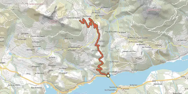 Plan IGN © IGN 2026Montée de Réallon depuis Savines-le-LacÉcrins, Savines-le-Lac (05) · Point to pointOfficial rating by Parc national des Écrins