
Circuit du Tracastel

Key facts
- Distance
- 6.9 km
- Ascent
- +391 m
- Descent
- −369 m
- Estimated time
- 2 hr 20
- hiking
- Difficulty
- Easy
- official rating
- Route
- Loop
- back to the start
Profile and gradient
- under 10%
- 10 to 20%
- over 20%
Gradient along the route: 4.0 km under 10%, 2.1 km at 10 to 20% and 0.9 km over 20%. Elevation from 965 m to 1,309 m over 6.9 km.
Surface and path types
- Surface
- Paved 26%
- Dirt & gravel 74%
- Path types
- Trail 74%
- Road 26%
Description
Very varied course, open to all, located in the heart of the national forest that covers the Tracastel mountain. "A beautiful circuit that starts with a winding trail above Saint-Auban. The height quickly gained on the first part of the hike opens on breathtaking panoramas on the clue of Saint-Auban, the crests of the Alps and the contours of the Verdon Regional Natural Park. A unique discovery of the evolution of landscapes shaped by water and time. " Sophie Lagarde - Préalpes d'Azur RNP From the church square of Saint-Auban, join the beacon 1 in the heart of the village. 1- Continue on the left, continue climbing stairs, rue Tracastel. Take the path (PR) which climbs in laces. Continue 200 m after climbing the break to the next intersection (beacon 2) 2- Turn off on your left as indicated to continue on the Tracastel circuit until a crossroads 1.5 km further.. 3- Take the path below and continue 2.7 km slightly downhill to find the Departmental Road numbered 2211. 4- Engage on the road and continue along the clue of Saint-Auban until finding the beacon 6. 5- Approach the path on the right that goes back to the heart of the village.
Difficulty
Official rating: easy, by Parcs naturels régionaux de Provence-Alpes-Côte d'Azur.
Before you go
- Caution on the road !
Getting there
Start: Village de Saint-Auban, Saint-Auban (06).
Sources
- Track: Parcs naturels régionaux de Provence-Alpes-Côte d'Azur (Chemins des Parcs), Licence Ouverte 2.0, Licence Ouverte 2.0 (Etalab) (www.cheminsdesparcs.fr/trek/61111-SAINT-AUBAN---Circuit-du-Tracastel). Time estimated by GPX Path with the Mac app rule, breaks not included.
- Surface and path types: © OpenStreetMap contributors, ODbL, extract of 28 October 2026, matched to the track every 10 m (openstreetmap.org/copyright)
- Official elevation gain: 391 m, Parcs naturels régionaux de Provence-Alpes-Côte d'Azur
Nearby tracks

 Plan IGN © IGN 2026Saint-Auban - GRASSE - La Maralpine en 5 joursProvence-Alpes-Côte d'Azur, Saint-Auban (06) · Point to pointOfficial rating by Parcs naturels régionaux de Provence-Alpes-Côte d'Azur
 Plan IGN © IGN 2026Saint-Auban - VENCE - La Maralpine en 5 joursProvence-Alpes-Côte d'Azur, Saint-Auban (06) · Point to pointOfficial rating by Parcs naturels régionaux de Provence-Alpes-Côte d'Azur
 Plan IGN © IGN 2026The Tour of Défens des ColettesVerdon, Soleilhas (04) · LoopOfficial rating by Parcs naturels régionaux de Provence-Alpes-Côte d'Azur
 Plan IGN © IGN 2026A round-trip to PeyroulesVerdon, Peyroules (04) · LoopOfficial rating by Parcs naturels régionaux de Provence-Alpes-Côte d'Azur
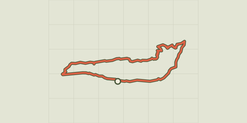 Plan IGN © IGN 2026Séranon - Crêtes du BaurouxProvence-Alpes-Côte d'Azur, Séranon (06) · LoopOfficial rating by Parcs naturels régionaux de Provence-Alpes-Côte d'Azur
 Plan IGN © IGN 2026Amirat - Col du trébuchetProvence-Alpes-Côte d'Azur, Amirat (06) · LoopOfficial rating by Parcs naturels régionaux de Provence-Alpes-Côte d'Azur