
La rade de Saint-Nazaire

Key facts
- Distance
- 2.9 km
- Ascent
- +0 m
- Descent
- −0 m
- Estimated time
- 40 min
- hiking
- Difficulty
- Easy
- official rating
- Route
- Loop
- back to the start
Official time: 35 min
Profile and gradient
- under 10%
- 10 to 20%
- over 20%
Gradient along the route: 2.9 km under 10%. Elevation from 5 m to 8 m over 2.9 km.
Surface and path types
- Surface
- Paved 93%
- Dirt & gravel 4%
- Unknown 3%
- Path types
- Trail 97%
- Road 3%
Difficulty
Official rating: easy, by Département de Loire-Atlantique.
Getting there
Start: Saint-Nazaire, Saint-Nazaire (44).
Sources
- Track: Département de Loire-Atlantique, PDIPR, Licence Ouverte 2.0, Licence Ouverte 2.0 (Etalab) (data.loire-atlantique.fr/explore/dataset/224400028_itineraires-de-promenade-et-de-randonnee-en-loire-atlantique-pdipr/). Time estimated by GPX Path with the Mac app rule, breaks not included.
- Official time: 35 min, data.loire-atlantique.fr
- Surface and path types: © OpenStreetMap contributors, ODbL, extract of 28 October 2026, matched to the track every 10 m (openstreetmap.org/copyright)
Nearby tracks

 Plan IGN © IGN 2026Du Port au Bois PorcéPays de la Loire, Saint-Nazaire (44) · LoopOfficial rating by Département de Loire-Atlantique
 Plan IGN © IGN 2026Du port au bois de PorcéPays de la Loire, Saint-Nazaire (44) · Point to point
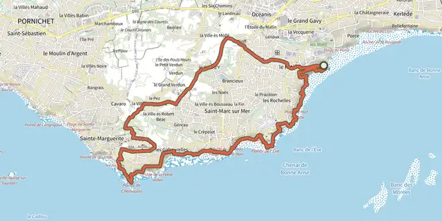 Plan IGN © IGN 2026Sur les Pas de M.HulotPays de la Loire, Saint-Nazaire (44) · LoopOfficial rating by Département de Loire-Atlantique
 Plan IGN © IGN 2026Les étangs du Bois Joalland et de GuindreffPays de la Loire, Saint-Nazaire (44) · LoopOfficial rating by Département de Loire-Atlantique
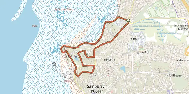 Plan IGN © IGN 2026Circuit du PointeauPays de la Loire, Saint-Brevin-les-Pins (44) · LoopOfficial rating by Département de Loire-Atlantique
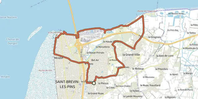 Plan IGN © IGN 2026Circuit de l'EstuairePays de la Loire, Saint-Brevin-les-Pins (44) · LoopOfficial rating by Département de Loire-Atlantique